1960 Las Palmas Ln Unit 137 Laughlin, NV 89029
Estimated Value: $158,548 - $190,000
3
Beds
2
Baths
1,208
Sq Ft
$145/Sq Ft
Est. Value
About This Home
This home is located at 1960 Las Palmas Ln Unit 137, Laughlin, NV 89029 and is currently estimated at $174,887, approximately $144 per square foot. 1960 Las Palmas Ln Unit 137 is a home located in Clark County with nearby schools including William G. Bennett Elementary School and Laughlin Junior/Senior High School.
Ownership History
Date
Name
Owned For
Owner Type
Purchase Details
Closed on
Feb 23, 2001
Sold by
Knight William T
Bought by
Deriggi Neal
Current Estimated Value
Home Financials for this Owner
Home Financials are based on the most recent Mortgage that was taken out on this home.
Original Mortgage
$78,570
Outstanding Balance
$28,524
Interest Rate
6.98%
Mortgage Type
FHA
Estimated Equity
$146,363
Create a Home Valuation Report for This Property
The Home Valuation Report is an in-depth analysis detailing your home's value as well as a comparison with similar homes in the area
Home Values in the Area
Average Home Value in this Area
Purchase History
| Date | Buyer | Sale Price | Title Company |
|---|---|---|---|
| Deriggi Neal | $81,000 | Nevada Title Company |
Source: Public Records
Mortgage History
| Date | Status | Borrower | Loan Amount |
|---|---|---|---|
| Open | Deriggi Neal | $78,570 |
Source: Public Records
Tax History Compared to Growth
Tax History
| Year | Tax Paid | Tax Assessment Tax Assessment Total Assessment is a certain percentage of the fair market value that is determined by local assessors to be the total taxable value of land and additions on the property. | Land | Improvement |
|---|---|---|---|---|
| 2025 | $897 | $33,837 | $10,500 | $23,337 |
| 2024 | $871 | $33,837 | $10,500 | $23,337 |
| 2023 | $871 | $38,629 | $16,800 | $21,829 |
| 2022 | $854 | $36,712 | $16,380 | $20,332 |
| 2021 | $832 | $32,469 | $12,600 | $19,869 |
| 2020 | $804 | $31,636 | $11,760 | $19,876 |
| 2019 | $780 | $28,338 | $8,400 | $19,938 |
| 2018 | $758 | $26,700 | $7,140 | $19,560 |
| 2017 | $835 | $28,891 | $8,750 | $20,141 |
| 2016 | $742 | $28,613 | $8,750 | $19,863 |
| 2015 | $742 | $26,789 | $8,750 | $18,039 |
| 2014 | $720 | $24,518 | $8,750 | $15,768 |
Source: Public Records
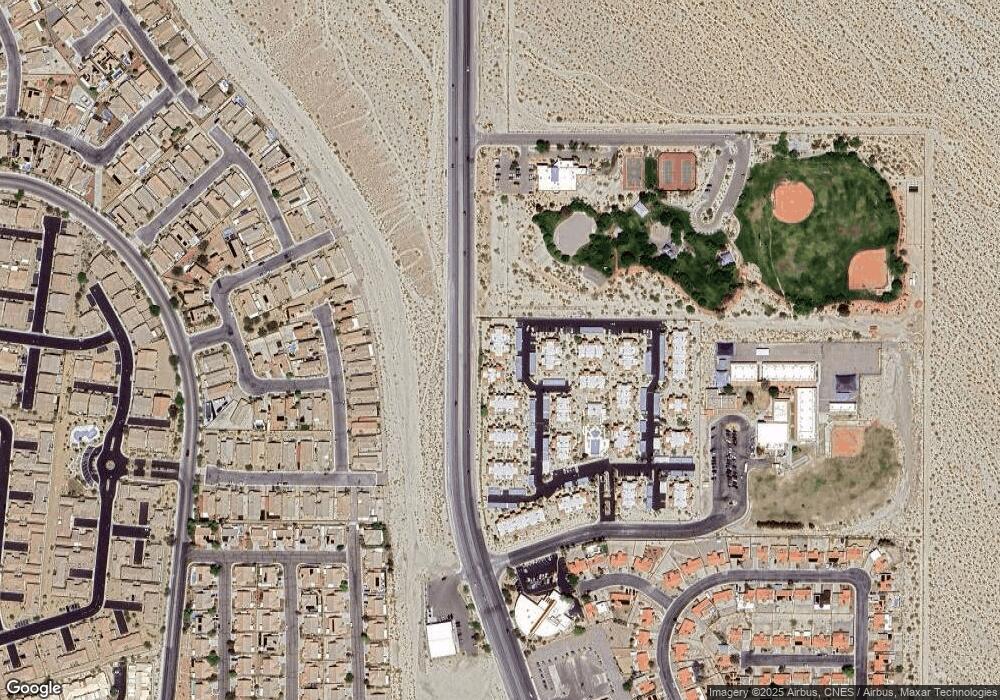
Map
Nearby Homes
- 1964 Las Palmas Ln Unit 141
- 1948 Las Palmas Ln Unit 277
- 1952 Las Palmas Ln Unit 232
- 1940 Las Palmas Ln Unit 272
- 1932 Las Palmas Ln Unit 283
- 2748 Brinkley Manor St
- 1928 Las Palmas Ln Unit 228
- 1936 Las Palmas Ln Unit 185
- 2772 Brinkley Manor St
- 2039 Port Royal Dr
- 2077 Alki Beach Ave
- 2078 Willow Bay Rd
- 2079 Port Royal Dr
- 2040 Port Royal Dr
- 2721 Benton Cove St
- 2823 Biscaya Dr
- 2847 Cattail Cove St
- 1862 Maricopa Dr
- 1851 Maricopa Dr
- 2612 Tullamore Creek Ln
- 1960 Las Palmas Ln Unit 237
- 1960 Las Palmas Ln Unit 238
- 1960 Las Palmas Ln Unit 239
- 1960 Las Palmas Ln Unit 138
- 1960 Las Palmas Ln Unit 140
- 1960 Las Palmas Ln
- 1964 Las Palmas Ln
- 1964 Las Palmas Ln Unit Steven Miller
- 1964 Las Palmas Ln Unit 144
- 1964 Las Palmas Ln Unit 142
- 1964 Las Palmas Ln Unit 244
- 1964 Las Palmas Ln Unit 143
- 1964 Las Palmas Ln Unit 242
- 1964 Las Palmas Ln
- 1956 Las Palmas Ln Unit 233
- 1956 Las Palmas Ln Unit 236
- 1956 Las Palmas Ln Unit 135
- 1956 Las Palmas Ln Unit 136
- 1956 Las Palmas Ln Unit 134