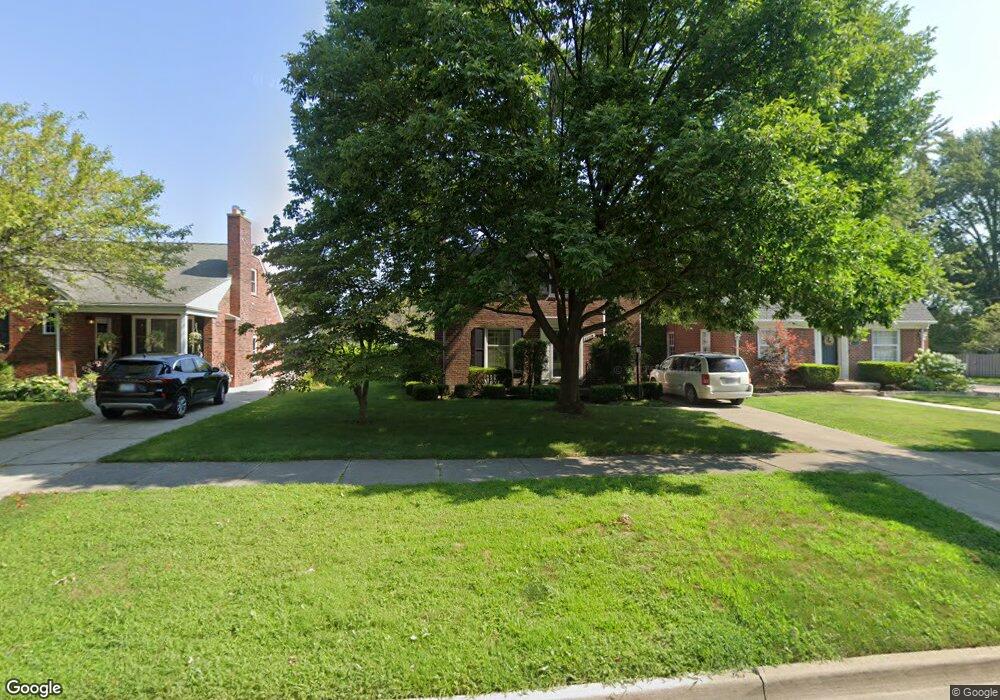
1960 Lochmoor Blvd Grosse Pointe Woods, MI 48236
Estimated Value: $288,173 - $310,000
3
Beds
1
Bath
1,404
Sq Ft
$215/Sq Ft
Est. Value
About This Home
This home is located at 1960 Lochmoor Blvd, Grosse Pointe Woods, MI 48236 and is currently estimated at $301,793, approximately $214 per square foot. 1960 Lochmoor Blvd is a home located in Wayne County with nearby schools including Stevens T. Mason Elementary School, Parcells Middle School, and Grosse Pointe North High School.
Ownership History
Date
Name
Owned For
Owner Type
Purchase Details
Closed on
Feb 2, 2023
Sold by
Hoover William Franklin
Bought by
William Franklin Hoover Jr Revocable Living T
Current Estimated Value
Purchase Details
Closed on
Mar 22, 2010
Sold by
Hoover Amy E
Bought by
Hoover William F
Purchase Details
Closed on
Jun 20, 2003
Sold by
Wilmot Joan L and Auito Steve
Bought by
Hoover William F
Purchase Details
Closed on
May 29, 1998
Sold by
Chielens Lucy E and Chielens Lucy C
Bought by
Wilmot Joan L
Create a Home Valuation Report for This Property
The Home Valuation Report is an in-depth analysis detailing your home's value as well as a comparison with similar homes in the area
Home Values in the Area
Average Home Value in this Area
Purchase History
| Date | Buyer | Sale Price | Title Company |
|---|---|---|---|
| William Franklin Hoover Jr Revocable Living T | -- | -- | |
| Hoover William F | -- | Multiple | |
| Hoover William F | $213,000 | Heritage Title Company | |
| Wilmot Joan L | $160,000 | -- |
Source: Public Records
Tax History Compared to Growth
Tax History
| Year | Tax Paid | Tax Assessment Tax Assessment Total Assessment is a certain percentage of the fair market value that is determined by local assessors to be the total taxable value of land and additions on the property. | Land | Improvement |
|---|---|---|---|---|
| 2025 | $2,695 | $135,700 | $0 | $0 |
| 2024 | $2,695 | $126,700 | $0 | $0 |
| 2023 | $2,591 | $119,600 | $0 | $0 |
| 2022 | $4,058 | $104,400 | $0 | $0 |
| 2021 | $3,869 | $101,600 | $0 | $0 |
| 2020 | $3,984 | $95,300 | $0 | $0 |
| 2019 | $3,891 | $91,900 | $0 | $0 |
| 2018 | $2,286 | $84,600 | $0 | $0 |
| 2017 | $2,656 | $81,400 | $0 | $0 |
| 2016 | $3,621 | $74,900 | $0 | $0 |
| 2015 | $6,276 | $69,700 | $0 | $0 |
| 2013 | $6,050 | $61,700 | $0 | $0 |
| 2012 | -- | $60,100 | $18,300 | $41,800 |
Source: Public Records
Map
Nearby Homes
- 2048 Hunt Club Dr
- 1828 Lochmoor Blvd
- 1930 Fleetwood Dr
- 1914 Fleetwood Dr
- 20950 Norwood Dr
- 20886 Hunt Club Dr
- 20926 Lennon St
- 20879 Beaufait St
- 1945 Anita Ave
- 20914 Woodmont St
- 20884 Woodmont St
- 21138 Huntington Ave
- 20871 van Antwerp St
- 1750 Vernier Rd Unit 22
- 1750 Vernier Rd Unit 6
- 20703 Fleetwood Dr
- 1505 Fairholme Rd
- 20923 Wildwood Dr Unit 226
- 20672 Fleetwood Dr
- 20870 Wildwood Dr Unit 221
- 1968 Lochmoor Blvd
- 1952 Lochmoor Blvd
- 1984 Lochmoor Blvd
- 1961 Country Club Dr
- 1969 Country Club Dr
- 1953 Country Club Dr
- 1930 Lochmoor Blvd
- 1977 Country Club Dr
- 1992 Lochmoor Blvd
- 1985 Country Club Dr
- 1922 Lochmoor Blvd
- 1931 Country Club Dr
- 1961 Lochmoor Blvd
- 1953 Lochmoor Blvd
- 1969 Lochmoor Blvd
- 2000 Lochmoor Blvd
- 1993 Country Club Dr
- 1977 Lochmoor Blvd
- 1914 Lochmoor Blvd
- 1923 Country Club Dr