1960 Pisgah Dr Canton, NC 28716
Estimated Value: $230,000 - $318,634
2
Beds
2
Baths
1,092
Sq Ft
$257/Sq Ft
Est. Value
About This Home
This home is located at 1960 Pisgah Dr, Canton, NC 28716 and is currently estimated at $280,409, approximately $256 per square foot. 1960 Pisgah Dr is a home located in Haywood County with nearby schools including Bethel Elementary, Bethel Middle School, and Pisgah High School.
Ownership History
Date
Name
Owned For
Owner Type
Purchase Details
Closed on
Dec 22, 2021
Sold by
Schaefer Vincent Jerome and Schaefer Roger
Bought by
Schaefer Anthony Mark and Schaefer Jody Jane
Current Estimated Value
Home Financials for this Owner
Home Financials are based on the most recent Mortgage that was taken out on this home.
Original Mortgage
$139,397
Outstanding Balance
$128,209
Interest Rate
3.11%
Mortgage Type
FHA
Estimated Equity
$152,200
Purchase Details
Closed on
Dec 10, 2020
Sold by
Schaefer Anthony Mark and Schaefer Jody Jane
Bought by
Schaefer Anthony Mark and Schaefer Jody Jane
Purchase Details
Closed on
Oct 5, 2011
Sold by
Schaefer Jerome F and Schaefer Bonnie S
Bought by
Schaefer Jerome F and Schaefer Bonnie S
Create a Home Valuation Report for This Property
The Home Valuation Report is an in-depth analysis detailing your home's value as well as a comparison with similar homes in the area
Home Values in the Area
Average Home Value in this Area
Purchase History
| Date | Buyer | Sale Price | Title Company |
|---|---|---|---|
| Schaefer Anthony Mark | $100,000 | None Available | |
| Schaefer Anthony Mark | -- | None Listed On Document | |
| Schaefer Jerome F | -- | None Available |
Source: Public Records
Mortgage History
| Date | Status | Borrower | Loan Amount |
|---|---|---|---|
| Open | Schaefer Anthony Mark | $139,397 |
Source: Public Records
Tax History Compared to Growth
Tax History
| Year | Tax Paid | Tax Assessment Tax Assessment Total Assessment is a certain percentage of the fair market value that is determined by local assessors to be the total taxable value of land and additions on the property. | Land | Improvement |
|---|---|---|---|---|
| 2025 | -- | $186,300 | $39,900 | $146,400 |
| 2024 | $1,361 | $186,300 | $39,900 | $146,400 |
| 2023 | $1,342 | $186,300 | $39,900 | $146,400 |
| 2022 | $1,314 | $186,300 | $39,900 | $146,400 |
| 2021 | $1,314 | $186,300 | $39,900 | $146,400 |
| 2020 | $1,116 | $142,800 | $39,900 | $102,900 |
| 2019 | $1,121 | $142,800 | $39,900 | $102,900 |
| 2018 | $1,121 | $142,800 | $39,900 | $102,900 |
| 2017 | $1,106 | $142,800 | $0 | $0 |
| 2016 | $1,165 | $156,100 | $0 | $0 |
| 2015 | $1,165 | $156,100 | $0 | $0 |
| 2014 | $1,054 | $156,100 | $0 | $0 |
Source: Public Records
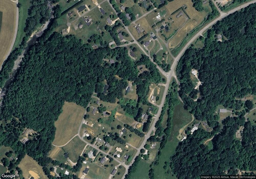
Map
Nearby Homes
- 188 Longue Vue Ln
- 54 Bittersweet Trail
- 189 Brookside Dr
- 57 Eden Brook Dr
- 286 Keith Dr
- 178 Keith Dr
- 00 Cove Creek Rd
- 61 Riverbend Rd
- 21 Riverbend Rd
- 32 Perseverance Dr
- 142 Substation Rd
- 21 Crooked Trail
- 1685 Queentown Rd
- 4 Mayapple Ln
- 28 Back Stage Pass
- TBD England Dr
- 18 Skyline Dr
- 109 Rhoda St
- 292 Skyline Dr
- 177 Rhoda St
- 179 Plott Farm Cir
- 1958 Pisgah Dr
- 2090 Pisgah Dr
- 1962 Pisgah Dr
- 91 Plott Farm Cir
- 2034 Pisgah Dr
- 23 Plott Farm Cir
- 187 Plott Farm Cir
- 2092 Pisgah Dr
- 213 Plott Farm Cir
- 2128 Pisgah Dr
- 60 Plott Farm Cir
- 64 Plott Dr
- 64 Plott Farm Cir
- 329 Plott Farm Cir
- 10 Plott Farm Cir
- 299 Plott Farm Cir
- 367 Plott Farm Cir
- 00 Garden Ln
- 383 Plott Farm Cir