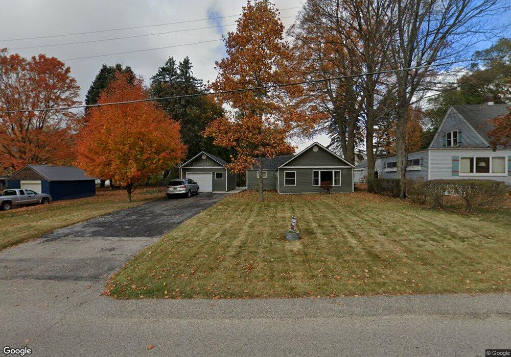
1960 Ray Ave New Era, MI 49446
Estimated Value: $148,302 - $256,000
--
Bed
--
Bath
--
Sq Ft
7,971
Sq Ft Lot
About This Home
This home is located at 1960 Ray Ave, New Era, MI 49446 and is currently estimated at $182,076. 1960 Ray Ave is a home located in Oceana County with nearby schools including Shelby High School and New Era Christian School.
Ownership History
Date
Name
Owned For
Owner Type
Purchase Details
Closed on
Oct 24, 2024
Sold by
Tenbrink Thomas J
Bought by
Tenbrink Thomas J and Tenbrink Betty A
Current Estimated Value
Purchase Details
Closed on
Oct 30, 2012
Sold by
Aldrich Teri L and Ten Brink Teri L
Bought by
Ten Brink Thomas J
Home Financials for this Owner
Home Financials are based on the most recent Mortgage that was taken out on this home.
Original Mortgage
$71,853
Interest Rate
2.71%
Mortgage Type
New Conventional
Purchase Details
Closed on
Jan 31, 2006
Sold by
Ten Brink Thomas J and Ten Brink Terri L
Bought by
Ten Brink Thomas J and Ten Brink Terri L
Purchase Details
Closed on
Feb 9, 2001
Sold by
Meyers and Tenbrink
Bought by
Meyers and Tenbrink
Purchase Details
Closed on
Jan 10, 2000
Sold by
King and Meyers
Bought by
King and Meyers
Create a Home Valuation Report for This Property
The Home Valuation Report is an in-depth analysis detailing your home's value as well as a comparison with similar homes in the area
Home Values in the Area
Average Home Value in this Area
Purchase History
| Date | Buyer | Sale Price | Title Company |
|---|---|---|---|
| Tenbrink Thomas J | -- | None Listed On Document | |
| Tenbrink Thomas J | -- | None Listed On Document | |
| Ten Brink Thomas J | -- | Hbi Title Services Inc | |
| Ten Brink Thomas J | -- | Hbi Title Services Inc | |
| Meyers | $79,000 | -- | |
| King | $60,000 | -- |
Source: Public Records
Mortgage History
| Date | Status | Borrower | Loan Amount |
|---|---|---|---|
| Previous Owner | Ten Brink Thomas J | $71,853 |
Source: Public Records
Tax History Compared to Growth
Tax History
| Year | Tax Paid | Tax Assessment Tax Assessment Total Assessment is a certain percentage of the fair market value that is determined by local assessors to be the total taxable value of land and additions on the property. | Land | Improvement |
|---|---|---|---|---|
| 2025 | $1,030 | $58,300 | $58,300 | $0 |
| 2024 | $562 | $54,300 | $54,300 | $0 |
| 2023 | $918 | $53,000 | $53,000 | $0 |
| 2022 | $1,071 | $41,200 | $0 | $0 |
| 2021 | $1,029 | $38,600 | $38,600 | $0 |
| 2020 | $947 | $39,400 | $39,400 | $0 |
| 2019 | $970 | $33,700 | $0 | $0 |
| 2018 | $937 | $29,900 | $0 | $0 |
| 2017 | $937 | $30,500 | $0 | $0 |
| 2016 | -- | $30,500 | $0 | $0 |
| 2013 | -- | $26,800 | $0 | $0 |
Source: Public Records
Map
Nearby Homes
- VL Ray and Elm St
- 4709 3rd St
- 2335 Pine Grove Dr
- 4585 3rd St
- 4623 N Lo Dr
- 14 Trim Lake View Estates
- 5422 Newago Trail
- Parcel 5 E Arthur Rd
- Parcel 1 E Arthur Rd
- 5692 Sagola Trail
- 3785 W M20
- 0 W Grant Rd
- 1041 W Arthur Rd
- 1936 W Cleveland Rd
- 5192 S 68th Ave
- VL W Cleveland Rd
- 0 S 88th Ave Unit 25051862
- 2845 S Oceana Dr
- 4897 S 64th Ave
- VL Clear Water Ct