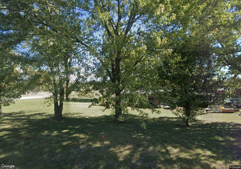
1960 State Route Z Franklin, MO 65250
Estimated Value: $272,000 - $455,000
3
Beds
4
Baths
3,600
Sq Ft
$104/Sq Ft
Est. Value
About This Home
This home is located at 1960 State Route Z, Franklin, MO 65250 and is currently estimated at $373,276, approximately $103 per square foot. 1960 State Route Z is a home located in Howard County with nearby schools including New Franklin Elementary School and New Franklin Middle/High School.
Create a Home Valuation Report for This Property
The Home Valuation Report is an in-depth analysis detailing your home's value as well as a comparison with similar homes in the area
Tax History
We collect this data history from publicly available records. To have your information removed, we recommend requesting removal directly through your county’s website.
| Year | Tax Paid | Tax Assessment Tax Assessment Total Assessment is a certain percentage of the fair market value that is determined by local assessors to be the total taxable value of land and additions on the property. | Land | Improvement |
|---|---|---|---|---|
| 2025 | $2,039 | $28,380 | $0 | $0 |
| 2024 | $2,045 | $28,380 | $0 | $0 |
| 2023 | $2,046 | $28,380 | $0 | $0 |
| 2022 | $2,046 | $28,380 | $0 | $0 |
| 2021 | $1,925 | $28,380 | $0 | $0 |
Source: Public Records
Map
Nearby Homes
- 000 County Road 339
- 220 Acres M L Ferry Rd
- 532 W Broadway
- 0 Ferry Rd
- 105 Court St
- 12217 Ferry Rd
- 106 McCulley St
- Lot 1- 5 35ac Raybar Dr
- Lot 2- 5 95ac Raybar Dr
- LOT 10A Grandview Acres
- 1136 U S Hwy 40
- 204 W Market St
- 206 S Howard St
- 0 Riviera Dr
- 1008 Oregon Trail
- 205 S Howard St
- 1504 Chisholm Trail
- LOT 9 Sunset Trail
- 1017 Santa fe Trail
- 0 4 01 Acres Boonville Mo Unit 435601
Your Personal Tour Guide
Ask me questions while you tour the home.