1960 Substation Rd Brunswick, OH 44212
Estimated Value: $306,000 - $420,118
4
Beds
3
Baths
1,244
Sq Ft
$271/Sq Ft
Est. Value
About This Home
This home is located at 1960 Substation Rd, Brunswick, OH 44212 and is currently estimated at $337,530, approximately $271 per square foot. 1960 Substation Rd is a home located in Medina County with nearby schools including Hickory Ridge Elementary School, Willets Middle School, and Brunswick High School.
Ownership History
Date
Name
Owned For
Owner Type
Purchase Details
Closed on
Apr 29, 2025
Sold by
Hickory Hills 1963 Llc
Bought by
Tyrpak Family Revocable Living Trust and Tyrpak
Current Estimated Value
Purchase Details
Closed on
Dec 7, 2022
Sold by
Tyrpak Gregory J
Bought by
Hickory Hills 1963 Llc
Purchase Details
Closed on
May 10, 2013
Sold by
Tyrpak Alice R
Bought by
Tyrpak Alice R and Tyrpak Gregory J
Purchase Details
Closed on
Jan 26, 2011
Sold by
Rohlik Harold E
Bought by
Estate) Tyrpak Alice
Purchase Details
Closed on
Apr 26, 2006
Sold by
Rohlik Eve R
Bought by
Rohlik Harold E
Purchase Details
Closed on
Dec 6, 1999
Sold by
Rohlik Harold E and Rohlik Eve R
Bought by
Rohlik Harold E and Rohlik Eve R
Create a Home Valuation Report for This Property
The Home Valuation Report is an in-depth analysis detailing your home's value as well as a comparison with similar homes in the area
Home Values in the Area
Average Home Value in this Area
Purchase History
| Date | Buyer | Sale Price | Title Company |
|---|---|---|---|
| Tyrpak Family Revocable Living Trust | -- | None Listed On Document | |
| Hickory Hills 1963 Llc | -- | -- | |
| Tyrpak Alice R | -- | None Available | |
| Estate) Tyrpak Alice | -- | -- | |
| Rohlik Harold E | -- | -- | |
| Rohlik Harold E | -- | -- |
Source: Public Records
Tax History Compared to Growth
Tax History
| Year | Tax Paid | Tax Assessment Tax Assessment Total Assessment is a certain percentage of the fair market value that is determined by local assessors to be the total taxable value of land and additions on the property. | Land | Improvement |
|---|---|---|---|---|
| 2024 | $4,267 | $74,030 | $27,180 | $46,850 |
| 2023 | $4,267 | $74,030 | $27,180 | $46,850 |
| 2022 | $3,975 | $74,030 | $27,180 | $46,850 |
| 2021 | $3,082 | $59,230 | $21,750 | $37,480 |
| 2020 | $2,800 | $59,230 | $21,750 | $37,480 |
| 2019 | $2,801 | $59,230 | $21,750 | $37,480 |
| 2018 | $2,734 | $56,150 | $19,710 | $36,440 |
| 2017 | $2,738 | $56,150 | $19,710 | $36,440 |
| 2016 | $2,736 | $56,150 | $19,710 | $36,440 |
| 2015 | $2,487 | $51,990 | $18,250 | $33,740 |
| 2014 | $2,481 | $51,990 | $18,250 | $33,740 |
| 2013 | $2,485 | $51,990 | $18,250 | $33,740 |
Source: Public Records
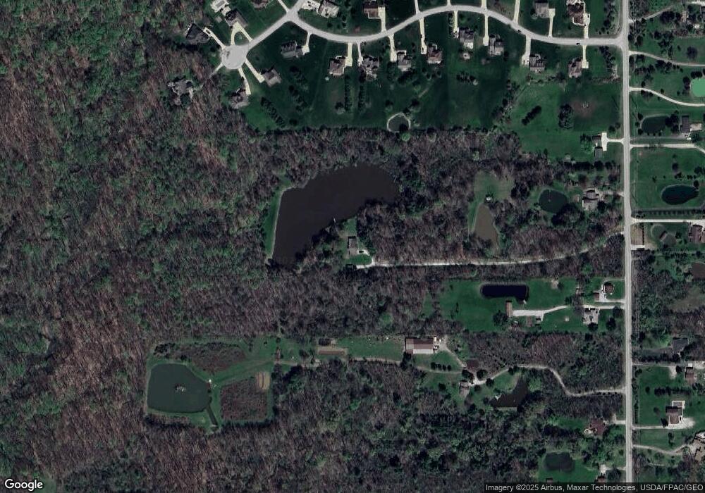
Map
Nearby Homes
- VL Laurel & Substation Rd
- 4464 Newcastle Cove
- 2483 Substation Rd
- 1536 Jefferson Ave
- 5395 Sleepy Hollow Rd Lot #12
- 1389 Mussel Shoals Dr
- 5411 Sleepy Hollow Rd Lot #11
- 4538 Kingsbury Rd
- 5035 Center Rd
- 5427 Sleepy Hollow Rd Lot #10
- 1431 Roosevelt Ave
- 5445 Sleepy Hollow Rd Lot #9
- 5101 Center Rd
- 5457 Sleepy Hollow Rd Lot #8
- 1591 Pearl Rd
- 2088 Glenmont
- 2090 Glenmont
- 4900 Salton Dr
- 2091 Glenmont
- 2097 Glenmont
- 1951 Substation Rd
- 1971 Substation Rd
- 1930 Substation Rd
- 1976 Substation Rd
- 1915 Substation Rd
- 1988 Substation Rd
- 1988 Substation Rd
- 1914 Substation Rd
- 2001 Substation Rd
- 1885 Substation Rd
- 4872 Roscommon Dr
- 2013 Substation Rd
- 1935 Substation Rd
- 2025 Substation Rd
- 2038 Substation Rd
- 4890 Roscommon Dr
- 1901 Substation Rd
- 4922 Roscommon Dr
- 2045 Substation Rd
- 4869 Roscommon Dr