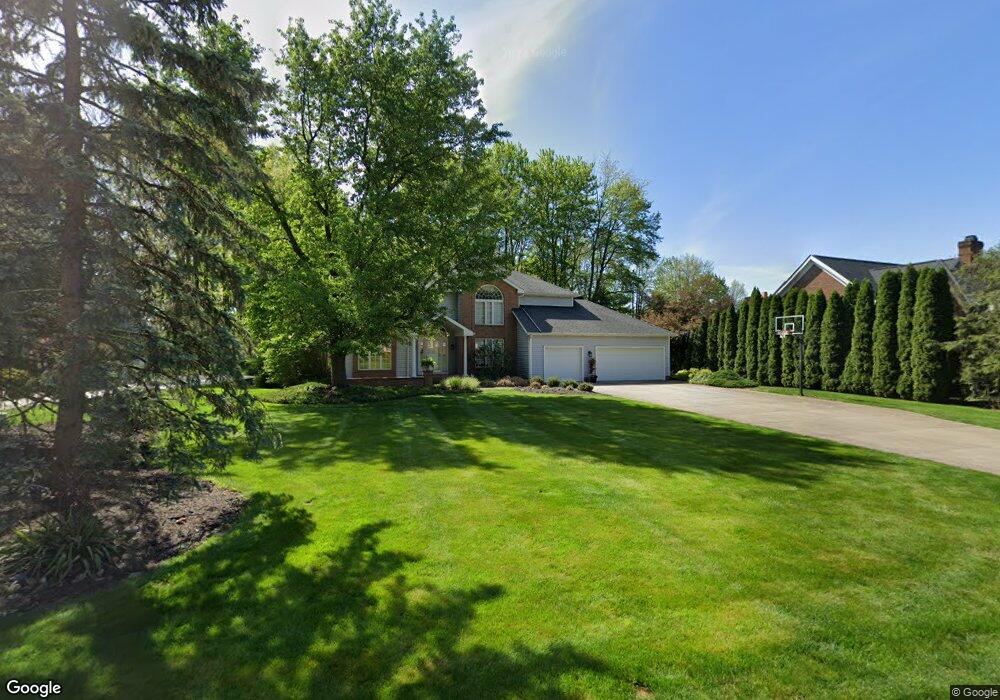
1960 Tamarisk Cir Uniontown, OH 44685
Estimated Value: $448,794 - $522,000
3
Beds
3
Baths
2,414
Sq Ft
$203/Sq Ft
Est. Value
About This Home
This home is located at 1960 Tamarisk Cir, Uniontown, OH 44685 and is currently estimated at $490,949, approximately $203 per square foot. 1960 Tamarisk Cir is a home located in Summit County with nearby schools including Greenwood Elementary School, Green Primary School, and Green Intermediate Elementary School.
Ownership History
Date
Name
Owned For
Owner Type
Purchase Details
Closed on
Aug 22, 2003
Sold by
Zimmerman Rick and Zimmerman Jeanne M
Bought by
Woodford Bruce W and Woodford Rebecca Guzy
Current Estimated Value
Home Financials for this Owner
Home Financials are based on the most recent Mortgage that was taken out on this home.
Original Mortgage
$80,000
Interest Rate
5.62%
Mortgage Type
Purchase Money Mortgage
Create a Home Valuation Report for This Property
The Home Valuation Report is an in-depth analysis detailing your home's value as well as a comparison with similar homes in the area
Home Values in the Area
Average Home Value in this Area
Purchase History
| Date | Buyer | Sale Price | Title Company |
|---|---|---|---|
| Woodford Bruce W | $338,750 | Buckeye Reserve Title Agency |
Source: Public Records
Mortgage History
| Date | Status | Borrower | Loan Amount |
|---|---|---|---|
| Closed | Woodford Bruce W | $80,000 |
Source: Public Records
Tax History Compared to Growth
Tax History
| Year | Tax Paid | Tax Assessment Tax Assessment Total Assessment is a certain percentage of the fair market value that is determined by local assessors to be the total taxable value of land and additions on the property. | Land | Improvement |
|---|---|---|---|---|
| 2025 | $5,946 | $124,642 | $20,888 | $103,754 |
| 2024 | $5,946 | $124,642 | $20,888 | $103,754 |
| 2023 | $5,946 | $124,642 | $20,888 | $103,754 |
| 2022 | $5,105 | $95,992 | $16,069 | $79,923 |
| 2021 | $4,793 | $95,992 | $16,069 | $79,923 |
| 2020 | $4,700 | $95,990 | $16,070 | $79,920 |
| 2019 | $5,094 | $97,680 | $16,070 | $81,610 |
| 2018 | $5,206 | $97,680 | $16,070 | $81,610 |
| 2017 | $5,056 | $97,680 | $16,070 | $81,610 |
| 2016 | $5,031 | $88,990 | $16,070 | $72,920 |
| 2015 | $5,056 | $88,990 | $16,070 | $72,920 |
| 2014 | $5,022 | $88,990 | $16,070 | $72,920 |
| 2013 | $5,155 | $90,930 | $16,070 | $74,860 |
Source: Public Records
Map
Nearby Homes
- 3523 Parfoure Blvd
- 1959 Fairway Dr
- 2189 E Park Dr
- 2245 Glenross Dr
- 3598 Elmhurst Cir
- 3117 Imrek Dr
- 3541 Elmhurst Cir
- 0 Raber Terrace
- 3609 Glenshire Cir Unit 55B
- 4009 Troon Dr
- 3083 Massillon Rd
- 3544 Raber Terrace
- 2518 Glenshire Cir Unit 36A
- 2154 Prestwick Dr
- 2511 Royal County Down
- 3534 Chanticleer Ct
- 2500 Marlborough Dr
- 2535 Royal County Down Unit B
- 1457 5th Ave
- 3117 Vermont Place
- 3431 Parfoure Blvd
- 1972 Tamarisk Cir
- 3443 Parfoure Blvd
- 1969 Tamarisk Cir
- 1983 Tamarisk Cir
- 1957 Tamarisk Cir
- 1975 Tamarisk Cir
- 1945 Tamarisk Cir
- 3455 Parfoure Blvd
- 3430 Parfoure Blvd
- 3448 Parfoure Blvd
- 3414 Parfoure Blvd
- 3391 Parfoure Blvd
- 3400 Parfoure Blvd
- 3469 Parfoure Blvd
- 3470 Parfoure Blvd
- V/L Parfoure Blvd
- 3381 Parfoure Blvd
- 1994 Fairway Dr
- 3392 Parfoure Blvd