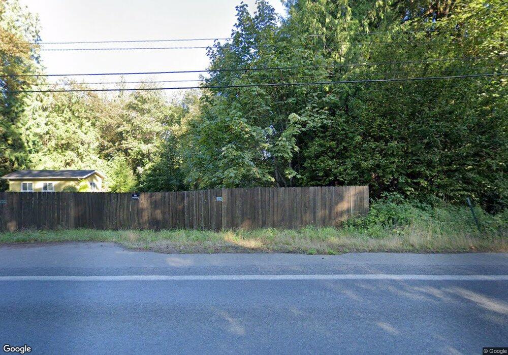
19601 E State Route 106 Belfair, WA 98528
Estimated Value: $577,000 - $769,000
4
Beds
1
Bath
2,316
Sq Ft
$288/Sq Ft
Est. Value
About This Home
This home is located at 19601 E State Route 106, Belfair, WA 98528 and is currently estimated at $667,493, approximately $288 per square foot. 19601 E State Route 106 is a home located in Mason County with nearby schools including North Mason Senior High School and Country Montessori School.
Ownership History
Date
Name
Owned For
Owner Type
Purchase Details
Closed on
Apr 22, 2008
Sold by
Wolff Travis I and Wolff Buni J
Bought by
Johnson Raymond A and Johnson Molly L
Current Estimated Value
Home Financials for this Owner
Home Financials are based on the most recent Mortgage that was taken out on this home.
Original Mortgage
$252,000
Outstanding Balance
$160,793
Interest Rate
6.11%
Mortgage Type
New Conventional
Estimated Equity
$506,700
Create a Home Valuation Report for This Property
The Home Valuation Report is an in-depth analysis detailing your home's value as well as a comparison with similar homes in the area
Home Values in the Area
Average Home Value in this Area
Purchase History
| Date | Buyer | Sale Price | Title Company |
|---|---|---|---|
| Johnson Raymond A | $315,000 | Land Title Co |
Source: Public Records
Mortgage History
| Date | Status | Borrower | Loan Amount |
|---|---|---|---|
| Open | Johnson Raymond A | $252,000 |
Source: Public Records
Tax History Compared to Growth
Tax History
| Year | Tax Paid | Tax Assessment Tax Assessment Total Assessment is a certain percentage of the fair market value that is determined by local assessors to be the total taxable value of land and additions on the property. | Land | Improvement |
|---|---|---|---|---|
| 2025 | $3,335 | $463,135 | $102,715 | $360,420 |
| 2023 | $3,335 | $467,110 | $146,365 | $320,745 |
| 2022 | $4,622 | $503,275 | $124,515 | $378,760 |
| 2021 | $3,316 | $503,275 | $124,515 | $378,760 |
| 2020 | $3,826 | $368,345 | $118,585 | $249,760 |
| 2018 | $3,638 | $311,470 | $158,110 | $153,360 |
| 2017 | $3,314 | $311,470 | $158,110 | $153,360 |
| 2016 | $3,085 | $290,000 | $150,580 | $139,420 |
| 2015 | $2,999 | $272,080 | $106,145 | $165,935 |
| 2014 | -- | $260,655 | $97,175 | $163,480 |
| 2013 | -- | $289,425 | $134,550 | $154,875 |
Source: Public Records
Map
Nearby Homes
- 131 E Rasor Rd
- 19253 Washington 106
- 80 E Jody Lynn Ln
- 470 E Rasor Rd
- 961 E Rasor Rd
- 541 NE Squire Ln
- 323 E Alderwood Rd
- 440 NE Gladwin Rd
- 301 NE West J Way
- 90 NE Burt Ct
- 131 NE West J Way
- 101 NE Wj Way
- 323 NE Barbara Blvd
- 221 NE West J Way
- 261 NE West J Way
- 200 NE West J Way
- 321 NE Barbara Blvd
- 591 NE Matthew Dr
- 261 NE Jolly Roger Ln
- 111 NE Briggadun Dr
- 19550 Washington 106
- 19550 E State Route 106
- 19590 E State Route 106
- 19601 Washington 106
- 0 E Rasor Rd Unit 1290965
- 0 E Rasor Rd Unit 819611
- 0 E Rasor Rd Unit 728871
- 1 E Rasor Rd
- 0 E Rasor Rd Unit 937654
- 2 E Rasor Rd Unit 53-54
- 0 E Rasor Rd Unit 728827
- 0 E Rasor Rd Unit 1104454
- 0 E Rasor Rd Unit 29108610
- 0 E Rasor Rd Unit 1255193
- 0 E Rasor Rd Unit 1185449
- 0 E Rasor Rd Unit 1184795
- 0 E Rasor Rd Unit NWM172510
- 2 E Rasor Rd Unit 2 & 3
- 0 E Rasor Rd Unit NWM21107298
- 0 E Rasor Rd Unit NWM20043889
