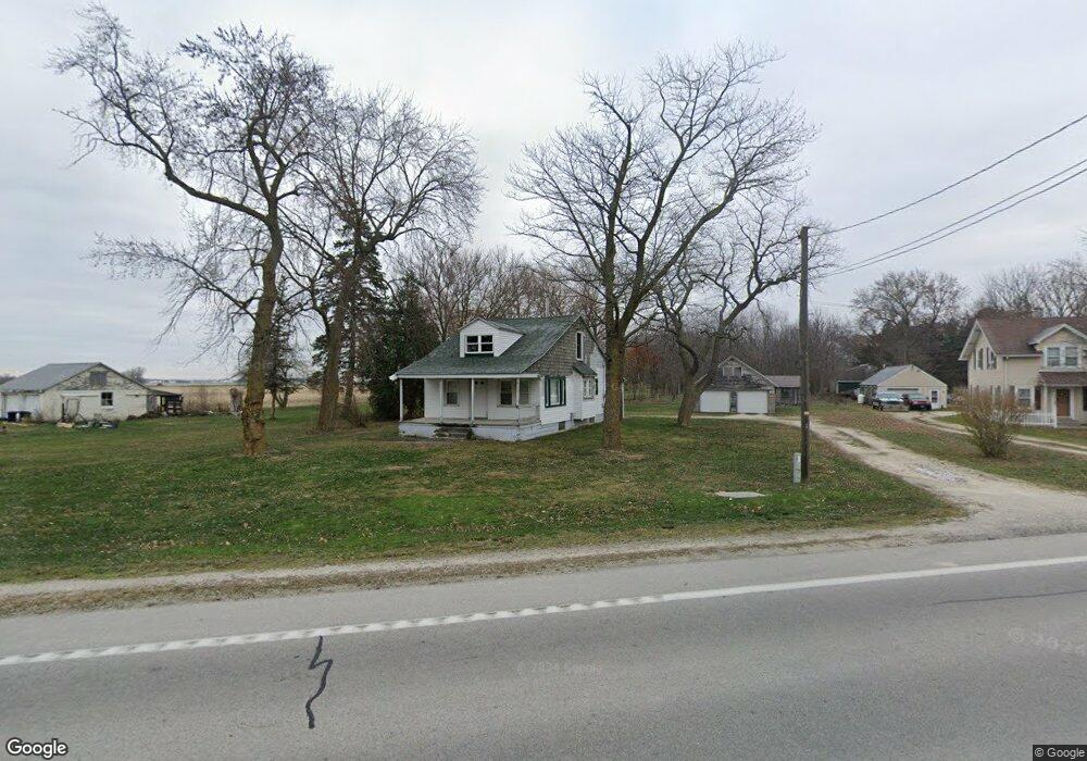
19601 W State Route 51 Elmore, OH 43416
Estimated Value: $90,000 - $246,000
3
Beds
2
Baths
1,277
Sq Ft
$130/Sq Ft
Est. Value
About This Home
This home is located at 19601 W State Route 51, Elmore, OH 43416 and is currently estimated at $166,115, approximately $130 per square foot. 19601 W State Route 51 is a home located in Ottawa County with nearby schools including Woodmore Elementary School, Woodmore Middle School, and Community Christian Academy.
Ownership History
Date
Name
Owned For
Owner Type
Purchase Details
Closed on
Oct 4, 2022
Sold by
Dudrow Judith E
Bought by
Tax Ease Oh V Llc
Current Estimated Value
Purchase Details
Closed on
Dec 16, 2021
Sold by
Dudrow Judith E
Bought by
Tax Ease Oh V Llc
Purchase Details
Closed on
Oct 10, 2018
Sold by
Dudrow Dennis E and Dudrow Judith E
Bought by
Dudrow Judith E
Purchase Details
Closed on
Apr 4, 2007
Sold by
Dudrow Judith E
Bought by
Dudrow Dennis E
Purchase Details
Closed on
Nov 17, 2003
Sold by
Dudrow Donald W and Dudrow Judith E
Bought by
Dudrow Dennis E
Purchase Details
Closed on
Apr 24, 1992
Sold by
Dudrow Irene
Bought by
Dudrow Donald W
Create a Home Valuation Report for This Property
The Home Valuation Report is an in-depth analysis detailing your home's value as well as a comparison with similar homes in the area
Home Values in the Area
Average Home Value in this Area
Purchase History
| Date | Buyer | Sale Price | Title Company |
|---|---|---|---|
| Tax Ease Oh V Llc | $1,734 | -- | |
| Tax Ease Oh V Llc | $3,352 | None Listed On Document | |
| Dudrow Judith E | -- | None Available | |
| Dudrow Dennis E | -- | None Available | |
| Dudrow Dennis E | -- | -- | |
| Dudrow Donald W | -- | -- |
Source: Public Records
Tax History Compared to Growth
Tax History
| Year | Tax Paid | Tax Assessment Tax Assessment Total Assessment is a certain percentage of the fair market value that is determined by local assessors to be the total taxable value of land and additions on the property. | Land | Improvement |
|---|---|---|---|---|
| 2024 | $1,528 | $34,241 | $14,550 | $19,691 |
| 2023 | $1,528 | $26,422 | $10,206 | $16,216 |
| 2022 | $1,360 | $26,422 | $10,206 | $16,216 |
| 2021 | $1,371 | $26,430 | $10,210 | $16,220 |
| 2020 | $1,344 | $24,850 | $9,280 | $15,570 |
| 2019 | $1,328 | $24,850 | $9,280 | $15,570 |
| 2018 | $1,361 | $24,850 | $9,280 | $15,570 |
| 2017 | $1,330 | $26,220 | $9,280 | $16,940 |
| 2016 | $1,368 | $26,220 | $9,280 | $16,940 |
| 2015 | $8,035 | $26,220 | $9,280 | $16,940 |
| 2014 | $6,172 | $26,220 | $9,280 | $16,940 |
| 2013 | $4,291 | $26,220 | $9,280 | $16,940 |
Source: Public Records
Map
Nearby Homes
- 19383 Courtland Ave
- 0 W Portage River Rd S Unit 6130453
- 20240 W Portage River South Rd
- 514 West St
- 207 E 11th St
- 904 Main St
- 1350 N Genoa Clay Center Rd
- 510 Wilson St
- 1861 N Opfer-Lentz Rd
- 1301 West St
- 416 Castle Cove
- 1615 N Thyre Dr
- 22771 W Holt Harrigan Rd
- 212 S Perry St
- 110 E 1st St
- 219 Lime St
- 612 W Main St
- 415 Fort Findlay Rd
- 739 Riverside Dr
- 421 Parklane Dr
- 19621 W State Route 51
- 19583 W State Route 51
- 19630 W State Route 51
- 19595 W State Route 51
- 19580 W State Route 51
- 19550 W State Route 51
- 19590 W State Route 51
- 19520 W State Route 51
- 19520 Ohio 51
- 19383 W Cortland Ave
- 19383 W Cortland Ave
- 19490 W State Route 51
- 19491 W State Route 51
- 19472 W State Route 51
- 20739 W Deno Rd
- 19355 W State Route 51
- 19335 W State Route 51
- 19295 W State Route 51
- 1738 S Opfer Lentz Rd
- 1853 S Opfer Lentz Rd