19605 Mosby Way Poolesville, MD 20837
Estimated Value: $679,000 - $761,000
--
Bed
4
Baths
2,496
Sq Ft
$290/Sq Ft
Est. Value
About This Home
This home is located at 19605 Mosby Way, Poolesville, MD 20837 and is currently estimated at $723,991, approximately $290 per square foot. 19605 Mosby Way is a home located in Montgomery County with nearby schools including Poolesville Elementary School, John H. Poole Middle School, and Poolesville High School.
Ownership History
Date
Name
Owned For
Owner Type
Purchase Details
Closed on
Jul 2, 2001
Sold by
Mccarthy Michael P
Bought by
D'Costa Rex and D'Costa Juanita
Current Estimated Value
Purchase Details
Closed on
Jun 26, 1996
Sold by
Thompson Richard K and Thompson L Thompson E
Bought by
Mccarthy Michael P and Steffen Pamela
Purchase Details
Closed on
Jun 12, 1995
Sold by
Leasure James P
Bought by
Thompson Richard K
Home Financials for this Owner
Home Financials are based on the most recent Mortgage that was taken out on this home.
Original Mortgage
$125,300
Interest Rate
8.21%
Create a Home Valuation Report for This Property
The Home Valuation Report is an in-depth analysis detailing your home's value as well as a comparison with similar homes in the area
Home Values in the Area
Average Home Value in this Area
Purchase History
| Date | Buyer | Sale Price | Title Company |
|---|---|---|---|
| D'Costa Rex | $246,500 | -- | |
| Mccarthy Michael P | $190,000 | -- | |
| Thompson Richard K | $190,000 | -- |
Source: Public Records
Mortgage History
| Date | Status | Borrower | Loan Amount |
|---|---|---|---|
| Previous Owner | Thompson Richard K | $125,300 |
Source: Public Records
Tax History Compared to Growth
Tax History
| Year | Tax Paid | Tax Assessment Tax Assessment Total Assessment is a certain percentage of the fair market value that is determined by local assessors to be the total taxable value of land and additions on the property. | Land | Improvement |
|---|---|---|---|---|
| 2025 | $6,274 | $528,967 | -- | -- |
| 2024 | $6,274 | $485,700 | $192,300 | $293,400 |
| 2023 | $5,178 | $459,633 | $0 | $0 |
| 2022 | $4,677 | $433,567 | $0 | $0 |
| 2021 | $4,338 | $407,500 | $192,300 | $215,200 |
| 2020 | $4,338 | $406,333 | $0 | $0 |
| 2019 | $4,335 | $405,167 | $0 | $0 |
| 2018 | $4,333 | $404,000 | $192,300 | $211,700 |
| 2017 | $4,243 | $390,933 | $0 | $0 |
| 2016 | -- | $377,867 | $0 | $0 |
| 2015 | $3,971 | $364,800 | $0 | $0 |
| 2014 | $3,971 | $364,800 | $0 | $0 |
Source: Public Records
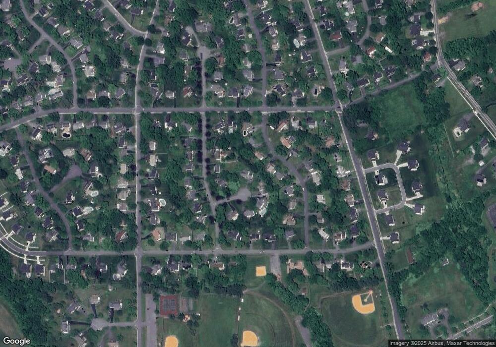
Map
Nearby Homes
- 19624 Westerly Ave
- 17125 Hoskinson Rd
- 17305 Fletchall Rd
- 19808 Westerly Ave
- 19505 Fisher Ave Unit (LOT 1)
- 19507 Fisher Ave Unit (LOT 3)
- 19509 Fisher Ave Unit (LOT 2)
- 17422 Hughes Rd
- 19724 Wootton Ave
- 19916 Westerly Ave
- 19559 Wootton Ave
- 19110 Way
- 17616 Soper St
- The Veranda Plan at Ferry Crossing
- The Terrace Plan at Ferry Crossing
- Breezeway Plan at Ferry Crossing
- The Vermeer Plan at Estates at Hartz Farm
- The Rodin Plan at Estates at Hartz Farm
- The Hamner II Plan at Estates at Hartz Farm
- The Bernini Plan at Estates at Hartz Farm
- 17124 Chiswell Rd
- 19601 Mosby Way
- 17117 Whites Rd
- 17120 Chiswell Rd
- 17113 Whites Rd
- 17128 Chiswell Rd
- 17121 Whites Rd
- 17116 Chiswell Rd
- 19600 Mosby Way
- 17125 Whites Rd
- 19604 Mosby Way
- 19608 Mosby Way
- 17112 Chiswell Rd
- 19620 Westerly Ave
- 17132 Chiswell Rd
- 17125 Chiswell Rd
- 17108 Chiswell Rd
- 17129 Chiswell Rd
- 17121 Chiswell Rd
- 17104 Chiswell Rd