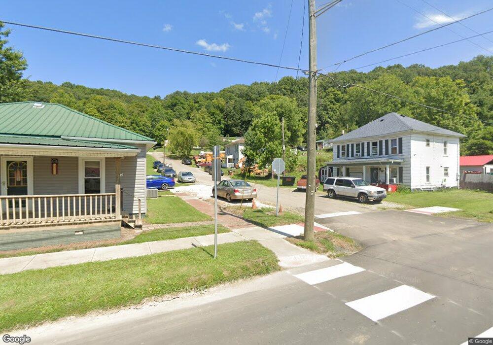
19606 Maple St Glouster, OH 45732
Estimated Value: $24,254 - $97,000
3
Beds
1
Bath
1,148
Sq Ft
$59/Sq Ft
Est. Value
About This Home
This home is located at 19606 Maple St, Glouster, OH 45732 and is currently estimated at $67,564, approximately $58 per square foot. 19606 Maple St is a home located in Athens County with nearby schools including Trimble Elementary School, Trimble Middle School, and Trimble High School.
Ownership History
Date
Name
Owned For
Owner Type
Purchase Details
Closed on
Oct 29, 2015
Sold by
Cunningham Charles H and Cunningham Joyce
Bought by
Palmer Angela
Current Estimated Value
Purchase Details
Closed on
Mar 22, 2011
Sold by
The First National Bank Of Mcconnelsvill
Bought by
Cunningham Charles H
Purchase Details
Closed on
Nov 17, 2010
Sold by
Vickers Roger A and Vickers Tammy
Bought by
The First National Bank Of Mcconelsville
Create a Home Valuation Report for This Property
The Home Valuation Report is an in-depth analysis detailing your home's value as well as a comparison with similar homes in the area
Home Values in the Area
Average Home Value in this Area
Purchase History
| Date | Buyer | Sale Price | Title Company |
|---|---|---|---|
| Palmer Angela | $12,000 | Attorney | |
| Cunningham Charles H | $12,000 | Attorney | |
| The First National Bank Of Mcconelsville | $24,000 | Attorney |
Source: Public Records
Tax History Compared to Growth
Tax History
| Year | Tax Paid | Tax Assessment Tax Assessment Total Assessment is a certain percentage of the fair market value that is determined by local assessors to be the total taxable value of land and additions on the property. | Land | Improvement |
|---|---|---|---|---|
| 2024 | $1,646 | $18,430 | $1,940 | $16,490 |
| 2023 | $1,251 | $18,430 | $1,940 | $16,490 |
| 2022 | $1,171 | $17,410 | $1,770 | $15,640 |
| 2021 | $1,155 | $17,410 | $1,770 | $15,640 |
| 2020 | $1,398 | $17,410 | $1,770 | $15,640 |
| 2019 | $1,124 | $16,000 | $1,570 | $14,430 |
| 2018 | $1,139 | $16,000 | $1,570 | $14,430 |
| 2017 | $1,222 | $16,000 | $1,570 | $14,430 |
| 2016 | $838 | $14,980 | $1,570 | $13,410 |
| 2015 | $1,136 | $14,980 | $1,570 | $13,410 |
| 2014 | $1,136 | $14,980 | $1,570 | $13,410 |
| 2013 | $1,010 | $14,950 | $1,490 | $13,460 |
Source: Public Records
Map
Nearby Homes
- 19500 Lake Dr
- 19477 Center
- 6 E Main St
- 33 S High St
- 88 Front St
- 93 Main St
- 31 Locust St
- 18242 Ohio 13
- 11789 Congress Run Rd
- 140 Sycamore St
- 0 Greens Run Rd
- 0 Red Rock Rd
- Lambert Rd
- 10271 Antle Orchard Rd
- 0 Oregon Ridge Rd Unit 23564746
- 14500 Wolfe Rd
- 16300 Bryson Rd
- 15750 Bryson Rd
- 14494 Keirns Rd
- 13899 Locust St
- 19625 Maple St
- 22 Maple St
- 19605 Maple St
- 19595 Maple St
- 10886 Mason St
- 19458 Congress St
- 38 Congress St
- 10866 Mason St
- 40 Congress St
- 19626 Maple St
- 19408 Congress St
- 19476 Maple
- 19628 Walnut St
- 19588 Walnut St
- 19467 Maple St
- 10846 Mason St
- 19477 Congress St
- 19466 Maple St
- 19607 Walnut St
- 19597 Walnut