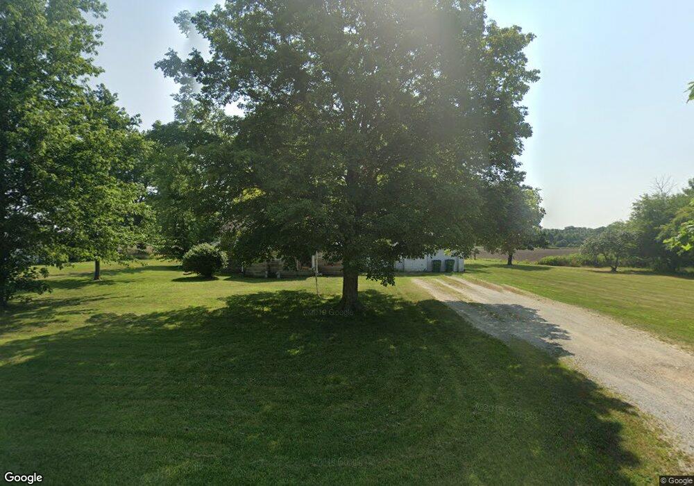
19609 Freemont Moore Rd Sheridan, IN 46069
--
Bed
1
Bath
--
Sq Ft
22.42
Acres
About This Home
This home is located at 19609 Freemont Moore Rd, Sheridan, IN 46069. 19609 Freemont Moore Rd is a home located in Hamilton County with nearby schools including Monon Trail Elementary School, Westfield Intermediate School, and Westfield Middle School.
Ownership History
Date
Name
Owned For
Owner Type
Purchase Details
Closed on
Oct 28, 2025
Sold by
Paul L Wilfong Revocable Trust and Wilfong Paul L
Bought by
Tcg Strategic Holdings Llc
Home Financials for this Owner
Home Financials are based on the most recent Mortgage that was taken out on this home.
Original Mortgage
$562,425
Outstanding Balance
$562,425
Interest Rate
6.26%
Mortgage Type
Seller Take Back
Purchase Details
Closed on
Aug 30, 2022
Sold by
Wilfong Paul L
Bought by
Paul L Wilfong Revocable Trust
Purchase Details
Closed on
Feb 6, 2019
Sold by
Mbw2 Llc
Bought by
Wilfong Paul L
Home Financials for this Owner
Home Financials are based on the most recent Mortgage that was taken out on this home.
Original Mortgage
$348,895
Interest Rate
4.5%
Mortgage Type
Commercial
Purchase Details
Closed on
Oct 30, 2015
Sold by
Curry Lenita J and Harvey Lenita J
Bought by
Mbw2 Llc and Tlh1 Llc
Purchase Details
Closed on
Oct 12, 2015
Sold by
Curry Lenita J and Faiz Alana Harvey
Bought by
Pictor James A and Pictor Amy J
Purchase Details
Closed on
Apr 22, 2014
Sold by
Harvey Horace H and Revo Virginia
Bought by
J & W Farms Llc
Create a Home Valuation Report for This Property
The Home Valuation Report is an in-depth analysis detailing your home's value as well as a comparison with similar homes in the area
Home Values in the Area
Average Home Value in this Area
Purchase History
| Date | Buyer | Sale Price | Title Company |
|---|---|---|---|
| Tcg Strategic Holdings Llc | -- | None Listed On Document | |
| Paul L Wilfong Revocable Trust | -- | -- | |
| Wilfong Paul L | -- | Fidelity National Title Ins Co | |
| Gwin Thomas C | $417,505 | Fidelity National Title Ins Co | |
| Mbw2 Llc | -- | Attorney | |
| Pictor James A | -- | Attorney | |
| J & W Farms Llc | -- | None Available |
Source: Public Records
Mortgage History
| Date | Status | Borrower | Loan Amount |
|---|---|---|---|
| Open | Tcg Strategic Holdings Llc | $562,425 | |
| Previous Owner | Gwin Thomas C | $348,895 |
Source: Public Records
Tax History Compared to Growth
Tax History
| Year | Tax Paid | Tax Assessment Tax Assessment Total Assessment is a certain percentage of the fair market value that is determined by local assessors to be the total taxable value of land and additions on the property. | Land | Improvement |
|---|---|---|---|---|
| 2024 | $314 | $19,200 | $19,200 | -- |
| 2023 | $426 | $16,000 | $16,000 | $0 |
| 2022 | $356 | $12,700 | $12,700 | $0 |
| 2021 | $343 | $10,900 | $10,900 | $0 |
| 2020 | $346 | $10,800 | $10,800 | $0 |
| 2019 | $622 | $22,200 | $22,200 | $0 |
| 2018 | $596 | $22,900 | $22,900 | $0 |
| 2017 | $633 | $26,300 | $26,300 | $0 |
| 2016 | $1,311 | $27,800 | $27,800 | $0 |
| 2014 | $3,667 | $221,200 | $136,800 | $84,400 |
| 2013 | $3,667 | $205,500 | $120,900 | $84,600 |
Source: Public Records
Map
Nearby Homes
- 19855 Freemont Moore (Residential) Rd
- 19975 Freemont Moore (Land) Rd
- 19975 & 19855 Freemont Moore (Package) Rd
- 1335 Mahoning Rd
- Bradford Plan at Atwater - Paired Villas
- V-1653 Adagio Plan at Atwater - Single Family Villas
- V-1443 Sonata Plan at Atwater - Single Family Villas
- V-1776 Harmony Plan at Atwater - Single Family Villas
- S-3142-3 Willow Plan at Atwater - Single Family Homes
- D-1515-2 Cordoba Plan at Atwater - Paired Villas
- S-2444-3 Sedona Plan at Atwater - Single Family Homes
- S-2182-3 Lakewood Plan at Atwater - Single Family Homes
- S-2397-2 Olympia Plan at Atwater - Single Family Homes
- S-2353-3 Aspen Plan at Atwater - Single Family Homes
- S-2820-3 Rowan Plan at Atwater - Single Family Homes
- D-1532-2 Brighton Plan at Atwater - Paired Villas
- 19644 Atwater Ave
- 19774 Highclere Ln
- 19749 Highclere Ln
- 19761 Highclere Ln
- 19616 Freemont Moore Rd
- 19648 Freemont Moore Rd
- 19401 Freemont Moore Rd
- 19855 Freemont Moore Rd
- 19347 Freemont Moore Rd
- 19345 Freemont Moore Rd
- 1524 W 193rd St
- 1524 W 193rd St
- 1470 W 193rd St
- 19664 Atwater Ave
- 19644 Atwater Ave Unit 37861690
- 19644 Atwater Ave Unit 37861653
- 1306 W 193rd St
- 1801 W 193rd St
- 1819 W 193rd St
- 1299 Mahoning Rd
- 1920 W 193rd St
- 19690 Highclere Ln
- 19666 Highclere Ln
- 19654 Highclere Ln