19609 N 96th Ln Unit 37 Peoria, AZ 85382
Estimated Value: $385,608 - $410,000
2
Beds
2
Baths
1,402
Sq Ft
$283/Sq Ft
Est. Value
About This Home
This home is located at 19609 N 96th Ln Unit 37, Peoria, AZ 85382 and is currently estimated at $397,152, approximately $283 per square foot. 19609 N 96th Ln Unit 37 is a home located in Maricopa County with nearby schools including Apache Elementary School, Sunrise Mountain High School, and Sonoran Science Academy-Peoria.
Ownership History
Date
Name
Owned For
Owner Type
Purchase Details
Closed on
Dec 18, 2019
Sold by
White Raymond E and Whte Marian L
Bought by
White Steven E and White Deborah K Lyons
Current Estimated Value
Purchase Details
Closed on
Jun 26, 2018
Sold by
Ureei Craig M and Ureei Kathleen A
Bought by
White Raymond E and White Marian L
Purchase Details
Closed on
Apr 8, 2008
Sold by
Bettis K Sonia
Bought by
Ureel Craig M and Ureel Kathleen A
Home Financials for this Owner
Home Financials are based on the most recent Mortgage that was taken out on this home.
Original Mortgage
$184,000
Interest Rate
6.05%
Mortgage Type
New Conventional
Create a Home Valuation Report for This Property
The Home Valuation Report is an in-depth analysis detailing your home's value as well as a comparison with similar homes in the area
Home Values in the Area
Average Home Value in this Area
Purchase History
| Date | Buyer | Sale Price | Title Company |
|---|---|---|---|
| White Steven E | -- | None Available | |
| White Raymond E | $324,900 | First American Title Insuran | |
| Ureel Craig M | $230,000 | First American Title Ins Co |
Source: Public Records
Mortgage History
| Date | Status | Borrower | Loan Amount |
|---|---|---|---|
| Previous Owner | Ureel Craig M | $184,000 |
Source: Public Records
Tax History Compared to Growth
Tax History
| Year | Tax Paid | Tax Assessment Tax Assessment Total Assessment is a certain percentage of the fair market value that is determined by local assessors to be the total taxable value of land and additions on the property. | Land | Improvement |
|---|---|---|---|---|
| 2025 | $1,972 | $25,328 | -- | -- |
| 2024 | $1,942 | $24,122 | -- | -- |
| 2023 | $1,942 | $30,430 | $6,080 | $24,350 |
| 2022 | $1,902 | $25,410 | $5,080 | $20,330 |
| 2021 | $2,036 | $24,670 | $4,930 | $19,740 |
| 2020 | $2,055 | $22,750 | $4,550 | $18,200 |
| 2019 | $1,988 | $19,480 | $3,890 | $15,590 |
| 2018 | $2,257 | $18,000 | $3,600 | $14,400 |
| 2017 | $2,312 | $17,610 | $3,520 | $14,090 |
| 2016 | $2,285 | $17,000 | $3,400 | $13,600 |
| 2015 | $2,126 | $16,500 | $3,300 | $13,200 |
Source: Public Records
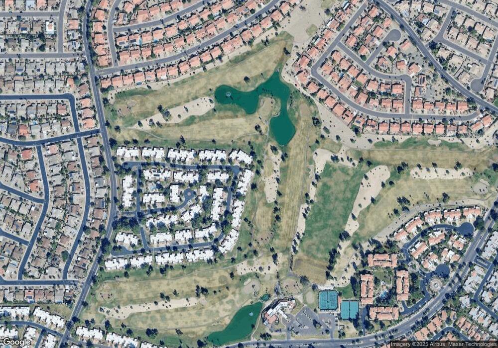
Map
Nearby Homes
- 19562 N 96th Ln Unit 80
- 9704 W Tonto Ln
- 9706 W Rimrock Dr Unit 95
- 9708 W Rimrock Dr Unit 96
- 9455 W Behrend Dr
- 19400 N Westbrook Pkwy Unit 220
- 19400 N Westbrook Pkwy Unit 216
- 19400 N Westbrook Pkwy Unit 121
- 19400 N Westbrook Pkwy Unit 241
- 19420 N Westbrook Pkwy Unit 502
- 9551 W Sierra Pinta Dr
- 9734 W Kerry Ln Unit 14
- 9832 W Behrend Dr
- 9727 W Kerry Ln
- 9622 W Taro Ln
- 9646 W Taro Ln
- 9627 W Menadota Dr
- 19702 N 98th Ln
- 9839 W Utopia Rd
- 9856 W Rimrock Dr
- 19607 N 96th Ln Unit 36
- 19605 N 96th Ln
- 9610 W Tonto Ln
- 9612 W Tonto Ln
- 19603 N 96th Ln
- 9614 W Tonto Ln
- 19601 N 96th Ln Unit 33
- 9621 W Tonto Ln Unit 79
- 9623 W Tonto Ln Unit 78
- 9620 W Tonto Ln
- 19559 N 96th Ln Unit 32
- 9625 W Tonto Ln Unit 77
- 9622 W Tonto Ln Unit 43
- 19557 N 96th Ln
- 19560 N 96th Ln
- 9624 W Tonto Ln Unit 44
- 19558 N 96th Ln
- 19555 N 96th Ln Unit 30
- 9626 W Tonto Ln
- 19556 N 96th Ln