Estimated Value: $390,704 - $602,000
Studio
1
Bath
--
Sq Ft
16,553
Sq Ft Lot
About This Home
This home is located at 1961 79th St, Luck, WI 54853 and is currently estimated at $489,926. 1961 79th St is a home located in Polk County with nearby schools including Unity Elementary School, Unity Middle School, and Unity High School.
Ownership History
Date
Name
Owned For
Owner Type
Purchase Details
Closed on
Apr 27, 2018
Sold by
Jenkins David L and Jenkins Lori L
Bought by
Fjerstad Matthew and Fjerstad Rachel
Current Estimated Value
Home Financials for this Owner
Home Financials are based on the most recent Mortgage that was taken out on this home.
Original Mortgage
$240,000
Outstanding Balance
$204,611
Interest Rate
4.44%
Mortgage Type
New Conventional
Estimated Equity
$285,315
Purchase Details
Closed on
Sep 28, 2005
Sold by
Grant Keyin J and Grant Dayna J
Bought by
Jenkins Lori L and Jenkins David L
Create a Home Valuation Report for This Property
The Home Valuation Report is an in-depth analysis detailing your home's value as well as a comparison with similar homes in the area
Purchase History
| Date | Buyer | Sale Price | Title Company |
|---|---|---|---|
| Fjerstad Matthew | $340,000 | Polk County Abstract | |
| Jenkins Lori L | $280,000 | -- |
Source: Public Records
Mortgage History
| Date | Status | Borrower | Loan Amount |
|---|---|---|---|
| Open | Fjerstad Matthew | $240,000 |
Source: Public Records
Tax History
| Year | Tax Paid | Tax Assessment Tax Assessment Total Assessment is a certain percentage of the fair market value that is determined by local assessors to be the total taxable value of land and additions on the property. | Land | Improvement |
|---|---|---|---|---|
| 2025 | $3,344 | $389,800 | $135,200 | $254,600 |
| 2024 | $3,249 | $389,800 | $135,200 | $254,600 |
| 2023 | $3,887 | $363,800 | $163,800 | $200,000 |
| 2022 | $5,547 | $362,400 | $175,500 | $186,900 |
| 2021 | $4,154 | $251,700 | $102,900 | $148,800 |
| 2020 | $4,055 | $251,700 | $102,900 | $148,800 |
| 2019 | $3,896 | $251,700 | $102,900 | $148,800 |
| 2018 | $4,618 | $251,700 | $102,900 | $148,800 |
| 2017 | $4,011 | $251,700 | $102,900 | $148,800 |
| 2016 | $4,155 | $251,700 | $102,900 | $148,800 |
| 2015 | $4,131 | $251,700 | $102,900 | $148,800 |
| 2013 | $4,256 | $265,200 | $102,900 | $162,300 |
| 2012 | $4,133 | $256,200 | $102,900 | $153,300 |
Source: Public Records
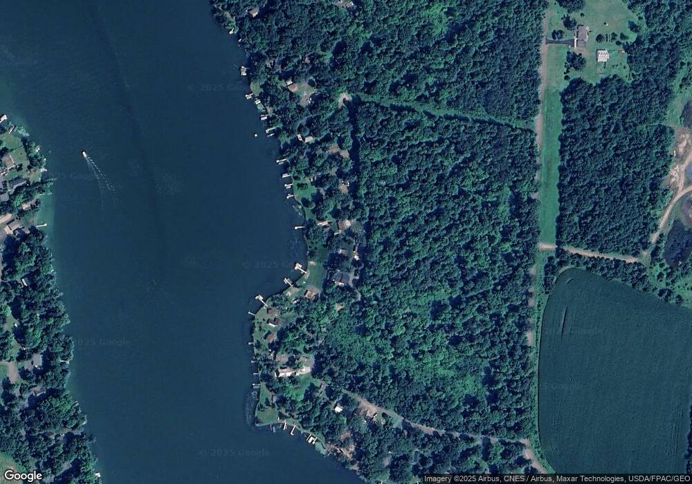
Map
Nearby Homes
- Xxx 74th St
- 1958 Little Blake Lake Ln
- 2031 Richardson Ct
- 1733 E White Ash Ln
- 2152 E Round Lake Ln
- Lot 113 162nd Ave
- 2262 99th St
- 1891 Breezy Bay Rd
- 1058 236th Ave
- 1075 237th Ave
- 2368 109th St
- 2382 106th St
- TBD Dau Rd
- 0 240th Ave Unit 1597714
- 0 240th Ave Unit 25970093
- 323 220th Ave
- 2036C 135th St Unit C
- 1581 50th St
- 589 248th Ave
- tbd 170th Ave
- 1959 E Blake Lake Ct Unit A
- 1943 79th St
- 1961 E Blake Lake Ct
- 1957 E Blake Lake Ct
- 1945 E 79th St
- 1947 E 79th St
- 1955 E Blake Lake Ct
- 1957 1957 E Blake Lake-Court-
- 1949 E 79th St
- 1965 E Blake Lake Ct
- 1973 79th St
- 770 E 194th Ave
- 1953 E 79th St
- 1965A E Blake Lake Ct
- 1967 E Blake Lake Ct
- 1953 E Blake Lake Ct
- 1953 E Blake Lake Ct
- XXXX E Blake Lake Ct
- 1957A E Blake Lake Ct
- 1971B E Blake Lake Ct
Your Personal Tour Guide
Ask me questions while you tour the home.