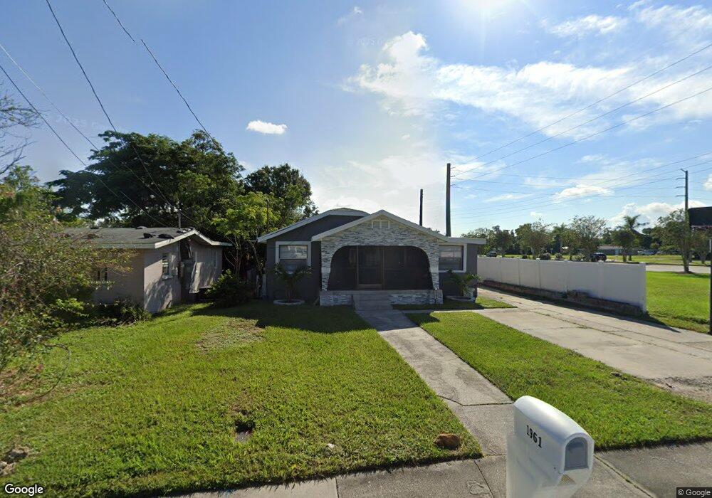
1961 High St Fort Myers, FL 33916
East Fort Myers NeighborhoodEstimated Value: $175,551 - $247,000
2
Beds
1
Bath
1,302
Sq Ft
$155/Sq Ft
Est. Value
About This Home
This home is located at 1961 High St, Fort Myers, FL 33916 and is currently estimated at $202,138, approximately $155 per square foot. 1961 High St is a home located in Lee County with nearby schools including Edison Park Creative & Expressive Arts School, Allen Park Elementary School, and Orangewood Elementary School.
Ownership History
Date
Name
Owned For
Owner Type
Purchase Details
Closed on
Jul 17, 1996
Sold by
Wallace Willa D
Bought by
Wallace Willa D
Current Estimated Value
Purchase Details
Closed on
Dec 13, 1994
Sold by
Smith James C and Smith Laura A
Bought by
Smith James C
Purchase Details
Closed on
Sep 17, 1993
Sold by
S Fl Bk
Bought by
Wallace Willa D
Purchase Details
Closed on
Aug 24, 1993
Sold by
Sheriff Lee Cty
Bought by
S Fl Bk
Create a Home Valuation Report for This Property
The Home Valuation Report is an in-depth analysis detailing your home's value as well as a comparison with similar homes in the area
Home Values in the Area
Average Home Value in this Area
Purchase History
| Date | Buyer | Sale Price | Title Company |
|---|---|---|---|
| Wallace Willa D | -- | -- | |
| Smith James C | -- | -- | |
| Wallace Willa D | $1,000 | -- | |
| S Fl Bk | $1,100 | -- |
Source: Public Records
Tax History Compared to Growth
Tax History
| Year | Tax Paid | Tax Assessment Tax Assessment Total Assessment is a certain percentage of the fair market value that is determined by local assessors to be the total taxable value of land and additions on the property. | Land | Improvement |
|---|---|---|---|---|
| 2025 | $2,570 | $146,422 | $20,672 | $109,278 |
| 2024 | $2,570 | $159,830 | $15,259 | $126,099 |
| 2023 | $2,056 | $61,024 | $0 | $0 |
| 2022 | $1,823 | $55,476 | $0 | $0 |
| 2021 | $1,610 | $83,398 | $10,337 | $73,061 |
| 2020 | $1,387 | $67,832 | $4,450 | $63,382 |
| 2019 | $1,301 | $60,562 | $3,200 | $57,362 |
| 2018 | $1,202 | $48,448 | $3,200 | $45,248 |
| 2017 | $1,105 | $40,378 | $4,000 | $36,378 |
| 2016 | $1,012 | $33,173 | $4,131 | $29,042 |
| 2015 | $959 | $29,606 | $2,273 | $27,333 |
| 2014 | $805 | $25,606 | $2,252 | $23,354 |
| 2013 | -- | $27,002 | $2,914 | $24,088 |
Source: Public Records
Map
Nearby Homes
- 1948 Lillie St
- 1938 Lillie St
- 2992 Douglas Ave
- 1861 Lillie St
- 2965 Lincoln Blvd
- 2012 Wright St
- 2032-2040 Wright St
- 1905 Knight St
- 2849 Price Ave
- 2984 Lincoln Blvd
- 1958 Knight St
- 3043 Dunbar Ave
- 2924 Dunbar St
- 3147 Economy St
- 2748 Orange St
- 2726 Dr Martin Luther King Blvd N
- 2810 Dunbar Ave
- Lots 19 & 20 Thomas St
- Lots 21 & 22 Thomas St
- 3227 Dale St
- 1955 High St
- 3011 Dr Martin Luther King Blvd
- 3011 Doctor Martin Luther King Junior Blvd
- 1958 High St
- 1960 Pauldo St
- 1949 High St
- 1966 High St
- 1960 High St
- 1935 High St
- 2967 Dr Martin Luther King Blvd
- 1934 Pauldo St
- 1946 High St
- 1961 Pauldo St
- 1955 Pauldo St
- 1928 Pauldo St
- 1934 High St Unit 6
- 1934 High St
- 1923 High St
- 1935 Pauldo St
- 1928 High St