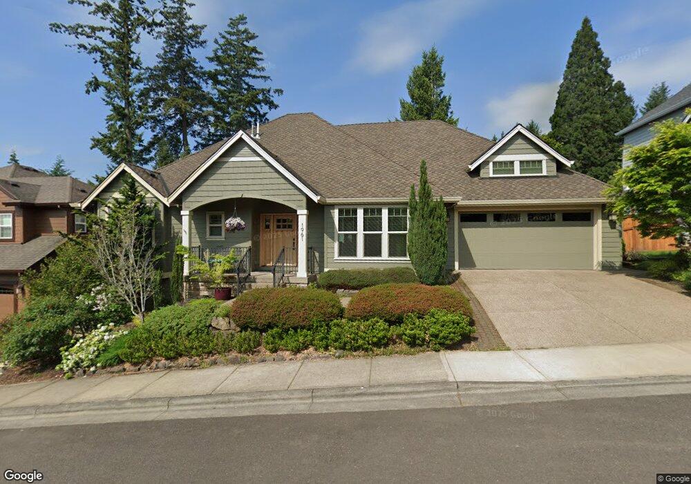
1961 NW 114th Ave Portland, OR 97229
Estimated Value: $875,000 - $956,000
3
Beds
3
Baths
1,961
Sq Ft
$461/Sq Ft
Est. Value
About This Home
This home is located at 1961 NW 114th Ave, Portland, OR 97229 and is currently estimated at $903,447, approximately $460 per square foot. 1961 NW 114th Ave is a home located in Washington County with nearby schools including Cedar Mill Elementary School, Sunset High School, and St. Pius X. School.
Ownership History
Date
Name
Owned For
Owner Type
Purchase Details
Closed on
Feb 12, 2021
Sold by
Mcadams David L and Mcadams Carole M
Bought by
Mcadams David L and Mcadams Carole M
Current Estimated Value
Purchase Details
Closed on
Jul 29, 2010
Sold by
Mike Campbell Development Co Inc
Bought by
Mcadams David L and Mcadams Carole M
Home Financials for this Owner
Home Financials are based on the most recent Mortgage that was taken out on this home.
Original Mortgage
$275,000
Outstanding Balance
$183,722
Interest Rate
4.75%
Mortgage Type
Construction
Estimated Equity
$719,725
Create a Home Valuation Report for This Property
The Home Valuation Report is an in-depth analysis detailing your home's value as well as a comparison with similar homes in the area
Home Values in the Area
Average Home Value in this Area
Purchase History
| Date | Buyer | Sale Price | Title Company |
|---|---|---|---|
| Mcadams David L | -- | None Available | |
| Mcadams David L | -- | None Available | |
| Mcadams David L | $163,000 | Ticor Title |
Source: Public Records
Mortgage History
| Date | Status | Borrower | Loan Amount |
|---|---|---|---|
| Open | Mcadams David L | $275,000 |
Source: Public Records
Tax History Compared to Growth
Tax History
| Year | Tax Paid | Tax Assessment Tax Assessment Total Assessment is a certain percentage of the fair market value that is determined by local assessors to be the total taxable value of land and additions on the property. | Land | Improvement |
|---|---|---|---|---|
| 2025 | $10,714 | $584,580 | -- | -- |
| 2024 | $10,043 | $567,560 | -- | -- |
| 2023 | $10,043 | $551,030 | $0 | $0 |
| 2022 | $9,710 | $551,030 | $0 | $0 |
| 2021 | $9,360 | $519,410 | $0 | $0 |
| 2020 | $9,074 | $504,290 | $0 | $0 |
| 2019 | $8,767 | $489,610 | $0 | $0 |
| 2018 | $8,483 | $475,350 | $0 | $0 |
| 2017 | $8,176 | $461,510 | $0 | $0 |
| 2016 | $7,883 | $448,070 | $0 | $0 |
| 2015 | $7,707 | $435,020 | $0 | $0 |
| 2014 | $7,434 | $422,350 | $0 | $0 |
Source: Public Records
Map
Nearby Homes
- 11535 NW Jericho Rd
- 11428 NW Chloe Ln
- 2010 NW 119th Ave
- 11367 NW Odeon Ln
- 1670 NW 119th Ave
- 11542 NW Kearney St
- 10670 NW La Cassel Crest Ln
- 11416 NW Elise Ln
- 2570 NW 108th Terrace
- 2876 NW 114th Terrace
- 12170 NW Marshall St
- 12274 NW Coleman Dr
- 2845 NW 114th Terrace
- 11535 NW Mcdaniel Rd
- 2945 NW Grace Terrace
- 794 NW 118th Ave Unit 101
- 1531 NW Morgan Ln
- 806 NW 118th Ave Unit 103
- 10478 NW Forestview Way
- 10541 NW Jordan Ln
- 1939 NW 114th Ave
- 1983 NW 114th Ave
- 11537 NW Damascus St
- 11541 NW Damascus St
- 1966 NW 114th Ave
- 1944 NW 114th Ave
- 1917 NW 114th Ave
- 1922 NW 114th Ave
- 11539 NW Damascus St
- 11485 NW Damascus St
- 11422 NW Post Ln
- 2041 NW 114th Ave
- 11388 NW Post Ln
- 11372 NW Post Ln
- 11355 NW Damascus St
- 11543 NW Damascus St
- 0 NW Damascus St Unit 171625
- 0 NW Damascus St Unit 172665
- 1975 NW 113th Ave