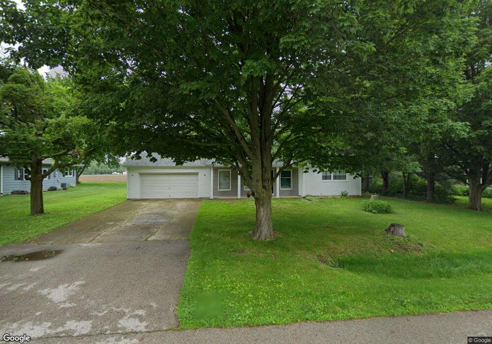
1961 Rivers Dr Sycamore, IL 60178
Estimated Value: $204,000 - $280,000
3
Beds
1
Bath
1,100
Sq Ft
$221/Sq Ft
Est. Value
About This Home
This home is located at 1961 Rivers Dr, Sycamore, IL 60178 and is currently estimated at $243,354, approximately $221 per square foot. 1961 Rivers Dr is a home located in DeKalb County with nearby schools including Sycamore High School, Cornerstone Christian Academy, and St Mary's Catholic School.
Ownership History
Date
Name
Owned For
Owner Type
Purchase Details
Closed on
May 6, 2021
Sold by
Debenedictis Dawn
Bought by
Rehberg Mitchell W
Current Estimated Value
Purchase Details
Closed on
Jun 11, 2019
Sold by
Renberg Mitchell
Bought by
Debenedirtis Dawn
Purchase Details
Closed on
May 24, 2017
Sold by
Fannie Mae
Bought by
Renberg Mitchell
Purchase Details
Closed on
Mar 20, 2017
Sold by
Dekalb County Sheriff
Bought by
Federal National Mortgage Association
Create a Home Valuation Report for This Property
The Home Valuation Report is an in-depth analysis detailing your home's value as well as a comparison with similar homes in the area
Home Values in the Area
Average Home Value in this Area
Purchase History
| Date | Buyer | Sale Price | Title Company |
|---|---|---|---|
| Rehberg Mitchell W | -- | None Available | |
| Debenedirtis Dawn | -- | None Available | |
| Renberg Mitchell | -- | First American Title | |
| Federal National Mortgage Association | $92,700 | -- |
Source: Public Records
Tax History Compared to Growth
Tax History
| Year | Tax Paid | Tax Assessment Tax Assessment Total Assessment is a certain percentage of the fair market value that is determined by local assessors to be the total taxable value of land and additions on the property. | Land | Improvement |
|---|---|---|---|---|
| 2024 | $4,704 | $65,638 | $13,347 | $52,291 |
| 2023 | $4,704 | $59,938 | $12,188 | $47,750 |
| 2022 | $4,704 | $54,974 | $11,179 | $43,795 |
| 2021 | $4,249 | $51,609 | $10,495 | $41,114 |
| 2020 | $4,641 | $50,340 | $10,237 | $40,103 |
| 2019 | $4,006 | $49,237 | $10,013 | $39,224 |
| 2018 | $3,923 | $47,743 | $9,709 | $38,034 |
| 2017 | $4,387 | $45,854 | $9,325 | $36,529 |
| 2016 | $3,705 | $43,763 | $8,900 | $34,863 |
| 2015 | -- | $41,188 | $8,376 | $32,812 |
| 2014 | -- | $39,112 | $7,954 | $31,158 |
| 2013 | -- | $39,861 | $8,106 | $31,755 |
Source: Public Records
Map
Nearby Homes
- 24 Kloe Ln Unit 24
- Rt 23 and Plank Rd Rt 23 and Plank Rd Rd
- 711 Independence Ave
- 1132 Swanberg Ct
- 1417 Sandcastle Dr
- 1308 Axcel Ln
- Hickory Terrace Plan at Hickory Terrace Independent Living
- 700 Susan St
- 918 Janet St
- Lot43 Heron Creek Es Letha Westgate Dr
- 565 Clayton Cir
- 540 Clayton Cir
- 561 Stonegate Dr Unit 10B1
- 516 Clayton Cir
- 361 Merry Oaks Dr
- Lot 86 Merry Oaks Dr
- Lot 97 Merry Oaks Dr
- 2203 Wickford Ln
- 1340 N Main St
- 13 Briden Ln Unit 13