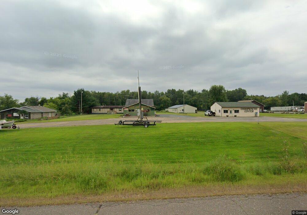
1961 Us Highway 8 Saint Croix Falls, WI 54024
Estimated Value: $616,649
--
Bed
--
Bath
6,000
Sq Ft
$103/Sq Ft
Est. Value
About This Home
This home is located at 1961 Us Highway 8, Saint Croix Falls, WI 54024 and is currently estimated at $616,649, approximately $102 per square foot. 1961 Us Highway 8 is a home located in Polk County with nearby schools including Saint Croix Falls Elementary School, Dresser Elementary School, and Saint Croix Falls Middle School.
Ownership History
Date
Name
Owned For
Owner Type
Purchase Details
Closed on
Jan 6, 2023
Sold by
Star Prairie Property Investments Llc
Bought by
Not Justa Bar & Cafe Inc
Current Estimated Value
Purchase Details
Closed on
Nov 22, 2005
Sold by
Wtg Investments Llc
Bought by
Star Prairie Property Investments Llc
Purchase Details
Closed on
Aug 22, 2005
Sold by
Greenlee Rebecca E
Bought by
Wtg Investments
Create a Home Valuation Report for This Property
The Home Valuation Report is an in-depth analysis detailing your home's value as well as a comparison with similar homes in the area
Home Values in the Area
Average Home Value in this Area
Purchase History
| Date | Buyer | Sale Price | Title Company |
|---|---|---|---|
| Not Justa Bar & Cafe Inc | $503,500 | Polk County Abstract | |
| Star Prairie Property Investments Llc | $450,000 | -- | |
| Wtg Investments | $900,000 | -- |
Source: Public Records
Tax History Compared to Growth
Tax History
| Year | Tax Paid | Tax Assessment Tax Assessment Total Assessment is a certain percentage of the fair market value that is determined by local assessors to be the total taxable value of land and additions on the property. | Land | Improvement |
|---|---|---|---|---|
| 2024 | $5,201 | $392,900 | $235,000 | $157,900 |
| 2023 | $5,514 | $392,900 | $235,000 | $157,900 |
| 2022 | $5,075 | $392,900 | $235,000 | $157,900 |
| 2021 | $17,391 | $896,000 | $220,000 | $676,000 |
| 2020 | $16,298 | $896,000 | $220,000 | $676,000 |
| 2019 | $16,046 | $896,000 | $220,000 | $676,000 |
| 2018 | $17,334 | $896,000 | $220,000 | $676,000 |
| 2017 | $14,795 | $896,000 | $220,000 | $676,000 |
| 2016 | $14,431 | $896,000 | $220,000 | $676,000 |
| 2015 | $15,919 | $891,600 | $312,000 | $579,600 |
| 2013 | $16,270 | $891,600 | $312,000 | $579,600 |
| 2012 | $16,470 | $891,600 | $312,000 | $579,600 |
Source: Public Records
Map
Nearby Homes
- 1334 186th St
- 1312 186th St
- 1155 200th St
- 2084 120th Ave
- 475 Lookout Ln
- 414 Knollwood Ave
- 1751 and 1749 133rd Ave
- 1337 E Aspen Dr
- 1333 E Aspen Dr
- 1334 E Aspen Dr
- 1329 E Aspen Dr
- 2031 Reuss Pkwy
- 1321 E Aspen Dr
- 1317 E Aspen Dr
- 1319 Woodale Ct
- 1309 E Aspen Dr
- 1315 Green Tree Dr
- 1305 E Aspen Dr
- 1301 Aspen Dr
- 447 Woodale Ave
- 0 Us Highway 8
- 000 Us Highway 8
- 1964 Us Highway 8
- 1964 U S Hwy 8
- 1971 Us Highway 8
- 1971 Us Highway 8
- 1971 Us Highway 8
- XX U S Highway 8
- XXX Us Hwy 8
- 1942 Us Highway 8
- 1934 Us Highway 8
- 1294 198th St
- 1978 Us Highway 8
- 1978 Us Highway 8
- 1980 Us Highway 8
- 1982 Us Highway 8
- 1982 Us Highway 8
- 1984 Us Highway 8
- 1284 198th St
- 1983 Us Highway 8