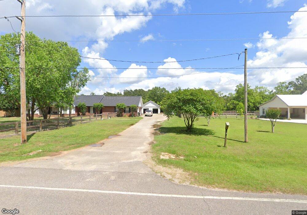
19610 Lawrence Rd Fairhope, AL 36532
Estimated Value: $326,000 - $357,295
3
Beds
3
Baths
1,742
Sq Ft
$196/Sq Ft
Est. Value
About This Home
This home is located at 19610 Lawrence Rd, Fairhope, AL 36532 and is currently estimated at $341,824, approximately $196 per square foot. 19610 Lawrence Rd is a home located in Baldwin County with nearby schools including J. Larry Newton School, Fairhope Middle School, and Fairhope High School.
Ownership History
Date
Name
Owned For
Owner Type
Purchase Details
Closed on
Feb 18, 2020
Sold by
Aldridge Kimberly Claire and Shipman Nancy Jean
Bought by
Deslonde Bonnie H and Shipman Olivia
Current Estimated Value
Home Financials for this Owner
Home Financials are based on the most recent Mortgage that was taken out on this home.
Original Mortgage
$194,118
Outstanding Balance
$173,935
Interest Rate
4.25%
Mortgage Type
FHA
Estimated Equity
$167,889
Purchase Details
Closed on
Dec 13, 2007
Sold by
Shipman Duane A
Bought by
Aldridge Kimberly Claire and Shipman Nancy Jean
Create a Home Valuation Report for This Property
The Home Valuation Report is an in-depth analysis detailing your home's value as well as a comparison with similar homes in the area
Home Values in the Area
Average Home Value in this Area
Purchase History
| Date | Buyer | Sale Price | Title Company |
|---|---|---|---|
| Deslonde Bonnie H | $197,700 | None Available | |
| Aldridge Kimberly Claire | -- | None Available |
Source: Public Records
Mortgage History
| Date | Status | Borrower | Loan Amount |
|---|---|---|---|
| Open | Deslonde Bonnie H | $194,118 |
Source: Public Records
Tax History Compared to Growth
Tax History
| Year | Tax Paid | Tax Assessment Tax Assessment Total Assessment is a certain percentage of the fair market value that is determined by local assessors to be the total taxable value of land and additions on the property. | Land | Improvement |
|---|---|---|---|---|
| 2024 | $939 | $29,980 | $9,060 | $20,920 |
| 2023 | $823 | $26,560 | $8,020 | $18,540 |
| 2022 | $650 | $20,960 | $0 | $0 |
| 2021 | $590 | $19,040 | $0 | $0 |
| 2020 | $564 | $18,180 | $0 | $0 |
| 2019 | $454 | $16,220 | $0 | $0 |
| 2018 | $439 | $15,680 | $0 | $0 |
| 2017 | $424 | $15,140 | $0 | $0 |
| 2016 | $403 | $14,380 | $0 | $0 |
| 2015 | $291 | $14,440 | $0 | $0 |
| 2014 | $268 | $13,340 | $0 | $0 |
| 2013 | -- | $13,300 | $0 | $0 |
Source: Public Records
Map
Nearby Homes
- 10929 Covey Dr
- 10895 Covey Dr
- 19740 Bunker Loop
- 19741 Bunker Loop
- 0 Bunker Loop Unit 302 373908
- 10832 Mashie Ln
- 19116 Quail Creek Dr
- 20011 Lawrence Rd
- 19721 Hunters Loop
- 112 Lake Ridge Dr
- 19876 Hunters Loop
- 302 Lake Ridge Dr
- 0 S Tee Dr Unit 157
- 19520 Gunnison Rd
- 11571 Red Barn Rd
- 133 Club Dr
- 294 Hudson Loop
- 293 Hudson Loop
- 290 Hudson Loop
- 286 Hudson Loop
- 19648 Lawrence Rd
- 19590 Lawrence Rd
- 10981 Covey Dr
- 19550 Lawrence Rd
- 10980 Covey Dr
- 10963 Covey Dr
- 19675 Lawrence Rd
- 10947 Covey Dr
- 1 Covey Dr
- 10946 Covey Dr
- 10959 Driver Ct
- 19540 Lawrence Rd
- 10928 Covey Dr
- 10951 Driver Ct
- 10960 Driver Ct
- 10911 Covey Dr
- 19739 Lawrence Rd
- 0 Covey Dr Unit 330470
- 11111 Lawrence Road Extension
- 19316 Quail Creek Dr