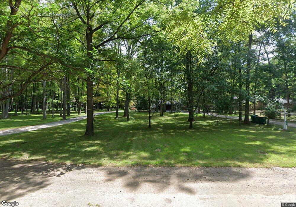
19611 Clark Rd Unit Bldg-Unit Belleville, MI 48111
Estimated Value: $379,000 - $388,308
Studio
2
Baths
1,584
Sq Ft
$242/Sq Ft
Est. Value
About This Home
This home is located at 19611 Clark Rd Unit Bldg-Unit, Belleville, MI 48111 and is currently estimated at $384,077, approximately $242 per square foot. 19611 Clark Rd Unit Bldg-Unit is a home located in Wayne County with nearby schools including Huron High School, St. Stephen Catholic School, and St John's Lutheran School.
Ownership History
Date
Name
Owned For
Owner Type
Purchase Details
Closed on
Nov 13, 2023
Sold by
Miller Terry R
Bought by
Courtney Stephen and Courtney Emily
Current Estimated Value
Purchase Details
Closed on
Sep 20, 2008
Sold by
Troell Sandra K
Bought by
Miller Julie A
Purchase Details
Closed on
Apr 23, 2004
Sold by
Miller Sonja D
Bought by
Miller Terry R
Purchase Details
Closed on
Feb 19, 2004
Sold by
Powaser Joseph T and Powaser Joan K
Bought by
Miller Terry R
Create a Home Valuation Report for This Property
The Home Valuation Report is an in-depth analysis detailing your home's value as well as a comparison with similar homes in the area
Home Values in the Area
Average Home Value in this Area
Purchase History
| Date | Buyer | Sale Price | Title Company |
|---|---|---|---|
| Courtney Stephen | $350,000 | Liberty Title | |
| Miller Julie A | -- | None Available | |
| Miller Terry R | -- | First American Title Ins Co | |
| Miller Terry R | $240,000 | Multiple |
Source: Public Records
Tax History
| Year | Tax Paid | Tax Assessment Tax Assessment Total Assessment is a certain percentage of the fair market value that is determined by local assessors to be the total taxable value of land and additions on the property. | Land | Improvement |
|---|---|---|---|---|
| 2025 | $5,136 | $148,300 | $0 | $0 |
| 2024 | $5,136 | $138,900 | $0 | $0 |
| 2023 | $3,484 | $133,800 | $0 | $0 |
| 2022 | $4,885 | $157,100 | $0 | $0 |
| 2021 | $3,288 | $141,600 | $0 | $0 |
| 2020 | $3,244 | $130,400 | $0 | $0 |
| 2019 | $3,095 | $116,600 | $0 | $0 |
| 2018 | $1,676 | $114,000 | $0 | $0 |
| 2017 | $2,626 | $89,800 | $0 | $0 |
| 2016 | $2,948 | $89,800 | $0 | $0 |
| 2015 | $7,264 | $81,600 | $0 | $0 |
| 2013 | $7,780 | $77,800 | $0 | $0 |
| 2012 | -- | $76,300 | $31,700 | $44,600 |
Source: Public Records
Map
Nearby Homes
- 19225 Savage Rd
- 38695 Judd Rd
- 17978 Tall Oaks Ct
- 18736 Huron River Dr
- 41501 Willis Rd
- 17966 Tall Oaks Ct
- 37459 N Dianne Ln
- 36915 Sibley Rd
- 00000 Savage Rd
- 17308 S Lucille Cir Unit 5
- 17155 Theresa Ln
- 0000 Huron River Dr
- 41934 Judd Rd
- 63 Tulip Ln Unit 63
- 23166 Swallow
- 39200 Harbor
- 35 Birch Ct Unit 35
- 240 Magnolia Place Unit 240
- 23467 Manor Rd N
- 20340 Wahrman Rd
- 19611 Clark Rd
- 19711 Clark Rd
- 19611 Clark Rd
- 19601 Clark Rd
- 19875 Clark Rd
- 19875 Clark Rd
- 19201 Clark Rd
- 19730 Clark Rd
- 19610 Clark Rd
- 19949 Clark Rd
- 39465 Willis Rd
- 19197 Clark Rd
- 19920 Clark Rd
- 19780 Clark Rd
- 39495 Willis Rd
- 19852 Clark Rd
- 19191 Clark Rd
- 19191 Clark Rd
- 39440 Willis Rd
- 19972 Clark Rd
