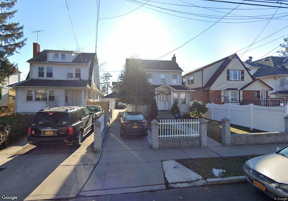
19614 89th Ave Hollis, NY 11423
Hollis NeighborhoodEstimated Value: $798,000 - $1,083,000
Studio
--
Bath
1,854
Sq Ft
$488/Sq Ft
Est. Value
About This Home
This home is located at 19614 89th Ave, Hollis, NY 11423 and is currently estimated at $905,422, approximately $488 per square foot. 19614 89th Ave is a home located in Queens County with nearby schools including P.S. 35 Nathaniel Woodhull, I.S. 238 Susan B Anthony Academy, and The Wellspring Schools.
Ownership History
Date
Name
Owned For
Owner Type
Purchase Details
Closed on
Dec 17, 1997
Sold by
Hardial Birbal
Bought by
Mendozo Ernesto and Mendozo Mayra
Current Estimated Value
Home Financials for this Owner
Home Financials are based on the most recent Mortgage that was taken out on this home.
Original Mortgage
$171,900
Outstanding Balance
$28,723
Interest Rate
7.09%
Estimated Equity
$876,699
Purchase Details
Closed on
Sep 5, 1997
Sold by
Azzizzi Eustachio and Azzizzi Rosalie
Bought by
Hardial Birbal
Create a Home Valuation Report for This Property
The Home Valuation Report is an in-depth analysis detailing your home's value as well as a comparison with similar homes in the area
Home Values in the Area
Average Home Value in this Area
Purchase History
| Date | Buyer | Sale Price | Title Company |
|---|---|---|---|
| Mendozo Ernesto | $181,000 | Stewart Title Insurance Co | |
| Hardial Birbal | $115,000 | -- |
Source: Public Records
Mortgage History
| Date | Status | Borrower | Loan Amount |
|---|---|---|---|
| Open | Mendozo Ernesto | $171,900 |
Source: Public Records
Tax History
| Year | Tax Paid | Tax Assessment Tax Assessment Total Assessment is a certain percentage of the fair market value that is determined by local assessors to be the total taxable value of land and additions on the property. | Land | Improvement |
|---|---|---|---|---|
| 2025 | $6,627 | $36,437 | $12,551 | $23,886 |
| 2024 | $6,639 | $34,396 | $12,512 | $21,884 |
| 2023 | $6,281 | $32,674 | $10,095 | $22,579 |
| 2022 | $4,419 | $46,500 | $16,740 | $29,760 |
| 2021 | $6,098 | $39,960 | $16,740 | $23,220 |
| 2020 | $6,131 | $38,520 | $16,740 | $21,780 |
| 2019 | $5,703 | $40,560 | $16,740 | $23,820 |
| 2018 | $5,253 | $27,228 | $12,135 | $15,093 |
| 2017 | $4,959 | $25,795 | $12,874 | $12,921 |
| 2016 | $4,751 | $25,795 | $12,874 | $12,921 |
| 2015 | $2,715 | $25,303 | $15,027 | $10,276 |
| 2014 | $2,715 | $23,886 | $15,856 | $8,030 |
Source: Public Records
Map
Nearby Homes
- 91-16 196th St
- 19804 90th Ave
- 196-33 Foothill Ave
- 19633 Foothill Ave
- 88-48 201st St
- 92-22 195th Place
- 89-25 201st St
- 9141 195th St
- 191-13 Jamaica Ave
- 19511 Woodhull Ave
- 196-35 Dunton Ave Unit 1
- 88-44 202nd St
- 87-44 Marengo St Unit 2A
- 87-24 Marengo St Unit 2B
- 196-04 Pompeii Ave Unit 2
- 9051 201st St
- 197-21 Carpenter Ave Unit 1G
- 197-31 Carpenter Ave
- 19611 Pompeii Ave
- 196-11 Pompeii Ave
Your Personal Tour Guide
Ask me questions while you tour the home.