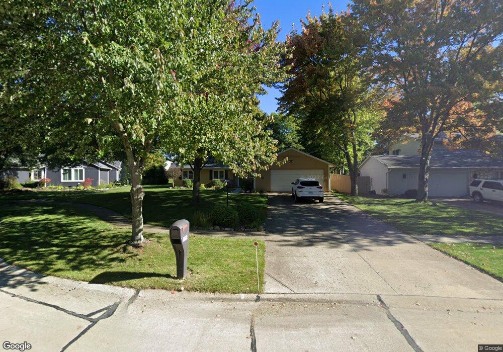
19617 Cross Trail N Strongsville, OH 44136
Estimated Value: $304,000 - $321,000
3
Beds
2
Baths
1,675
Sq Ft
$188/Sq Ft
Est. Value
About This Home
This home is located at 19617 Cross Trail N, Strongsville, OH 44136 and is currently estimated at $314,067, approximately $187 per square foot. 19617 Cross Trail N is a home located in Cuyahoga County with nearby schools including Strongsville High School, Saint Ambrose Catholic School, and Royal Redeemer Lutheran School.
Ownership History
Date
Name
Owned For
Owner Type
Purchase Details
Closed on
Mar 14, 2014
Sold by
The Bank Of New York Mellon
Bought by
Equity Trust Company
Current Estimated Value
Purchase Details
Closed on
Jul 18, 1986
Sold by
Ahneman Spencer W
Bought by
Potter David S
Purchase Details
Closed on
Jul 26, 1983
Bought by
Ahneman Spencer W
Purchase Details
Closed on
Nov 16, 1982
Bought by
Womens Fedl S & L Assn
Purchase Details
Closed on
Feb 26, 1982
Bought by
Plantera Corp
Purchase Details
Closed on
Jan 1, 1978
Bought by
Terra Corp
Create a Home Valuation Report for This Property
The Home Valuation Report is an in-depth analysis detailing your home's value as well as a comparison with similar homes in the area
Home Values in the Area
Average Home Value in this Area
Purchase History
| Date | Buyer | Sale Price | Title Company |
|---|---|---|---|
| Equity Trust Company | $83,400 | Attorney | |
| Potter David S | $84,500 | -- | |
| Ahneman Spencer W | $77,000 | -- | |
| Womens Fedl S & L Assn | -- | -- | |
| Plantera Corp | -- | -- | |
| Terra Corp | -- | -- |
Source: Public Records
Tax History Compared to Growth
Tax History
| Year | Tax Paid | Tax Assessment Tax Assessment Total Assessment is a certain percentage of the fair market value that is determined by local assessors to be the total taxable value of land and additions on the property. | Land | Improvement |
|---|---|---|---|---|
| 2024 | $4,044 | $86,135 | $20,125 | $66,010 |
| 2023 | $4,146 | $66,220 | $15,540 | $50,680 |
| 2022 | $4,116 | $66,220 | $15,540 | $50,680 |
| 2021 | $4,084 | $66,220 | $15,540 | $50,680 |
| 2020 | $3,785 | $54,290 | $12,740 | $41,550 |
| 2019 | $3,657 | $154,400 | $36,400 | $118,000 |
| 2018 | $3,319 | $54,040 | $12,740 | $41,300 |
| 2017 | $3,409 | $51,380 | $9,870 | $41,510 |
| 2016 | $3,381 | $51,380 | $9,870 | $41,510 |
| 2015 | $3,429 | $51,380 | $9,870 | $41,510 |
| 2014 | $3,429 | $51,380 | $9,870 | $41,510 |
Source: Public Records
Map
Nearby Homes
- 19813 Cross Trail S
- 14985 Camden Cir
- 15188 Trails Landing
- 18987 Laurell Cir
- 19694 Benbow Rd
- 19740 Benbow Rd
- 3137 Blackburn Ln
- 15604-REAR Boston Rd
- 106 Briarleigh Dr
- 15772 Boston Rd
- 19252 Hidden Woods Ln
- 18229 Howe Rd
- 97 Weathervane Ln
- 14132 Walking Stick Way
- 13448 Compass Point Dr
- 266 Bettie Ln
- 13335 Tradewinds Dr
- 14558 Drake Rd
- 16711 Beech Cir
- 17130 Golden Star Dr
- 19639 Cross Trail N
- 19595 Cross Trail N
- 19661 Cross Trail N
- 19567 Cross Trail N
- 14572 Hartford Trail
- 19630 Cross Trail N
- 14731 Trenton Ave
- 14699 Trenton Ave
- 19562 Cross Trail N
- 19584 Cross Trail N
- 19654 Cross Trail N
- 14667 Trenton Ave
- 14795 Trenton Ave
- 14560 Hartford Trail
- 14635 Trenton Ave
- 14728 Hartford Trail
- 14827 Trenton Ave
- 14631 Hartford Trail
- 14599 Hartford Trail
- 14557 Hartford Trail