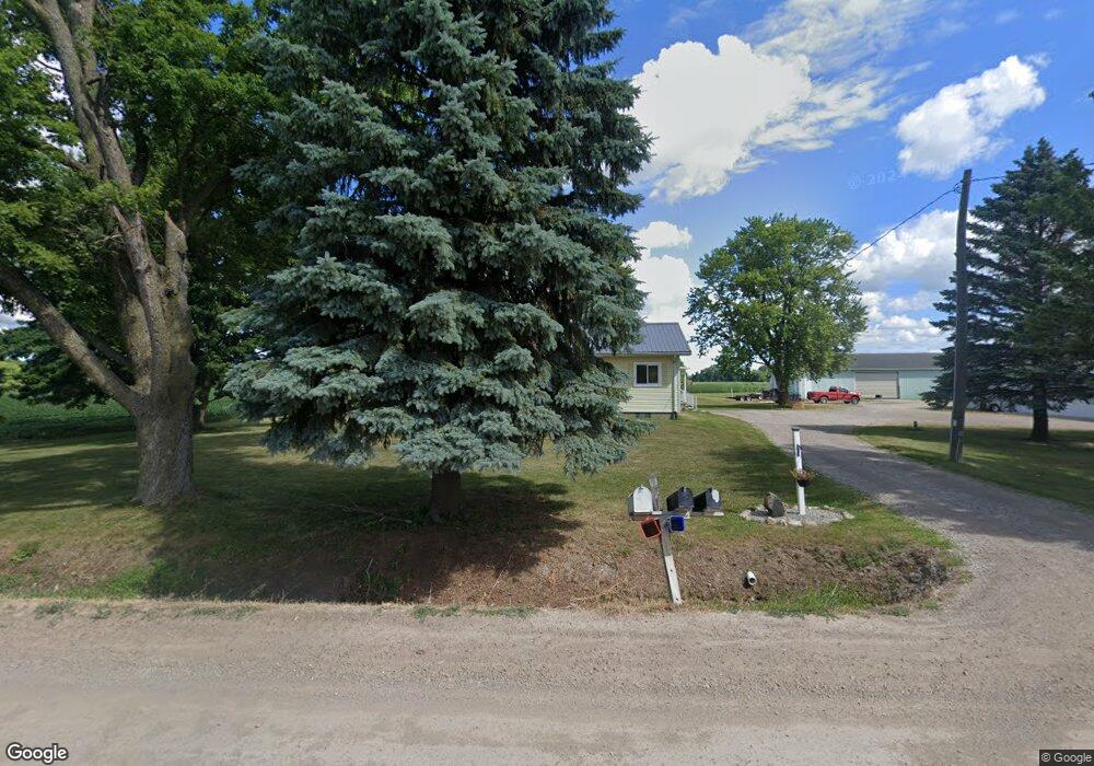
19619 Pratt Rd Armada, MI 48005
Estimated Value: $239,000 - $356,000
Studio
1
Bath
2,106
Sq Ft
$129/Sq Ft
Est. Value
About This Home
This home is located at 19619 Pratt Rd, Armada, MI 48005 and is currently estimated at $272,352, approximately $129 per square foot. 19619 Pratt Rd is a home located in Macomb County with nearby schools including Orville C. Krause Elementary School, Armada Middle School, and Armada High School.
Ownership History
Date
Name
Owned For
Owner Type
Purchase Details
Closed on
Dec 18, 2015
Sold by
Wolak Thomas E and Westfall Mary Ann
Bought by
Wolak Ronald Thomas
Current Estimated Value
Home Financials for this Owner
Home Financials are based on the most recent Mortgage that was taken out on this home.
Original Mortgage
$48,000
Interest Rate
3.92%
Mortgage Type
New Conventional
Purchase Details
Closed on
Dec 22, 2011
Sold by
Wolak Dorothy M and Westfall Mary Ann
Bought by
Wolak Dorothy M and Wolak Thomas E
Purchase Details
Closed on
Oct 30, 2011
Sold by
Wolak Dorothy M and Corbin Jon A
Bought by
Wolak Dorothy M
Create a Home Valuation Report for This Property
The Home Valuation Report is an in-depth analysis detailing your home's value as well as a comparison with similar homes in the area
Home Values in the Area
Average Home Value in this Area
Purchase History
| Date | Buyer | Sale Price | Title Company |
|---|---|---|---|
| Wolak Ronald Thomas | $80,000 | Mbt Title Services Llc | |
| Wolak Dorothy M | -- | None Available | |
| Wolak Dorothy M | -- | Attorney |
Source: Public Records
Mortgage History
| Date | Status | Borrower | Loan Amount |
|---|---|---|---|
| Closed | Wolak Ronald Thomas | $48,000 |
Source: Public Records
Tax History
| Year | Tax Paid | Tax Assessment Tax Assessment Total Assessment is a certain percentage of the fair market value that is determined by local assessors to be the total taxable value of land and additions on the property. | Land | Improvement |
|---|---|---|---|---|
| 2025 | $954 | $120,100 | $0 | $0 |
| 2024 | $9 | $117,100 | $0 | $0 |
| 2023 | $879 | $103,500 | $0 | $0 |
| 2022 | $1,332 | $94,000 | $0 | $0 |
| 2021 | $1,295 | $90,600 | $0 | $0 |
| 2020 | $808 | $86,800 | $0 | $0 |
| 2019 | $1,189 | $81,300 | $0 | $0 |
| 2018 | $1,090 | $77,900 | $0 | $0 |
| 2017 | $1,075 | $73,000 | $17,800 | $55,200 |
| 2016 | $1,067 | $73,000 | $0 | $0 |
| 2015 | -- | $60,800 | $0 | $0 |
| 2011 | -- | $55,008 | $15,389 | $39,619 |
Source: Public Records
Map
Nearby Homes
- 5414 Bordman Rd
- TBD Bordman Rd
- 408 Howell Rd
- 73763 Coon Creek Rd
- 2.0 Acres Vacant Lan Coon Creek Rd
- 0 Fox Ridge 1-A Unit 50200438
- 0 Parcel D Almont Rd
- 0 Parcel E Almont Rd
- 0 Parcel C Almont Rd
- 23100 Pratt Rd
- 14150 Hough Rd
- 23335 McPhall Rd
- 14750 Reid Rd
- 78730 Brown Rd
- 0 Romeo Plank Rd Unit 50180632
- 77000 Brown Rd
- 75901 North Ave
- 0 Irwin Unit 20251018591
- 00 Irwin Rd
- 16465 Almont Rd
- 19455 Pratt Rd
- 19500 Pratt Rd
- 19620 Pratt Rd
- 19835 Pratt Rd
- 19225 Pratt Rd
- 19933 Pratt Rd
- 00 Pratt
- 0 Pratt Unit 78080024540
- 0 Pratt Unit 78080024187
- 19205 Pratt Rd
- 20090 Pratt Rd
- 19011 Pratt Rd
- 20151 Pratt Rd
- 20200 Pratt Rd
- 18926 Pratt Rd
- 18901 Pratt Rd
- 20360 Pratt Rd
- 80466 Capac Rd
- 80450 Capac Rd
- 80200 Capac Rd Unit Bldg-Unit
Your Personal Tour Guide
Ask me questions while you tour the home.