1962 Durwood Ln Unit 76 Duluth, GA 30096
Estimated Value: $314,000 - $323,000
3
Beds
3
Baths
1,696
Sq Ft
$187/Sq Ft
Est. Value
About This Home
This home is located at 1962 Durwood Ln Unit 76, Duluth, GA 30096 and is currently estimated at $317,366, approximately $187 per square foot. 1962 Durwood Ln Unit 76 is a home located in Gwinnett County with nearby schools including Ferguson Elementary School, Louise Radloff Middle School, and McClure Health Science High School.
Ownership History
Date
Name
Owned For
Owner Type
Purchase Details
Closed on
Jun 22, 2007
Sold by
Bear Stearns Alt A 2005 & 2
Bought by
Barnes Jock
Current Estimated Value
Home Financials for this Owner
Home Financials are based on the most recent Mortgage that was taken out on this home.
Original Mortgage
$157,000
Outstanding Balance
$97,772
Interest Rate
6.52%
Mortgage Type
New Conventional
Estimated Equity
$219,594
Purchase Details
Closed on
Feb 6, 2007
Sold by
Brown Charmaine P
Bought by
Jp Morgan Chase Bank Ba
Create a Home Valuation Report for This Property
The Home Valuation Report is an in-depth analysis detailing your home's value as well as a comparison with similar homes in the area
Home Values in the Area
Average Home Value in this Area
Purchase History
| Date | Buyer | Sale Price | Title Company |
|---|---|---|---|
| Barnes Jock | $157,000 | -- | |
| Jp Morgan Chase Bank Ba | $134,001 | -- |
Source: Public Records
Mortgage History
| Date | Status | Borrower | Loan Amount |
|---|---|---|---|
| Open | Barnes Jock | $157,000 |
Source: Public Records
Tax History Compared to Growth
Tax History
| Year | Tax Paid | Tax Assessment Tax Assessment Total Assessment is a certain percentage of the fair market value that is determined by local assessors to be the total taxable value of land and additions on the property. | Land | Improvement |
|---|---|---|---|---|
| 2024 | $3,679 | $131,080 | $18,000 | $113,080 |
| 2023 | $3,679 | $129,480 | $19,200 | $110,280 |
| 2022 | $0 | $102,800 | $16,000 | $86,800 |
| 2021 | $2,635 | $80,480 | $16,000 | $64,480 |
| 2020 | $2,483 | $72,640 | $12,000 | $60,640 |
| 2019 | $2,412 | $72,640 | $12,000 | $60,640 |
| 2018 | $2,239 | $64,720 | $12,000 | $52,720 |
| 2016 | $2,057 | $56,760 | $8,000 | $48,760 |
| 2015 | $1,554 | $41,920 | $4,000 | $37,920 |
| 2014 | -- | $41,920 | $4,000 | $37,920 |
Source: Public Records
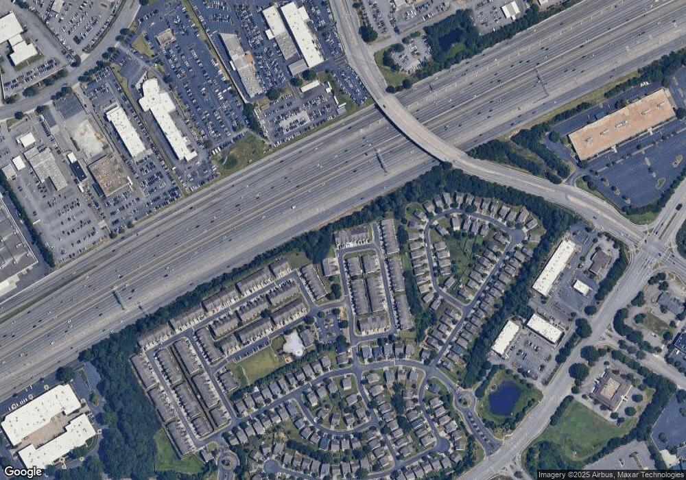
Map
Nearby Homes
- 2193 Executive Dr
- 3191 Creston Park Ct Unit 132
- 3166 Creston Park Ct Unit 96
- 2158 Executive Dr
- 1938 Dilcrest Dr
- 2102 Executive Dr
- 1526 Viero Dr
- 3500 Sweetwater Rd Unit 424
- 3500 Sweetwater Rd Unit 522
- 3255 Tennington Place
- 1640 Northgate Mill Dr
- 3271 Long Iron Place
- 3285 Long Iron Place
- 3564 Shore Wood Ave
- 3231 Long Iron Dr
- 4065 Holland Grove Rd
- 2277 Whitworth St
- 1014 Country Ct Unit 1014
- 1014 Country Ct
- 1960 Durwood Ln Unit 75
- 1960 Durwood Ln
- 1960 Durwood Ln Unit 1960
- 1964 Durwood Ln
- 1966 Durwood Ln
- 1968 Durwood Ln Unit 1968
- 1968 Durwood Ln
- 1970 Durwood Ln Unit 80
- 1956 Durwood Ln
- 1956 Durwood Ln Unit 74
- 1956 Durwood Ln Unit 234
- 1956 Durwood Ln Unit 1956
- 1972 Durwood Ln
- 1955 Durwood Ln
- 1955 Durwood Ln Unit 1955
- 1974 Durwood Ln Unit 82
- 1974 Durwood Ln
- 1954 Durwood Ln Unit 1954
- 1954 Durwood Ln Unit 1554
- 1954 Durwood Ln Unit 1