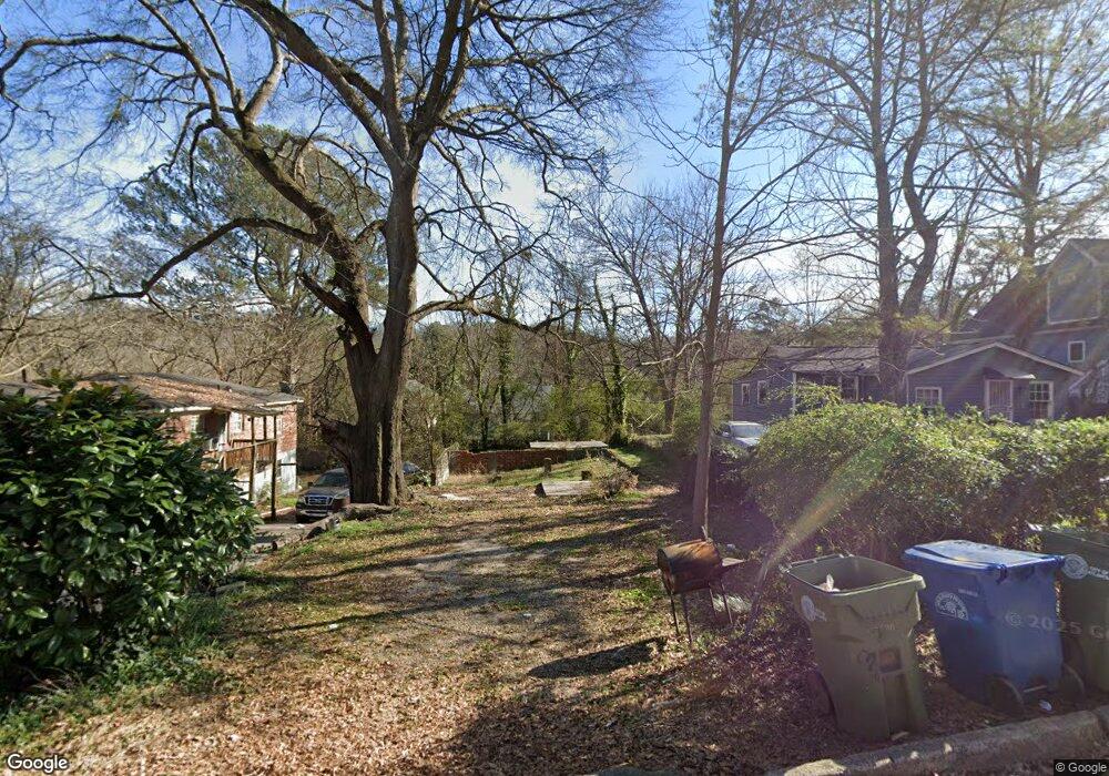
1962 Lois Place NW Atlanta, GA 30318
Grove Park NeighborhoodEstimated Value: $26,520 - $240,000
3
Beds
2
Baths
1,145
Sq Ft
$88/Sq Ft
Est. Value
About This Home
This home is located at 1962 Lois Place NW, Atlanta, GA 30318 and is currently estimated at $101,130, approximately $88 per square foot. 1962 Lois Place NW is a home located in Fulton County with nearby schools including Boyd Elementary School, John Lewis Invictus Academy, and Frederick Douglass High School.
Ownership History
Date
Name
Owned For
Owner Type
Purchase Details
Closed on
Aug 6, 2020
Sold by
Turnipseed W J Estate
Bought by
735 Martin Street Llc
Current Estimated Value
Home Financials for this Owner
Home Financials are based on the most recent Mortgage that was taken out on this home.
Original Mortgage
$22,125
Interest Rate
3%
Mortgage Type
New Conventional
Create a Home Valuation Report for This Property
The Home Valuation Report is an in-depth analysis detailing your home's value as well as a comparison with similar homes in the area
Home Values in the Area
Average Home Value in this Area
Purchase History
| Date | Buyer | Sale Price | Title Company |
|---|---|---|---|
| 735 Martin Street Llc | $20,000 | -- |
Source: Public Records
Mortgage History
| Date | Status | Borrower | Loan Amount |
|---|---|---|---|
| Closed | 735 Martin Street Llc | $22,125 |
Source: Public Records
Tax History Compared to Growth
Tax History
| Year | Tax Paid | Tax Assessment Tax Assessment Total Assessment is a certain percentage of the fair market value that is determined by local assessors to be the total taxable value of land and additions on the property. | Land | Improvement |
|---|---|---|---|---|
| 2025 | $1,048 | $35,520 | $35,520 | -- |
| 2023 | $2,115 | $51,080 | $51,080 | $0 |
| 2022 | $324 | $51,080 | $51,080 | $0 |
| 2021 | $2,026 | $73,160 | $54,160 | $19,000 |
| 2020 | $2,048 | $50,000 | $27,120 | $22,880 |
| 2019 | $485 | $26,880 | $8,120 | $18,760 |
| 2018 | $522 | $12,600 | $3,400 | $9,200 |
| 2017 | $416 | $9,640 | $4,000 | $5,640 |
| 2016 | $417 | $9,640 | $4,000 | $5,640 |
| 2015 | $1,282 | $9,640 | $4,000 | $5,640 |
| 2014 | $519 | $11,440 | $7,720 | $3,720 |
Source: Public Records
Map
Nearby Homes
- 1974 Lois Place NW
- 1981 Lois Place NW
- 1985 Lois Place NW
- 75 Johnson Rd NW
- 2015 Lois Place NW
- 1987 Ruth St NW
- 1039 Margaret Place NW
- 1075 Cato St NW
- 37 Johnson Rd NW
- 965 Cato St NW
- 30 Johnson Rd NW
- 1131 Cato St NW
- 1050 Cato St NW
- 25 Johnson Rd NW
- 1055 Johnson Grove
- 923 N Eugenia Place NW
- 15 Johnson Rd NW
- 1956 Lois Place NW
- 1966 Lois Place NW
- 1952 Lois Place NW
- 1972 Lois Place NW
- 1950 Lois Place NW
- 116 Johnson Rd NW
- 1964 Lois Place NW
- 118 Johnson Rd NW Unit A
- 118 Johnson Rd NW
- 118 Johnson Rd NW Unit B
- 118 Johnson Rd NW Unit A
- 1961 Lois Place NW
- 1965 Lois Place NW
- 1951 Lois Place NW
- 114 Johnson Rd NW
- 1976 Lois Place NW
- 1099 Jones Ave NW
- 1957 Lois Place NW
- 1097 Jones Ave NW
- 1978 Lois Place NW