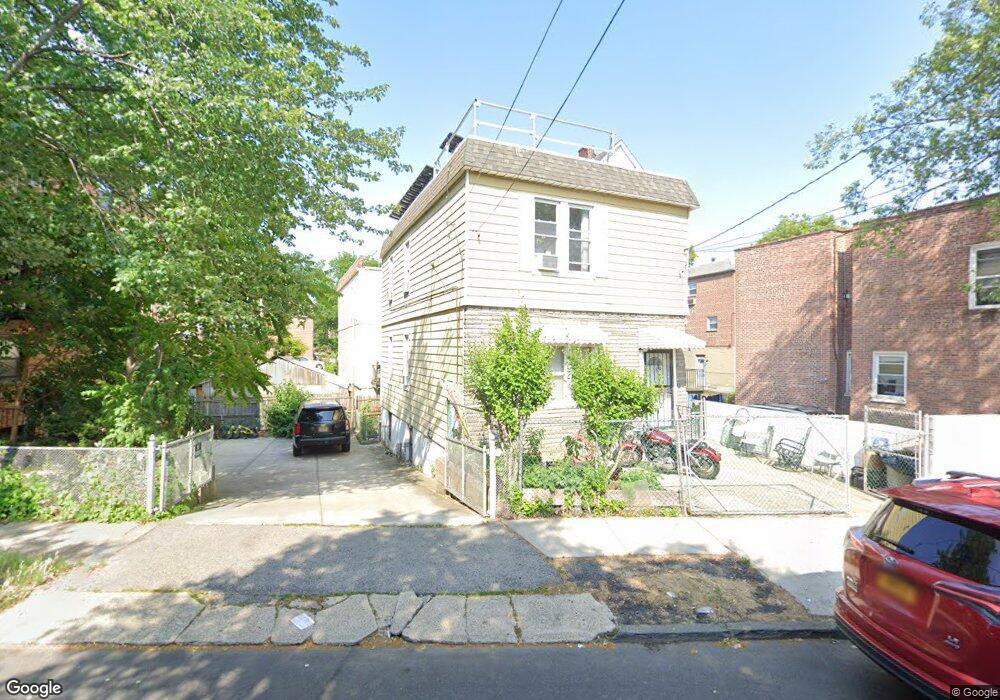
1962 Muliner Ave Bronx, NY 10462
Morris Park NeighborhoodEstimated Value: $697,713 - $937,000
Studio
--
Bath
1,440
Sq Ft
$587/Sq Ft
Est. Value
About This Home
This home is located at 1962 Muliner Ave, Bronx, NY 10462 and is currently estimated at $845,678, approximately $587 per square foot. 1962 Muliner Ave is a home located in Bronx County with nearby schools including P.S. 083 The Donald Hertz School, Bronx Excellence 2, and Bronx Charter School For Excellence 2.
Ownership History
Date
Name
Owned For
Owner Type
Purchase Details
Closed on
Jan 27, 2001
Sold by
Kocinsky Rose J
Bought by
Ramnaraine Kishore
Current Estimated Value
Home Financials for this Owner
Home Financials are based on the most recent Mortgage that was taken out on this home.
Original Mortgage
$211,470
Interest Rate
6.9%
Create a Home Valuation Report for This Property
The Home Valuation Report is an in-depth analysis detailing your home's value as well as a comparison with similar homes in the area
Home Values in the Area
Average Home Value in this Area
Purchase History
| Date | Buyer | Sale Price | Title Company |
|---|---|---|---|
| Ramnaraine Kishore | $223,000 | Lawyers Title Insurance Corp |
Source: Public Records
Mortgage History
| Date | Status | Borrower | Loan Amount |
|---|---|---|---|
| Previous Owner | Ramnaraine Kishore | $211,470 |
Source: Public Records
Tax History
| Year | Tax Paid | Tax Assessment Tax Assessment Total Assessment is a certain percentage of the fair market value that is determined by local assessors to be the total taxable value of land and additions on the property. | Land | Improvement |
|---|---|---|---|---|
| 2025 | $6,107 | $32,228 | $7,449 | $24,779 |
| 2024 | $6,107 | $30,406 | $6,373 | $24,033 |
| 2023 | $5,826 | $28,685 | $6,119 | $22,566 |
| 2022 | $5,726 | $41,220 | $8,640 | $32,580 |
| 2021 | $5,991 | $33,480 | $8,640 | $24,840 |
| 2020 | $5,685 | $35,160 | $8,640 | $26,520 |
| 2019 | $5,300 | $33,780 | $8,640 | $25,140 |
| 2018 | $4,873 | $23,904 | $6,830 | $17,074 |
| 2017 | $4,873 | $23,904 | $7,516 | $16,388 |
| 2016 | $4,742 | $23,723 | $7,524 | $16,199 |
| 2015 | $2,737 | $22,381 | $7,905 | $14,476 |
| 2014 | $2,737 | $21,115 | $8,914 | $12,201 |
Source: Public Records
Map
Nearby Homes
- 1916 Barnes Ave
- 1913 Barnes Ave
- 928 Rhinelander Ave
- 1925 Radcliff Ave
- 2004 Bogart Ave
- 1961 Wallace Ave
- 1839 Matthews Ave
- 1858 Wallace Ave
- 1914 Holland Ave
- 986 Neill Ave
- 762 Brady Ave Unit 221
- 1918 Hunt Ave
- 733 Rhinelander Ave
- 2037 Radcliff Ave
- 758 Brady Ave Unit 214
- 758 Brady Ave Unit 411
- 760 Brady Ave Unit 417
- 760 Brady Ave Unit 217
- 2019 Colden Ave
- 754 Brady Ave Unit 303
- 1958 Muliner Ave
- 1961 Fowler Ave
- 1959 Fowler Ave Unit 1
- 1959 Fowler Ave Unit 2
- 1959 Fowler Ave
- 900 Neill Ave
- 904 Neill Ave
- 1954 Muliner Ave
- 1957A Fowler Ave
- 842 Neill Ave
- 1957 Fowler Ave
- 840 Neill Ave
- 1955 Fowler Ave
- 1991 Muliner Ave
- 1989 Muliner Ave
- 1951 Fowler Ave Unit 1
- 1951 Fowler Ave Unit 2
- 1950 Muliner Ave
- 836 Neill Ave
- 924 Neill Ave
Your Personal Tour Guide
Ask me questions while you tour the home.