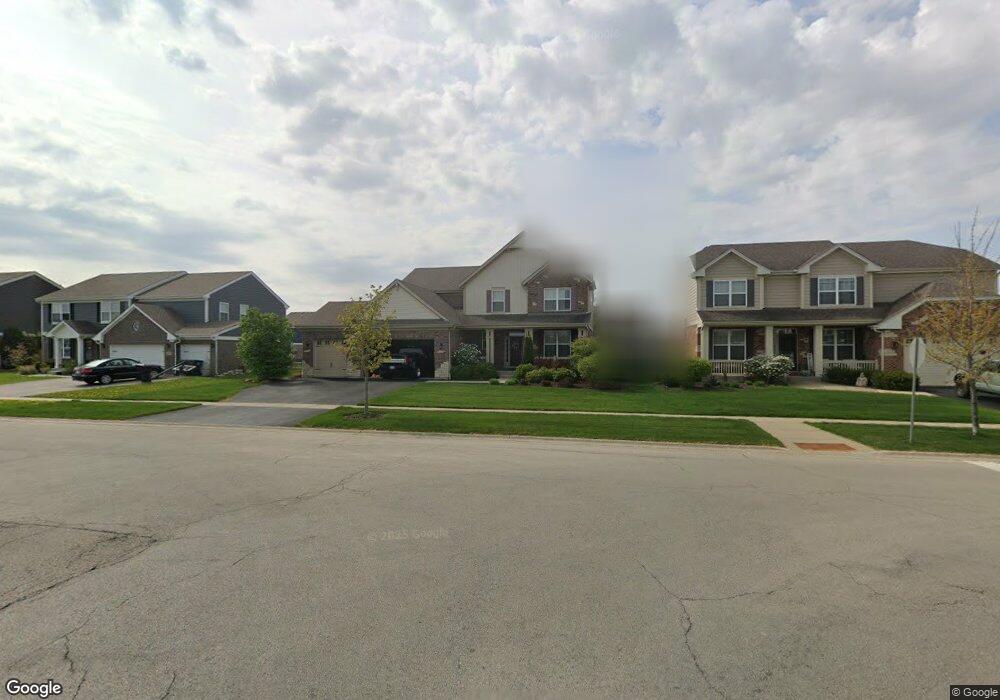
1962 Stapleton Rd New Lenox, IL 60451
Estimated Value: $628,000 - $685,000
4
Beds
4
Baths
3,226
Sq Ft
$203/Sq Ft
Est. Value
About This Home
This home is located at 1962 Stapleton Rd, New Lenox, IL 60451 and is currently estimated at $655,732, approximately $203 per square foot. 1962 Stapleton Rd is a home located in Will County with nearby schools including Spencer Trail, Spencer Pointe, and Spencer Crossing Intermediate School.
Ownership History
Date
Name
Owned For
Owner Type
Purchase Details
Closed on
Jul 7, 2017
Sold by
Drh Cambridge Homes Inc
Bought by
Cross Samuel E and Cross Heather
Current Estimated Value
Home Financials for this Owner
Home Financials are based on the most recent Mortgage that was taken out on this home.
Original Mortgage
$391,500
Outstanding Balance
$325,360
Interest Rate
3.9%
Mortgage Type
New Conventional
Estimated Equity
$330,372
Create a Home Valuation Report for This Property
The Home Valuation Report is an in-depth analysis detailing your home's value as well as a comparison with similar homes in the area
Home Values in the Area
Average Home Value in this Area
Purchase History
| Date | Buyer | Sale Price | Title Company |
|---|---|---|---|
| Cross Samuel E | $435,000 | First American Title |
Source: Public Records
Mortgage History
| Date | Status | Borrower | Loan Amount |
|---|---|---|---|
| Open | Cross Samuel E | $391,500 |
Source: Public Records
Tax History
| Year | Tax Paid | Tax Assessment Tax Assessment Total Assessment is a certain percentage of the fair market value that is determined by local assessors to be the total taxable value of land and additions on the property. | Land | Improvement |
|---|---|---|---|---|
| 2024 | $15,540 | $199,493 | $35,699 | $163,794 |
| 2023 | $15,540 | $181,853 | $32,542 | $149,311 |
| 2022 | $13,976 | $167,529 | $29,979 | $137,550 |
| 2021 | $13,282 | $157,555 | $28,194 | $129,361 |
| 2020 | $12,913 | $151,933 | $27,188 | $124,745 |
| 2019 | $12,367 | $147,222 | $26,345 | $120,877 |
| 2018 | $12,090 | $142,147 | $25,437 | $116,710 |
| 2017 | $4,454 | $877 | $877 | $0 |
| 2016 | $76 | $877 | $877 | $0 |
| 2015 | $77 | $877 | $877 | $0 |
| 2014 | $77 | $877 | $877 | $0 |
Source: Public Records
Map
Nearby Homes
- 1973 Edgeview Dr
- 1825 Brogan Dr
- LOT 8 W Laraway Rd
- 22545 S Spencer Rd
- 2231 Stone Creek Dr
- 2301 Stone Creek Dr
- 2341 Stone Creek Dr
- 22600 Country Ct
- 1067 Southgate Rd Unit 34
- 1000 S Cedar Rd
- 1401 Ottawa Dr
- 14620 W Laraway Rd
- 178 W Otto Dr
- 2122 Sky Harbor Dr
- 2019 Royalglen Dr
- 1869 Glenlake Ct
- 2155 Sky Harbor Dr
- 2157 Sky Harbor Dr
- 2156 Sky Harbor Dr
- 2164 Sky Harbor Dr
- 1970 Stapleton Rd
- 1977 Bristol Park Rd
- 2014 Rownham Hill Rd
- 2020 Rownham Hill Rd
- 1993 Bristol Park Rd
- 1978 Stapleton Rd
- 2010 Rownham Hill Rd
- 2026 Rownham Hill Rd
- 1976 Bristol Park Rd
- 1971 Stapleton Rd
- 1986 Stapleton Rd
- 2009 Bristol Park Rd
- 1994 Stapleton Rd
- 2032 Rownham Hill Rd
- 1994 Bristol Park Rd
- 1975 Stapleton Rd
- 2013 Bristol Park Rd
- 2017 Rownham Hill Rd
- 2025 Rownham Hill Rd
- 2036 Rownham Hill Rd
Your Personal Tour Guide
Ask me questions while you tour the home.