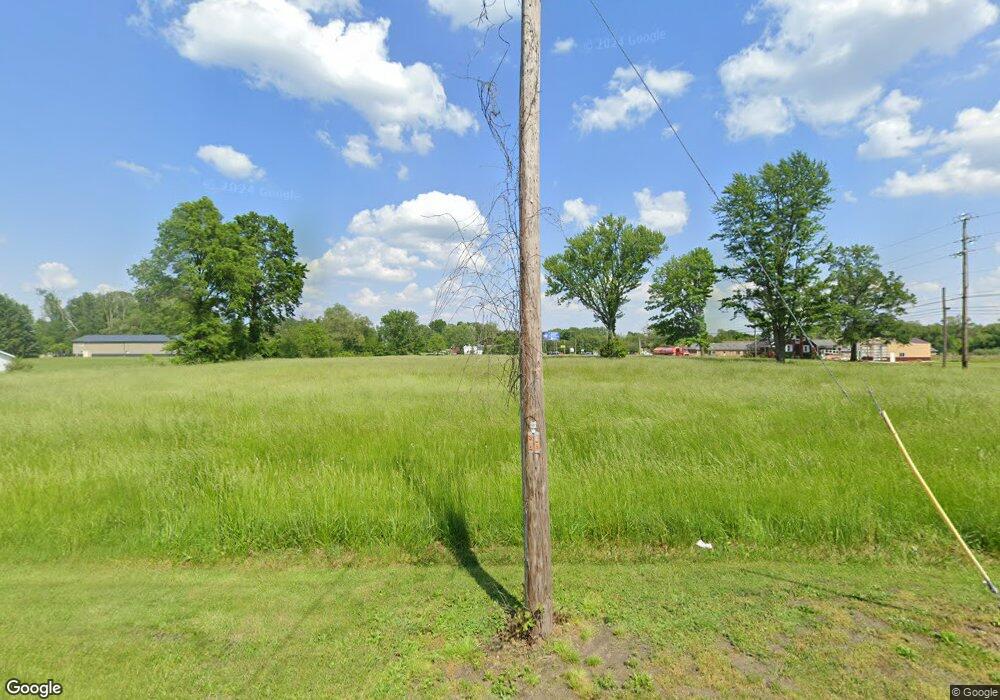
1962 Us Highway 20 Swanton, OH 43558
Estimated Value: $68,000 - $429,000
--
Bed
--
Bath
--
Sq Ft
2.38
Acres
About This Home
This home is located at 1962 Us Highway 20, Swanton, OH 43558 and is currently estimated at $248,500. 1962 Us Highway 20 is a home located in Fulton County with nearby schools including Swanton High School, Swanton Middle School, and St. Richard School.
Ownership History
Date
Name
Owned For
Owner Type
Purchase Details
Closed on
Mar 29, 2018
Sold by
First Federal Baknk
Bought by
First Federa Bank and The Janet La Wenz Trust
Current Estimated Value
Purchase Details
Closed on
Apr 15, 2009
Sold by
Estate Of Janet L Wenz
Bought by
Wenz Glenn C and Janet L Wenz Trust
Purchase Details
Closed on
Mar 13, 2009
Sold by
Wenz Glenn C
Bought by
Wenz Glenn C and The Glenn C Wenz Trust
Purchase Details
Closed on
May 13, 2004
Sold by
Hines David A and Hines Janet M
Bought by
Wenz Glenn C and Wenz Janet L
Purchase Details
Closed on
May 8, 2004
Sold by
Murphy Carol A
Bought by
Wenz Glenn C and Wenz Janet L
Create a Home Valuation Report for This Property
The Home Valuation Report is an in-depth analysis detailing your home's value as well as a comparison with similar homes in the area
Home Values in the Area
Average Home Value in this Area
Purchase History
| Date | Buyer | Sale Price | Title Company |
|---|---|---|---|
| First Federa Bank | $103,000 | None Available | |
| Wenz Glenn C | -- | None Available | |
| Wenz Glenn C | -- | Attorney | |
| Wenz Glenn C | $159,000 | Louisville Title | |
| Wenz Glenn C | -- | -- |
Source: Public Records
Tax History Compared to Growth
Tax History
| Year | Tax Paid | Tax Assessment Tax Assessment Total Assessment is a certain percentage of the fair market value that is determined by local assessors to be the total taxable value of land and additions on the property. | Land | Improvement |
|---|---|---|---|---|
| 2024 | $270 | $5,430 | $5,430 | $0 |
| 2023 | $270 | $5,430 | $5,430 | $0 |
| 2022 | $247 | $4,520 | $4,520 | $0 |
| 2021 | $260 | $4,520 | $4,520 | $0 |
| 2020 | $263 | $4,520 | $4,520 | $0 |
| 2019 | $206 | $3,260 | $3,260 | $0 |
| 2018 | $493 | $3,260 | $3,260 | $0 |
| 2017 | $89 | $5,180 | $5,180 | $0 |
| 2016 | $113 | $5,740 | $5,740 | $0 |
| 2015 | $104 | $5,740 | $5,740 | $0 |
| 2014 | $106 | $5,740 | $5,740 | $0 |
| 2013 | $62 | $2,420 | $2,420 | $0 |
Source: Public Records
Map
Nearby Homes
- 7893 County Road 2
- 510 S Main St
- 214 Franklin Ave
- 227 Kierra Ln
- 103 Cherry St
- 404 E Garfield Ave
- 407 E Garfield Ave
- 6854 County Road 3
- 433 Church St
- 502 Brookside Dr
- 0 Waterwood Dr
- 225 Kierra Ln
- 204 Hickory St
- 6042 County Road 1-1
- 215 Hickory St
- 1200 County Road F
- 4303 S Berkey Southern Rd
- 4555 S Fulton Lucas Rd
- 3121 County Road Ef
- 13645 Shaffer Rd
- 439 W Airport Hwy
- 233 S Munson Rd
- LOT 2 County Road 2
- LOT 4 County Road 2
- LOT 3 County Road 2
- LOT 1 County Road 2
- LOT 13 County Road 2
- 231 S Munson Rd
- 421 W Airport Hwy
- 431 W Airport Hwy
- 74/1 County Road 2
- 1902 U S 20a
- 229 S Munson Rd
- 7493 County Road 2
- 105 Dogwood Dr
- 103 Dogwood Dr
- 107 Dogwood Dr
- 303 S Munson Rd
- 101 Dogwood Dr
- 228 S Munson Rd