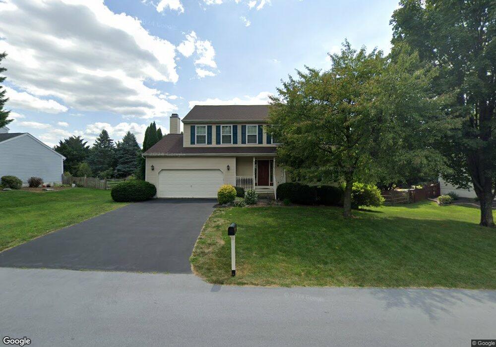
19621 Portsmouth Dr Hagerstown, MD 21742
Estimated Value: $470,063 - $514,000
4
Beds
3
Baths
2,389
Sq Ft
$204/Sq Ft
Est. Value
About This Home
This home is located at 19621 Portsmouth Dr, Hagerstown, MD 21742 and is currently estimated at $487,266, approximately $203 per square foot. 19621 Portsmouth Dr is a home located in Washington County with nearby schools including Paramount Elementary School, Otsego West Campus High School, and Northern Middle School.
Ownership History
Date
Name
Owned For
Owner Type
Purchase Details
Closed on
Mar 16, 1999
Sold by
Benoy Desouza
Bought by
Frank Bertone
Current Estimated Value
Purchase Details
Closed on
Nov 6, 1996
Sold by
Ryan Dan Builders Inc
Bought by
Benoy Desouza
Purchase Details
Closed on
Jun 11, 1996
Sold by
Mullan Enterprises Inc
Bought by
Ryan Dan Builders Inc
Create a Home Valuation Report for This Property
The Home Valuation Report is an in-depth analysis detailing your home's value as well as a comparison with similar homes in the area
Home Values in the Area
Average Home Value in this Area
Purchase History
| Date | Buyer | Sale Price | Title Company |
|---|---|---|---|
| Frank Bertone | $170,000 | -- | |
| Benoy Desouza | $179,259 | -- | |
| Ryan Dan Builders Inc | $97,500 | -- |
Source: Public Records
Mortgage History
| Date | Status | Borrower | Loan Amount |
|---|---|---|---|
| Closed | Benoy Desouza | -- |
Source: Public Records
Tax History Compared to Growth
Tax History
| Year | Tax Paid | Tax Assessment Tax Assessment Total Assessment is a certain percentage of the fair market value that is determined by local assessors to be the total taxable value of land and additions on the property. | Land | Improvement |
|---|---|---|---|---|
| 2025 | $3,202 | $343,967 | $0 | $0 |
| 2024 | $3,202 | $313,600 | $72,600 | $241,000 |
| 2023 | $3,049 | $297,967 | $0 | $0 |
| 2022 | $2,902 | $282,333 | $0 | $0 |
| 2021 | $2,762 | $266,700 | $72,600 | $194,100 |
| 2020 | $2,762 | $261,767 | $0 | $0 |
| 2019 | $2,722 | $256,833 | $0 | $0 |
| 2018 | $2,670 | $251,900 | $72,600 | $179,300 |
| 2017 | $2,620 | $247,133 | $0 | $0 |
| 2016 | -- | $242,367 | $0 | $0 |
| 2015 | -- | $237,600 | $0 | $0 |
| 2014 | $2,851 | $237,600 | $0 | $0 |
Source: Public Records
Map
Nearby Homes
- 19703 Portsmouth Dr
- 19702 Portsmouth Dr
- 13336 Marquise Dr
- 13511 Cherry Tree Cir
- 20111 Regent Cir
- 20122 Regent Cir
- 13366 Marquise Dr
- 19310 Smallwood Terrace
- 19446 Sapphire Dr
- TBD Turquoise Dr Unit V221
- 19554 Turquoise Dr Unit V219
- 13335 Keener Rd
- 13343 Keener Rd
- 13347 Keener Rd
- 13336 Keener Rd
- 0 Diamond Pointe Dr Unit V120
- 13350 Diamond Pointe Dr Unit V227
- 13430 Marquise Dr Unit 80
- 19330 Longmeadow Rd
- 13407 Cherry Tree Cir
- 19625 Portsmouth Dr
- 19617 Portsmouth Dr
- 13227 Postrider Ct
- 13222 Postrider Ct
- 19629 Portsmouth Dr
- 19613 Portsmouth Dr
- 19624 Portsmouth Dr
- 19620 Portsmouth Dr
- 13223 Postrider Ct
- 19628 Portsmouth Dr
- 19616 Portsmouth Dr
- 19633 Portsmouth Dr
- 13218 Postrider Ct
- 19632 Portsmouth Dr
- 19609 Portsmouth Dr
- 19612 Portsmouth Dr
- 13219 Postrider Ct
- 19707 Portsmouth Dr
- 19636 Portsmouth Dr
- 13214 Postrider Ct