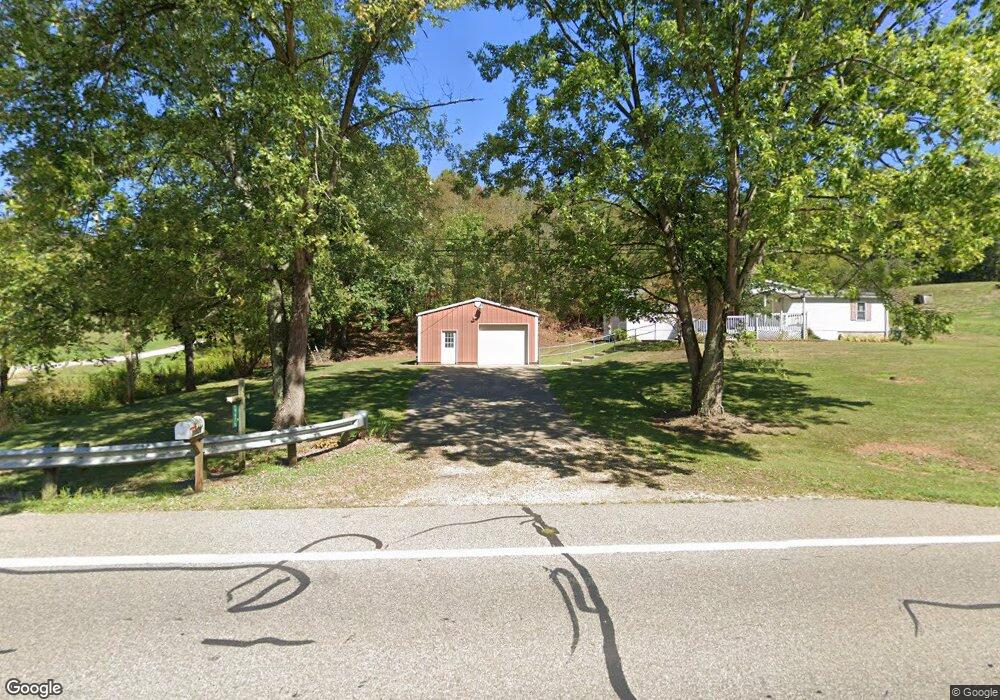
19625 State Route 550 Marietta, OH 45750
Estimated Value: $113,000 - $192,291
3
Beds
2
Baths
1,242
Sq Ft
$133/Sq Ft
Est. Value
About This Home
This home is located at 19625 State Route 550, Marietta, OH 45750 and is currently estimated at $165,073, approximately $132 per square foot. 19625 State Route 550 is a home with nearby schools including Warren High School, Veritas Classical Academy, and St. Mary Catholic School.
Ownership History
Date
Name
Owned For
Owner Type
Purchase Details
Closed on
Nov 22, 2024
Sold by
Chancellor Deborah L
Bought by
Chidester Stacy L
Current Estimated Value
Home Financials for this Owner
Home Financials are based on the most recent Mortgage that was taken out on this home.
Original Mortgage
$95,000
Outstanding Balance
$94,110
Interest Rate
6.44%
Mortgage Type
New Conventional
Estimated Equity
$70,963
Purchase Details
Closed on
May 27, 2004
Bought by
Chancellor Doyle D and Chancellor Deb
Purchase Details
Closed on
Aug 18, 1986
Bought by
Chancellor Doyle D
Create a Home Valuation Report for This Property
The Home Valuation Report is an in-depth analysis detailing your home's value as well as a comparison with similar homes in the area
Home Values in the Area
Average Home Value in this Area
Purchase History
| Date | Buyer | Sale Price | Title Company |
|---|---|---|---|
| Chidester Stacy L | $100,000 | None Listed On Document | |
| Chidester Stacy L | $100,000 | None Listed On Document | |
| Chancellor Doyle D | -- | -- | |
| Chancellor Doyle D | -- | -- |
Source: Public Records
Mortgage History
| Date | Status | Borrower | Loan Amount |
|---|---|---|---|
| Open | Chidester Stacy L | $95,000 | |
| Closed | Chidester Stacy L | $95,000 |
Source: Public Records
Tax History Compared to Growth
Tax History
| Year | Tax Paid | Tax Assessment Tax Assessment Total Assessment is a certain percentage of the fair market value that is determined by local assessors to be the total taxable value of land and additions on the property. | Land | Improvement |
|---|---|---|---|---|
| 2024 | $1,939 | $51,240 | $10,890 | $40,350 |
| 2023 | $1,939 | $51,240 | $10,890 | $40,350 |
| 2022 | $1,931 | $51,240 | $10,890 | $40,350 |
| 2021 | $1,351 | $34,280 | $7,560 | $26,720 |
| 2020 | $1,350 | $34,280 | $7,560 | $26,720 |
| 2019 | $1,330 | $34,280 | $7,560 | $26,720 |
| 2018 | $1,219 | $30,500 | $6,150 | $24,350 |
| 2017 | $1,212 | $30,500 | $6,150 | $24,350 |
| 2016 | $1,552 | $30,500 | $6,150 | $24,350 |
| 2015 | $1,003 | $28,070 | $5,890 | $22,180 |
| 2014 | $1,445 | $28,070 | $5,890 | $22,180 |
| 2013 | $1,040 | $28,070 | $5,890 | $22,180 |
Source: Public Records
Map
Nearby Homes
- 375 Belavista Dr
- 204 Coventry Rd
- 505 Harbor Point
- 146 Riverview Dr
- 101 Laramie Rd
- 117 Clark St
- 211 Beaver St
- 305 Flintwood Dr
- 20645 Ohio 676
- 101 Victory Place
- 645 Pearl Street Extension
- 101 High St
- 977 Gilman Ave
- 417 Maple St
- 33 Silos
- 412 Lord St
- 400 Maple St
- 117 Franklin St
- 316 Harmar St
- 803 W 4th St
- 19636 Ohio 550
- 19540 State Route 550
- 19575 State Route 550
- 19580 State Route 550
- 19690 State Route 550
- 19690 Ohio 550
- 19640 State Route 550
- 19560 State Route 550
- 19570 State Route 550
- 19585 State Route 550
- 19495 State Route 550
- 19765 State Route 550
- 19435 State Route 550
- 19510 State Route 550
- 19795 State Route 550
- 19421 State Route 550
- 19360 State Route 550
- 19885 State Route 550
- 205 Silver Globe Rd
- 225 Silver Globe Rd