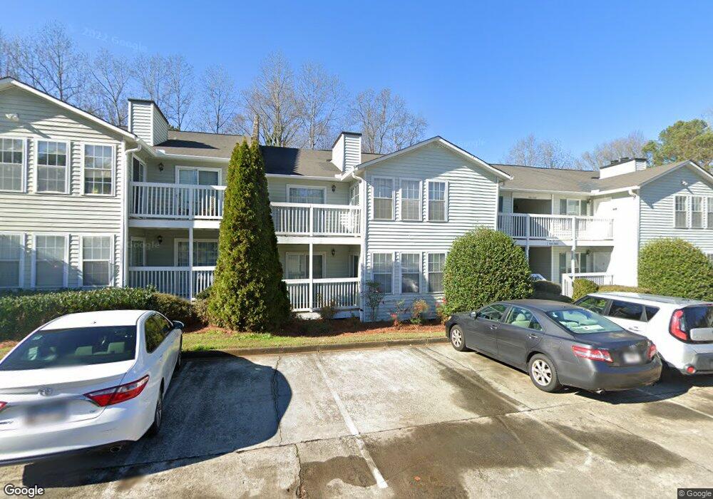
1963 Brian Way Unit 1963 Decatur, GA 30033
Lindmoor Woods-Valley Brook Estates NeighborhoodEstimated Value: $188,000 - $221,000
2
Beds
2
Baths
1,150
Sq Ft
$173/Sq Ft
Est. Value
About This Home
This home is located at 1963 Brian Way Unit 1963, Decatur, GA 30033 and is currently estimated at $198,566, approximately $172 per square foot. 1963 Brian Way Unit 1963 is a home located in DeKalb County with nearby schools including Laurel Ridge Elementary School, Druid Hills Middle School, and Druid Hills High School.
Ownership History
Date
Name
Owned For
Owner Type
Purchase Details
Closed on
Dec 27, 2002
Sold by
Su Chiu T and Su Huang H
Bought by
King Donald A
Current Estimated Value
Home Financials for this Owner
Home Financials are based on the most recent Mortgage that was taken out on this home.
Original Mortgage
$69,600
Outstanding Balance
$32,067
Interest Rate
6.16%
Mortgage Type
New Conventional
Estimated Equity
$166,499
Purchase Details
Closed on
Oct 12, 2000
Sold by
Lu Chih K and Lu Chiu L
Bought by
Su Chiu T and Su Huang H
Purchase Details
Closed on
Mar 31, 1994
Sold by
Melzer Helen A
Bought by
Lu Chih Kao Chiu Lan
Home Financials for this Owner
Home Financials are based on the most recent Mortgage that was taken out on this home.
Original Mortgage
$34,500
Interest Rate
7.26%
Create a Home Valuation Report for This Property
The Home Valuation Report is an in-depth analysis detailing your home's value as well as a comparison with similar homes in the area
Home Values in the Area
Average Home Value in this Area
Purchase History
| Date | Buyer | Sale Price | Title Company |
|---|---|---|---|
| King Donald A | $87,000 | -- | |
| Su Chiu T | $99,000 | -- | |
| Lu Chih Kao Chiu Lan | $46,000 | -- |
Source: Public Records
Mortgage History
| Date | Status | Borrower | Loan Amount |
|---|---|---|---|
| Open | King Donald A | $69,600 | |
| Previous Owner | Lu Chih Kao Chiu Lan | $34,500 |
Source: Public Records
Tax History Compared to Growth
Tax History
| Year | Tax Paid | Tax Assessment Tax Assessment Total Assessment is a certain percentage of the fair market value that is determined by local assessors to be the total taxable value of land and additions on the property. | Land | Improvement |
|---|---|---|---|---|
| 2025 | $3,659 | $82,560 | $20,000 | $62,560 |
| 2024 | $3,748 | $84,560 | $20,000 | $64,560 |
| 2023 | $3,748 | $78,480 | $20,000 | $58,480 |
| 2022 | $3,000 | $67,800 | $9,000 | $58,800 |
| 2021 | $2,522 | $56,920 | $9,000 | $47,920 |
| 2020 | $2,380 | $53,680 | $9,000 | $44,680 |
| 2019 | $1,990 | $44,800 | $9,000 | $35,800 |
| 2018 | $1,360 | $33,720 | $9,000 | $24,720 |
| 2017 | $1,533 | $33,400 | $9,000 | $24,400 |
| 2016 | $1,263 | $28,040 | $9,000 | $19,040 |
| 2014 | $935 | $20,120 | $9,000 | $11,120 |
Source: Public Records
Map
Nearby Homes
- 1931 Brian Way
- 2043 Brian Way Unit 2043
- 1911 Brian Way Unit 1911
- 2071 Brian Way
- 2094 Brian Way
- 3045 Lindon Ln
- 2974 Concord Dr
- 1010 Greenbriar Cir
- 3068 Anthony Dr
- 2386 Lawrenceville Hwy Unit G
- 3038 Flamingo Dr
- 2388 Lawrenceville Hwy Unit D
- 2390 Lawrenceville Hwy Unit K
- 2396 Lawrenceville Hwy Unit F
- 2396 Lawrenceville Hwy Unit V
- 2396 Lawrenceville Hwy
- 3023 Mount Olive Dr
- 2909 Harcourt Dr
- 1967 Brian Way
- 1961 Brian Way
- 1969 Brian Way
- 1957 Brian Way
- 1953 Brian Way Unit 1953
- 1973 Brian Way
- 1973 Brian Way Unit 1973
- 1965 Brian Way
- 1977 Brian Way
- 1951 Brian Way
- 1971 Brian Way
- 1959 Brian Way
- 1979 Brian Way
- 1955 Brian Way Unit 1955
- 1955 Brian Way
- 1955 Brian Way Unit NA
- 1975 Brian Way
- 1983 Brian Way Unit 1983
- 1987 Brian Way Unit 1987
- 1981 Brian Way