1963 Hancock Dr Unit 5524 Hoffman Estates, IL 60169
South Hoffman Estates NeighborhoodEstimated Value: $187,221 - $434,000
3
Beds
--
Bath
1,100
Sq Ft
$256/Sq Ft
Est. Value
About This Home
This home is located at 1963 Hancock Dr Unit 5524, Hoffman Estates, IL 60169 and is currently estimated at $281,305, approximately $255 per square foot. 1963 Hancock Dr Unit 5524 is a home located in Cook County with nearby schools including John Muir Literacy Academy, Dwight D Eisenhower Junior High School, and Hoffman Estates High School.
Ownership History
Date
Name
Owned For
Owner Type
Purchase Details
Closed on
May 30, 1995
Sold by
Hussain Sajjad and Hussain Sabira
Bought by
Barot Jitendra R and Barot Ramaben J
Current Estimated Value
Home Financials for this Owner
Home Financials are based on the most recent Mortgage that was taken out on this home.
Original Mortgage
$55,600
Interest Rate
8.26%
Create a Home Valuation Report for This Property
The Home Valuation Report is an in-depth analysis detailing your home's value as well as a comparison with similar homes in the area
Home Values in the Area
Average Home Value in this Area
Purchase History
| Date | Buyer | Sale Price | Title Company |
|---|---|---|---|
| Barot Jitendra R | $69,500 | -- |
Source: Public Records
Mortgage History
| Date | Status | Borrower | Loan Amount |
|---|---|---|---|
| Closed | Barot Jitendra R | $55,600 |
Source: Public Records
Tax History
| Year | Tax Paid | Tax Assessment Tax Assessment Total Assessment is a certain percentage of the fair market value that is determined by local assessors to be the total taxable value of land and additions on the property. | Land | Improvement |
|---|---|---|---|---|
| 2025 | $3,323 | $20,686 | $3,974 | $16,712 |
| 2024 | $3,323 | $14,144 | $3,613 | $10,531 |
| 2023 | $3,185 | $14,144 | $3,613 | $10,531 |
| 2022 | $3,185 | $14,144 | $3,613 | $10,531 |
| 2021 | $2,580 | $11,032 | $5,690 | $5,342 |
| 2020 | $2,595 | $11,032 | $5,690 | $5,342 |
| 2019 | $2,603 | $12,320 | $5,690 | $6,630 |
| 2018 | $1,260 | $7,299 | $4,967 | $2,332 |
| 2017 | $1,257 | $7,299 | $4,967 | $2,332 |
| 2016 | $1,431 | $7,299 | $4,967 | $2,332 |
| 2015 | $1,003 | $5,746 | $4,335 | $1,411 |
| 2014 | $1,003 | $5,746 | $4,335 | $1,411 |
| 2013 | $958 | $5,746 | $4,335 | $1,411 |
Source: Public Records
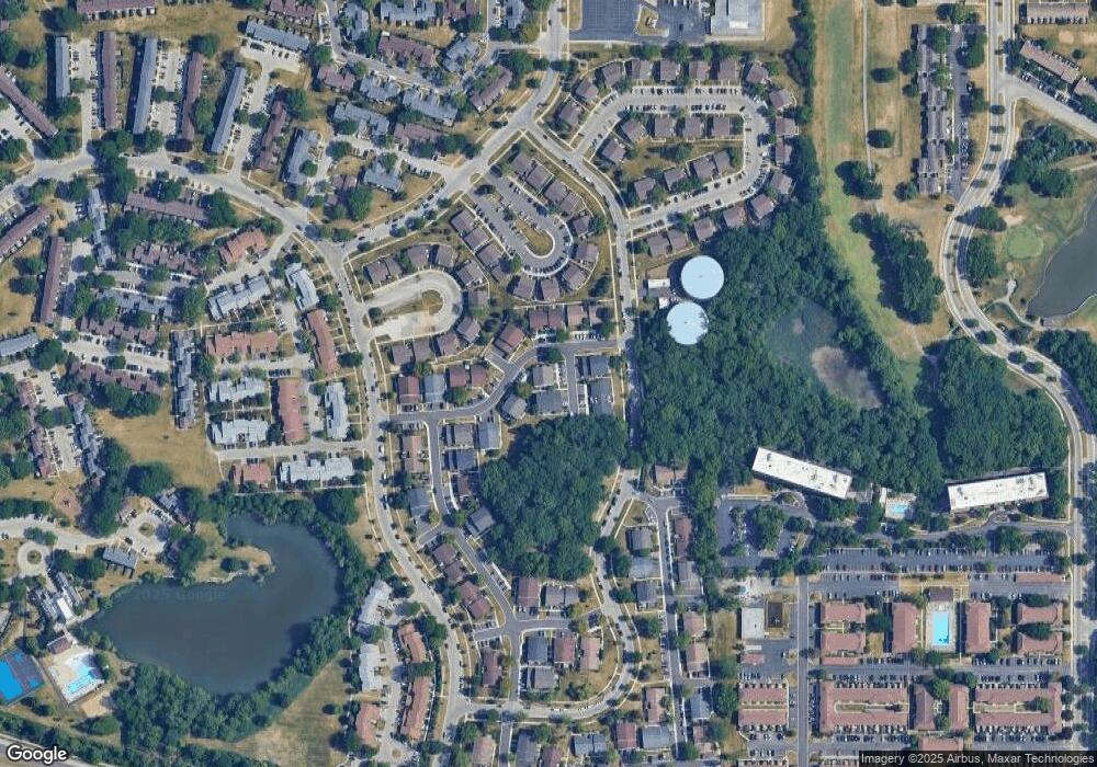
Map
Nearby Homes
- 1840 Huntington Blvd Unit BW511
- 2021 Kensington Ln Unit 3004
- 2027 Kensington Ln Unit 3001
- 2025 Kensington Ln Unit 3002
- 2023 Kensington Ln Unit 3003
- 1659 Islandview Ct
- 1722 Fayette Walk Unit E
- 1724 Fayette Walk Unit J
- 2080 Sutherland Place Unit 1
- 1769 Sessions Walk Unit C
- 1792 Williamsburg Dr
- 1776 Bristol Walk Unit 1776
- 1712 Fayette Walk Unit D
- 1760 Bristol Walk Unit F
- 2051 Kettering Rd Unit 2
- 1587 Brookside Dr
- 1930 Kenilworth Cir Unit E
- 1975 Kenilworth Cir Unit B
- 1933 Williamsburg Dr Unit 1
- 1500 Robin Cir Unit 314
- 1965 Hancock Dr Unit 5521
- 1967 Hancock Dr Unit 5522
- 1969 Hancock Dr Unit 5523
- 1959 Hancock Dr Unit 5513
- 1961 Hancock Dr Unit 5514
- 1955 Hancock Dr Unit 5511
- 1957 Hancock Dr Unit 5512
- 1975 Hancock Dr Unit 5532
- 1975 Hancock Dr Unit 1975
- 1945 Hancock Dr Unit 5494
- 1945 Hancock Dr Unit 1945
- 1973 Hancock Dr Unit 5531
- 1956 Hancock Dr Unit 5462
- 1960 Hancock Dr Unit 5464
- 1948 Hancock Dr Unit 5472
- 1946 Hancock Dr Unit 5471
- 1977 Hancock Dr Unit 5533
- 1949 Hancock Dr Unit 5501
- 1958 Hancock Dr Unit 5463
- 1971 Hancock Dr Unit 5534
Your Personal Tour Guide
Ask me questions while you tour the home.