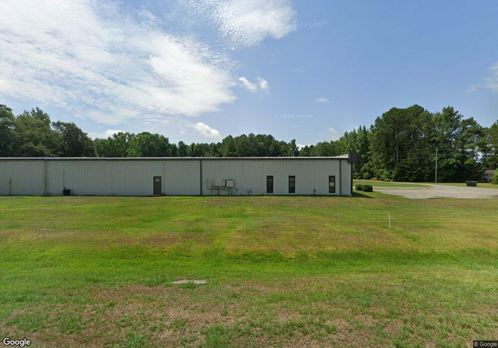
1963 Harry Byrd Hwy Darlington, SC 29532
Estimated Value: $170,000 - $1,745,000
--
Bed
--
Bath
21,100
Sq Ft
$43/Sq Ft
Est. Value
About This Home
This home is located at 1963 Harry Byrd Hwy, Darlington, SC 29532 and is currently estimated at $911,699, approximately $43 per square foot. 1963 Harry Byrd Hwy is a home with nearby schools including Pate Elementary School, Brockington Elementary Magnet School, and Darlington Middle School.
Ownership History
Date
Name
Owned For
Owner Type
Purchase Details
Closed on
Jun 12, 2008
Sold by
Robin Lane Industrial Supply Inc
Bought by
Lane & Mclaughlin Manufacturing Inc
Current Estimated Value
Home Financials for this Owner
Home Financials are based on the most recent Mortgage that was taken out on this home.
Original Mortgage
$498,500
Outstanding Balance
$318,575
Interest Rate
5.97%
Mortgage Type
Purchase Money Mortgage
Estimated Equity
$593,124
Create a Home Valuation Report for This Property
The Home Valuation Report is an in-depth analysis detailing your home's value as well as a comparison with similar homes in the area
Home Values in the Area
Average Home Value in this Area
Purchase History
| Date | Buyer | Sale Price | Title Company |
|---|---|---|---|
| Lane & Mclaughlin Manufacturing Inc | -- | -- |
Source: Public Records
Mortgage History
| Date | Status | Borrower | Loan Amount |
|---|---|---|---|
| Open | Lane & Mclaughlin Manufacturing Inc | $498,500 | |
| Closed | Lane & Mclaughlin Manufacturing Inc | $498,500 |
Source: Public Records
Tax History Compared to Growth
Tax History
| Year | Tax Paid | Tax Assessment Tax Assessment Total Assessment is a certain percentage of the fair market value that is determined by local assessors to be the total taxable value of land and additions on the property. | Land | Improvement |
|---|---|---|---|---|
| 2024 | $7,114 | $630 | $0 | $0 |
| 2023 | $4,225 | $630 | $0 | $0 |
| 2022 | $4,225 | $630 | $0 | $0 |
| 2021 | $4,225 | $630 | $0 | $0 |
| 2020 | $10,203 | $630 | $0 | $0 |
| 2019 | $190 | $630 | $0 | $0 |
| 2018 | $191 | $630 | $630 | $0 |
| 2017 | $183 | $630 | $630 | $0 |
| 2016 | $173 | $630 | $630 | $0 |
| 2014 | -- | $0 | $0 | $0 |
| 2013 | -- | $0 | $0 | $0 |
Source: Public Records
Map
Nearby Homes
- TBD Hwy 151 Hwy
- 2224 Hwy 151 Hwy
- 2653 Iseman Rd
- 619 Franway Dr
- 1316 Sunset Dr
- 101 Andy Dr
- 2064 Eastpark
- 0 High Hill Rd
- TBD Bryant St
- 1111 Syracuse St
- 2303 N Governor Williams Hwy
- 1743 Rhodes Community Rd
- 1122 Daisy St
- 640 Stanley Cir
- 0 Stanley Cir
- TBD N Governor Williams Hwy 4 24ac
- 608 Wood Duck Dr
- 527 Stanley Cir
- TBD Lamar Hwy
- 302 McCowns Millpond Rd
- 1960 Harry Byrd Hwy
- 1964 Harry Byrd Hwy
- 1976 Harry Byrd Hwy
- 112 Potato House Rd
- 2009 Harry Byrd Hwy
- 1920 Harry Byrd Hwy
- 12 Knotty Pine Rd
- 108 Knotty Pine Rd
- 132 Knotty Pine Rd
- 2024 Harry Byrd Hwy
- 2029 Harry Byrd Hwy
- 144 Knotty Pine Rd
- 220 Potato House Rd
- 2209 Phoebe Ln
- 2048 Harry Byrd Hwy
- 2225 Phoebe Ln
- 2213 Phoebe Ln
- 2233 Phoebe Ln
- 2233 Phoebe Ln
- 2065 Harry Byrd Hwy