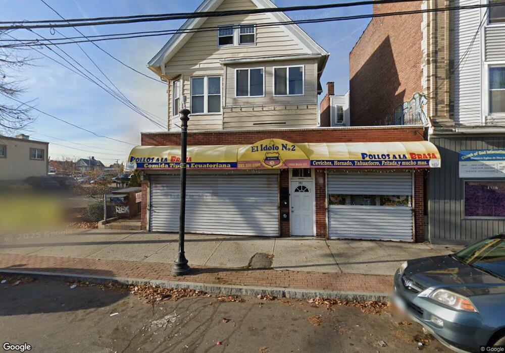
1963 Main St Bridge Port, CT 06604
The Hollow NeighborhoodEstimated Value: $708,770
--
Bed
--
Bath
--
Sq Ft
5,663
Sq Ft Lot
About This Home
This home is located at 1963 Main St, Bridge Port, CT 06604 and is currently estimated at $708,770. 1963 Main St is a home located in Fairfield County with nearby schools including Bassick High School, Catholic Academy of Bridgeport-St. Raphael Academy, and Catholic Academy of Bridgeport-St. Augustine Academy.
Ownership History
Date
Name
Owned For
Owner Type
Purchase Details
Closed on
Nov 18, 2022
Sold by
Good Sell Associates Llc
Bought by
Campoverde Romel M and Sarmieneto Veronica
Current Estimated Value
Purchase Details
Closed on
Jan 23, 2017
Sold by
Donnelly Eugene
Bought by
921 East Broadway Llc
Purchase Details
Closed on
Apr 6, 2004
Sold by
Comerford Carmen
Bought by
Montanaro Michael
Purchase Details
Closed on
Mar 17, 1998
Sold by
Menillo Anthony
Bought by
Comerford Carmen M
Home Financials for this Owner
Home Financials are based on the most recent Mortgage that was taken out on this home.
Original Mortgage
$46,800
Interest Rate
7.03%
Mortgage Type
Commercial
Create a Home Valuation Report for This Property
The Home Valuation Report is an in-depth analysis detailing your home's value as well as a comparison with similar homes in the area
Home Values in the Area
Average Home Value in this Area
Purchase History
| Date | Buyer | Sale Price | Title Company |
|---|---|---|---|
| Campoverde Romel M | $500,000 | None Available | |
| Campoverde Romel M | $500,000 | None Available | |
| 921 East Broadway Llc | -- | -- | |
| 921 East Broadway Llc | -- | -- | |
| Montanaro Michael | $170,000 | -- | |
| Montanaro Michael | $170,000 | -- | |
| Comerford Carmen M | $72,000 | -- | |
| Comerford Carmen M | $72,000 | -- |
Source: Public Records
Mortgage History
| Date | Status | Borrower | Loan Amount |
|---|---|---|---|
| Previous Owner | Comerford Carmen M | $46,800 |
Source: Public Records
Tax History Compared to Growth
Tax History
| Year | Tax Paid | Tax Assessment Tax Assessment Total Assessment is a certain percentage of the fair market value that is determined by local assessors to be the total taxable value of land and additions on the property. | Land | Improvement |
|---|---|---|---|---|
| 2025 | $11,206 | $257,910 | $86,310 | $171,600 |
| 2024 | $11,206 | $257,910 | $86,310 | $171,600 |
| 2023 | $11,206 | $257,910 | $86,310 | $171,600 |
| 2022 | $11,206 | $257,910 | $86,310 | $171,600 |
| 2021 | $11,206 | $257,910 | $86,310 | $171,600 |
| 2020 | $12,892 | $238,780 | $70,690 | $168,090 |
| 2019 | $12,892 | $238,780 | $70,690 | $168,090 |
| 2018 | $12,982 | $238,780 | $70,690 | $168,090 |
| 2017 | $12,982 | $238,780 | $70,690 | $168,090 |
| 2016 | $12,982 | $238,780 | $70,690 | $168,090 |
| 2015 | $11,144 | $264,070 | $84,820 | $179,250 |
| 2014 | $11,144 | $264,070 | $84,820 | $179,250 |
Source: Public Records
Map
Nearby Homes
- 78 Fairmount Ave
- 90 Tom Thumb St
- 76 Porter St
- 318 Center St
- 191 Oak St
- 2395 Main St Unit 2397
- 31 Taft Ave
- 390 Charles St Unit 106
- 183 Calhoun Ave
- 139 Highland Ave Unit 143
- 724 Capitol Ave Unit 726
- 75 Sanford Ave
- 152 River St
- 289 Harriet St
- 5 William Place
- 79 William St
- 40 Jane St
- 39 Jane St
- 120 Milne St Unit 122
- 604 William St
- 1971 Main St
- 1969 Main St
- 35 Goodsell St
- 1985 Main St
- 1985 Main St Unit 1989
- 47 Goodsell St
- 1997 Main St
- 160 Hurd Ave
- 1992 Main St
- 358 Grand St Unit 360
- 358 Grand St Unit 2
- 358 Grand St Unit 2ND Right
- 358 Grand St Unit 2ND
- 358 Grand St Unit 2Fl
- 28 Goodsell St
- 93 Commercial St Unit 95
- 2014 Main St Unit 22
- 2014 Main St Unit 23
- 2027 Main St
- 2012 Main St Unit 3