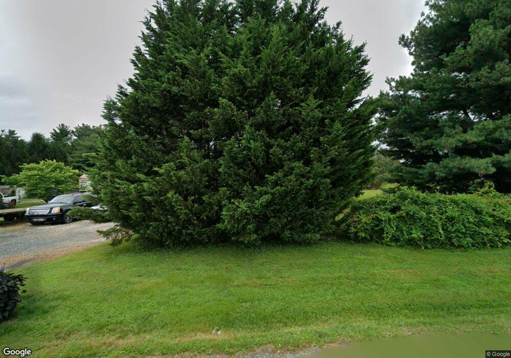
1963 Red Toad Rd Port Deposit, MD 21904
Estimated Value: $383,684 - $467,000
--
Bed
2
Baths
1,792
Sq Ft
$234/Sq Ft
Est. Value
About This Home
This home is located at 1963 Red Toad Rd, Port Deposit, MD 21904 and is currently estimated at $419,671, approximately $234 per square foot. 1963 Red Toad Rd is a home located in Cecil County with nearby schools including Bainbridge Elementary School, Perryville Middle School, and Perryville High School.
Ownership History
Date
Name
Owned For
Owner Type
Purchase Details
Closed on
Mar 7, 2003
Sold by
Plott Michael A
Bought by
Plott Michael A and Plott Linda
Current Estimated Value
Purchase Details
Closed on
Oct 13, 1998
Sold by
Plott Michael A and Dalton Joann
Bought by
Plott Michael A
Purchase Details
Closed on
Nov 17, 1994
Sold by
Reed
Bought by
Plott Michael A
Home Financials for this Owner
Home Financials are based on the most recent Mortgage that was taken out on this home.
Original Mortgage
$70,000
Interest Rate
8.9%
Create a Home Valuation Report for This Property
The Home Valuation Report is an in-depth analysis detailing your home's value as well as a comparison with similar homes in the area
Home Values in the Area
Average Home Value in this Area
Purchase History
| Date | Buyer | Sale Price | Title Company |
|---|---|---|---|
| Plott Michael A | -- | -- | |
| Plott Michael A | -- | -- | |
| Plott Michael A | $110,000 | -- |
Source: Public Records
Mortgage History
| Date | Status | Borrower | Loan Amount |
|---|---|---|---|
| Previous Owner | Plott Michael A | $70,000 | |
| Closed | Plott Michael A | -- |
Source: Public Records
Tax History Compared to Growth
Tax History
| Year | Tax Paid | Tax Assessment Tax Assessment Total Assessment is a certain percentage of the fair market value that is determined by local assessors to be the total taxable value of land and additions on the property. | Land | Improvement |
|---|---|---|---|---|
| 2025 | $3,230 | $289,667 | $0 | $0 |
| 2024 | $2,619 | $265,833 | $0 | $0 |
| 2023 | $2,033 | $242,000 | $77,700 | $164,300 |
| 2022 | $2,725 | $236,633 | $0 | $0 |
| 2021 | $2,670 | $231,267 | $0 | $0 |
| 2020 | $2,666 | $225,900 | $77,700 | $148,200 |
| 2019 | $2,601 | $220,333 | $0 | $0 |
| 2018 | $2,537 | $214,767 | $0 | $0 |
| 2017 | $2,473 | $209,200 | $0 | $0 |
| 2016 | $2,276 | $205,067 | $0 | $0 |
| 2015 | $2,276 | $200,933 | $0 | $0 |
| 2014 | $2,421 | $196,800 | $0 | $0 |
Source: Public Records
Map
Nearby Homes
- 118 Oleary Ln
- 148 Sharon St
- 91 Bard Cameron Rd
- 74 Ayers Dr
- 341 Goosemar Rd
- 1746 Hopewell Rd
- 26 Orchard Dr
- 145 Bethel Springs Dr
- 116 Bethel Springs Dr
- 424 Bailiff Rd
- 327 Barney Ct
- 55 Marian Dr
- 2335 Theodore Rd
- Frankford Plan at Stoney Creek
- Raleigh Plan at Stoney Creek
- Salem Plan at Stoney Creek
- Nottingham Plan at Stoney Creek
- Rehoboth Plan at Stoney Creek
- Roosevelt Plan at Stoney Creek
- Bristol II Plan at Stoney Creek
- 1939 Red Toad Rd
- 66 Gravel Pit Rd
- 50 Gravel Pit Rd
- 1239 Theodore Rd
- 1977 Red Toad Rd
- 1185 Theodore Rd
- 51 Gravel Pit Rd
- 59 Gravel Pit Rd
- 43 Gravel Pit Rd
- 1232 Theodore Rd
- 18 Gravel Pit Rd
- 1899 Gravel Pit Rd
- 1899 Red Toad Rd
- 1988 Red Toad Rd
- 1906 Red Toad Rd
- 1272 Theodore Rd
- 1150 Theodore Rd
- 11 Gravel Pit Rd
- 1155 Theodore Rd
- 5 Gravel Pit Rd
