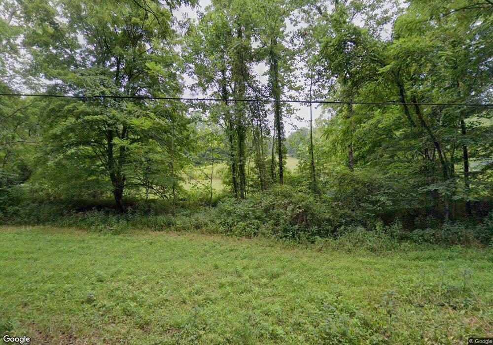
1963 Spud Run Rd Chillicothe, OH 45601
Estimated Value: $349,000 - $500,000
3
Beds
2
Baths
3,628
Sq Ft
$117/Sq Ft
Est. Value
About This Home
This home is located at 1963 Spud Run Rd, Chillicothe, OH 45601 and is currently estimated at $425,299, approximately $117 per square foot. 1963 Spud Run Rd is a home located in Ross County with nearby schools including Southeastern Elementary School, Southeastern Middle School, and Southeastern High School.
Ownership History
Date
Name
Owned For
Owner Type
Purchase Details
Closed on
Nov 12, 2020
Sold by
Ball David A and Ball Karen Y
Bought by
Ball David A and Ball Karen Y
Current Estimated Value
Purchase Details
Closed on
Jul 28, 2020
Sold by
Countryme Land Specialits Ltd
Bought by
Ball David A and Ball Karen Y
Home Financials for this Owner
Home Financials are based on the most recent Mortgage that was taken out on this home.
Original Mortgage
$186,500
Outstanding Balance
$165,439
Interest Rate
3%
Mortgage Type
New Conventional
Estimated Equity
$259,860
Purchase Details
Closed on
Apr 30, 2019
Sold by
Countrytyme Realty Llc
Bought by
Countrytyme Land Specialists Ltd
Purchase Details
Closed on
Nov 30, 2018
Sold by
Grimes Michael Howard and Grimes Margaret E
Bought by
Countrytyme Land Specialists Ltd
Create a Home Valuation Report for This Property
The Home Valuation Report is an in-depth analysis detailing your home's value as well as a comparison with similar homes in the area
Home Values in the Area
Average Home Value in this Area
Purchase History
| Date | Buyer | Sale Price | Title Company |
|---|---|---|---|
| Ball David A | -- | None Available | |
| Ball David A | $300,000 | None Available | |
| Countrytyme Land Specialists Ltd | -- | None Available | |
| Countrytyne Realty Llc | -- | None Available | |
| Countrytyme Land Specialists Ltd | $498,000 | Title Co Ltd |
Source: Public Records
Mortgage History
| Date | Status | Borrower | Loan Amount |
|---|---|---|---|
| Open | Ball David A | $186,500 |
Source: Public Records
Tax History Compared to Growth
Tax History
| Year | Tax Paid | Tax Assessment Tax Assessment Total Assessment is a certain percentage of the fair market value that is determined by local assessors to be the total taxable value of land and additions on the property. | Land | Improvement |
|---|---|---|---|---|
| 2024 | $2,413 | $74,640 | $4,270 | $70,370 |
| 2023 | $2,413 | $78,430 | $8,060 | $70,370 |
| 2022 | $2,349 | $74,720 | $8,060 | $66,660 |
| 2021 | $2,161 | $60,840 | $7,010 | $53,830 |
| 2020 | $2,180 | $60,840 | $7,010 | $53,830 |
| 2019 | $2,945 | $121,870 | $68,040 | $53,830 |
| 2018 | $2,748 | $98,550 | $49,560 | $48,990 |
| 2017 | $2,745 | $98,370 | $49,560 | $48,810 |
| 2016 | $2,673 | $98,370 | $49,560 | $48,810 |
| 2015 | $2,442 | $94,270 | $45,460 | $48,810 |
| 2014 | $2,382 | $94,270 | $45,460 | $48,810 |
| 2013 | $2,393 | $94,270 | $45,460 | $48,810 |
Source: Public Records
Map
Nearby Homes
- 822 Chapel Creek Rd
- 149 Brown Hollow Rd
- 2998 Dry Run Rd
- 0 State Route 327 Unit 225031635
- 1959 Chapel Creek Rd
- 0 Luckhart Rd
- 3661 Lick Run Rd
- 1086 Thornton-Spung Rd
- 26702 E Fork Rd
- 7135 Walnut Creek Rd
- 23411 Ohio 327
- 0 Highway 50
- 23258 Ohio 327
- 2133 Dearth Rd
- 23769 State Route 327
- 23858 State Route 327
- 0 E Fork Rd
- 4 Sams Creek Rd
- 22916 Sams Creek Rd
- 0 Sam's Creek Rd Unit 225006076
- 2165 Spud Run Rd
- 2111 Spud Run Rd
- 2099 Spud Run Rd
- 2079 Spud Run Rd
- 1830 Spud Run Rd
- 2083 Spud Run Rd
- 1746 Spud Run Rd
- 1725 Spud Run Rd
- 1665 Spud Run Rd
- 181 Garnes Rd
- 1557 Spud Run Rd
- 263 Ward Rd
- 265 Ward Rd
- 276 Ward Rd
- 1412 Spud Run Rd
- 945 Brady Hill Rd
- 268 Ward Rd
- 1362 Spud Run Rd
- 1296 Spud Run Rd
- 0 Spud Run Rd
