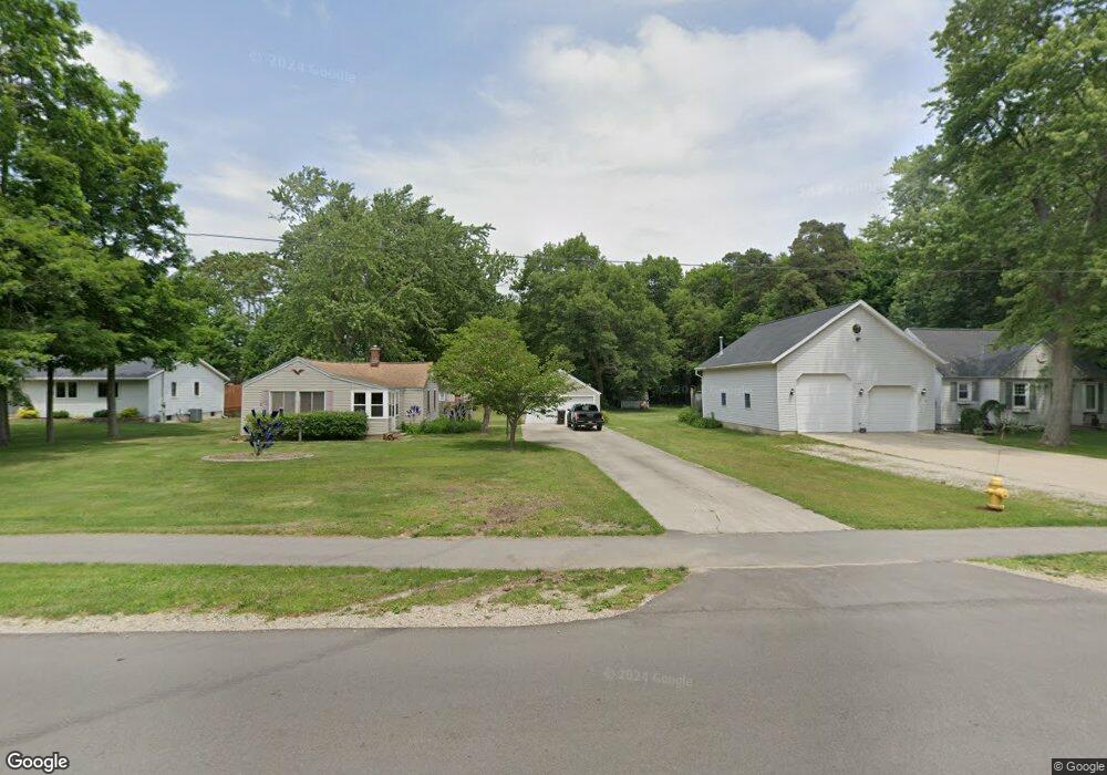
1963 W 32nd St Holland, MI 49423
Estimated Value: $245,882 - $289,000
--
Bed
--
Bath
888
Sq Ft
$310/Sq Ft
Est. Value
About This Home
This home is located at 1963 W 32nd St, Holland, MI 49423 and is currently estimated at $274,971, approximately $309 per square foot. 1963 W 32nd St is a home located in Ottawa County with nearby schools including Holland High School, Pine Ridge Christian School, and Calvary Schools of Holland - Plasman Campus.
Ownership History
Date
Name
Owned For
Owner Type
Purchase Details
Closed on
Aug 2, 2007
Sold by
Knoll Jon Alan and Knoll Linda Kay
Bought by
Knoll Jon Alan
Current Estimated Value
Home Financials for this Owner
Home Financials are based on the most recent Mortgage that was taken out on this home.
Original Mortgage
$25,000
Interest Rate
6.71%
Mortgage Type
Stand Alone Second
Create a Home Valuation Report for This Property
The Home Valuation Report is an in-depth analysis detailing your home's value as well as a comparison with similar homes in the area
Home Values in the Area
Average Home Value in this Area
Purchase History
| Date | Buyer | Sale Price | Title Company |
|---|---|---|---|
| Knoll Jon Alan | -- | American Title Inc |
Source: Public Records
Mortgage History
| Date | Status | Borrower | Loan Amount |
|---|---|---|---|
| Closed | Knoll Jon Alan | $25,000 |
Source: Public Records
Tax History Compared to Growth
Tax History
| Year | Tax Paid | Tax Assessment Tax Assessment Total Assessment is a certain percentage of the fair market value that is determined by local assessors to be the total taxable value of land and additions on the property. | Land | Improvement |
|---|---|---|---|---|
| 2025 | $1,540 | $122,700 | $0 | $0 |
| 2024 | $1,003 | $101,900 | $0 | $0 |
| 2023 | $963 | $87,900 | $0 | $0 |
| 2022 | $1,378 | $78,800 | $0 | $0 |
| 2021 | $1,716 | $70,800 | $0 | $0 |
| 2020 | $1,741 | $68,200 | $0 | $0 |
| 2019 | $1,793 | $63,900 | $0 | $0 |
| 2018 | $1,701 | $51,700 | $0 | $0 |
| 2017 | $1,713 | $51,700 | $0 | $0 |
| 2016 | $1,725 | $44,600 | $0 | $0 |
| 2015 | -- | $40,600 | $0 | $0 |
| 2014 | -- | $42,200 | $0 | $0 |
Source: Public Records
Map
Nearby Homes
- 1968 S Shorewood Ln Unit 14
- 1991 N Shorewood Ln Unit 4
- The Andover 3 Plan at Shorewood Lane
- The Andover 2 Plan at Shorewood Lane
- Andover Plan at Shorewood Lane
- 1981 N Shorewood Ln Unit 6
- 1995 N Shorewood Ln Unit 2
- 1982 S Shore Dr Unit 2
- 1992 S Shore Dr Unit 2
- 1992 S Shore Dr Unit 3
- 1933 S Shore Dr
- 6579 Partridge Ln
- 6621 Forest Beach Dr
- 1761 S Shore Dr
- 1704 Summit St
- 4679 Forest Ridge Dr Unit 29
- 645 Harrington Ave
- 2312 Maksaba Trail
- 4681 Forest Ridge Dr
- Lot 45 Valleywood Ct
- 1967 W 32nd St
- 1953 W 32nd St
- 1969 W 32nd St
- 1971 W 32nd St
- 1943 W 32nd St
- 733 E Shorewood Ln Unit 12
- 1968 W 32nd St
- 1985 W 32nd St
- 1978 W 32nd St
- 1933 W 32nd St
- 1993 W 32nd St
- 747 1st Ave
- 1968 S Shorewood Ln
- 755 1st Ave
- 1994 W 32nd St
- 1930 W 32nd St
- 725 1st Ave
- 1923 W 32nd St
- 2000 W 32nd St
- 1913 W 32nd St