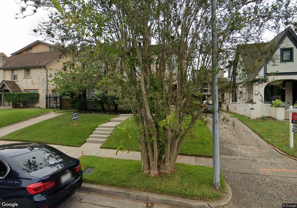
1963 W Mckinney St Unit 2 Houston, TX 77019
Montrose NeighborhoodEstimated Value: $681,000 - $1,353,000
2
Beds
1
Bath
2,524
Sq Ft
$371/Sq Ft
Est. Value
About This Home
This home is located at 1963 W Mckinney St Unit 2, Houston, TX 77019 and is currently estimated at $935,231, approximately $370 per square foot. 1963 W Mckinney St Unit 2 is a home located in Harris County with nearby schools including Gregory-Lincoln Ed Center, Wharton Dual Language Academy, and Lamar High School.
Ownership History
Date
Name
Owned For
Owner Type
Purchase Details
Closed on
Sep 23, 2010
Sold by
Anthony Timothy A
Bought by
Anthony Timothy A and Calvin C Upton V
Current Estimated Value
Purchase Details
Closed on
Aug 15, 1995
Sold by
Greenlee John B
Bought by
Daughty Lisa H
Create a Home Valuation Report for This Property
The Home Valuation Report is an in-depth analysis detailing your home's value as well as a comparison with similar homes in the area
Home Values in the Area
Average Home Value in this Area
Purchase History
| Date | Buyer | Sale Price | Title Company |
|---|---|---|---|
| Anthony Timothy A | -- | None Available | |
| Anthony Timothy A | -- | None Available | |
| Daughty Lisa H | -- | Stewart Title | |
| Daughty Lisa H | -- | Stewart Title |
Source: Public Records
Tax History Compared to Growth
Tax History
| Year | Tax Paid | Tax Assessment Tax Assessment Total Assessment is a certain percentage of the fair market value that is determined by local assessors to be the total taxable value of land and additions on the property. | Land | Improvement |
|---|---|---|---|---|
| 2025 | $12,009 | $777,176 | $475,000 | $302,176 |
| 2024 | $12,009 | $768,000 | $475,000 | $293,000 |
| 2023 | $12,009 | $810,662 | $475,000 | $335,662 |
| 2022 | $14,385 | $653,301 | $400,000 | $253,301 |
| 2021 | $14,217 | $610,000 | $400,000 | $210,000 |
| 2020 | $14,530 | $600,000 | $400,000 | $200,000 |
| 2019 | $16,444 | $649,954 | $400,000 | $249,954 |
| 2018 | $11,717 | $590,758 | $350,000 | $240,758 |
| 2017 | $14,589 | $590,758 | $350,000 | $240,758 |
| 2016 | $13,262 | $590,758 | $350,000 | $240,758 |
| 2015 | $8,872 | $476,823 | $250,000 | $226,823 |
| 2014 | $8,872 | $437,845 | $250,000 | $187,845 |
Source: Public Records
Map
Nearby Homes
- 1935 W Mckinney St
- 1004 Stanford St Unit A
- 1013 Crocker St
- 1016 Crocker St
- 1210 Crocker St
- 407 W Polk St
- 508 W Clay St
- 403 W Polk St
- 1020 Columbus St
- 605 W Clay St
- 314 W Clay St
- 614 W Bell St Unit B
- 1306 Crocker St
- 23 Robita St
- 11 Robita St
- 402 W Bell St
- 509 W Bell St
- 1402 Crocker St
- 1415 Crocker St
- 1222 Marconi St
- 1963 W Mckinney St
- 1971 W Mckinney St
- 1969 W Mckinney St
- 1959 W Mckinney St
- 1959 W Mckinney St Unit 1
- 1959 W Mckinney St Unit A
- 1973 W Mckinney St
- 1964 W Lamar St
- 1955 W Mckinney St
- 1973 W Mc Kinney St
- 1974 W Mckinney St
- 1974 W Mckinney St Unit A
- 1960 W Lamar St
- 1970 W Lamar St
- 1956 W Lamar St
- 1972 W Lamar St
- 1972 W Lamar St Unit B
- 1972 W Lamar St Unit 1
- 1972 W Lamar St Unit 2
- 1966 W Mckinney St