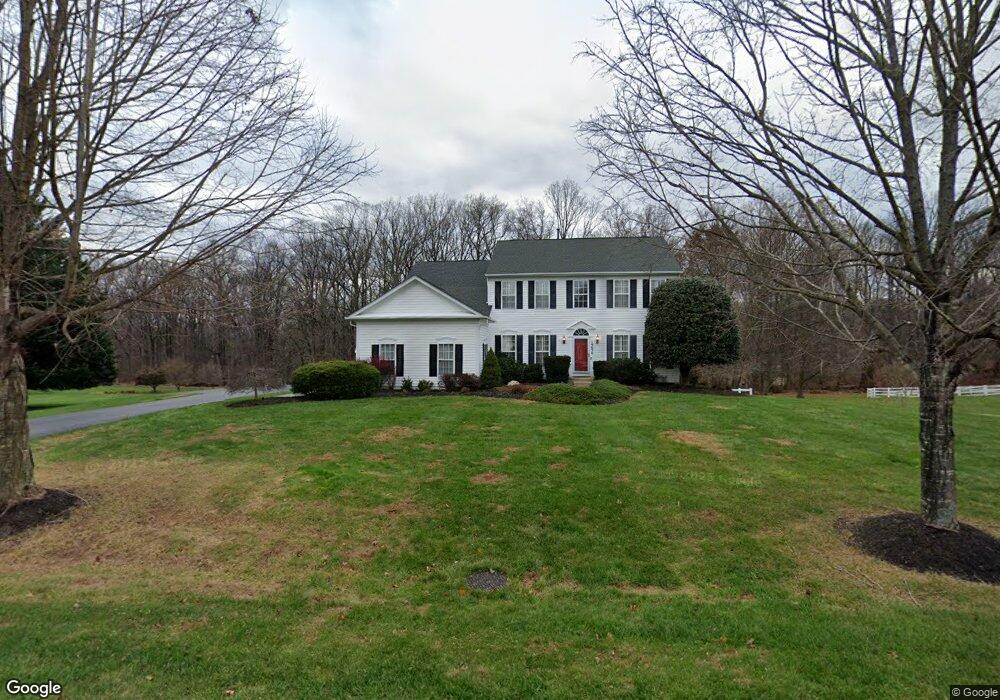
19630 Hoover Farm Dr Gaithersburg, MD 20882
Estimated Value: $898,000 - $984,000
4
Beds
4
Baths
3,196
Sq Ft
$292/Sq Ft
Est. Value
About This Home
This home is located at 19630 Hoover Farm Dr, Gaithersburg, MD 20882 and is currently estimated at $934,482, approximately $292 per square foot. 19630 Hoover Farm Dr is a home located in Montgomery County with nearby schools including Laytonsville Elementary School, Gaithersburg Middle School, and Gaithersburg High School.
Ownership History
Date
Name
Owned For
Owner Type
Purchase Details
Closed on
Oct 20, 2009
Sold by
Sorrentino Mark D and Sorrentino A K
Bought by
Cleveland Paul Edward and Cleveland Holly Shank
Current Estimated Value
Home Financials for this Owner
Home Financials are based on the most recent Mortgage that was taken out on this home.
Original Mortgage
$556,000
Interest Rate
5.14%
Mortgage Type
New Conventional
Purchase Details
Closed on
Jul 30, 1999
Sold by
Pulte Home Corp
Bought by
Sorrentino Mark D and Sorrentino A K
Create a Home Valuation Report for This Property
The Home Valuation Report is an in-depth analysis detailing your home's value as well as a comparison with similar homes in the area
Home Values in the Area
Average Home Value in this Area
Purchase History
| Date | Buyer | Sale Price | Title Company |
|---|---|---|---|
| Cleveland Paul Edward | $695,000 | -- | |
| Sorrentino Mark D | $403,835 | -- |
Source: Public Records
Tax History Compared to Growth
Tax History
| Year | Tax Paid | Tax Assessment Tax Assessment Total Assessment is a certain percentage of the fair market value that is determined by local assessors to be the total taxable value of land and additions on the property. | Land | Improvement |
|---|---|---|---|---|
| 2025 | $8,230 | $712,600 | -- | -- |
| 2024 | $8,230 | $664,200 | $0 | $0 |
| 2023 | $6,949 | $615,800 | $258,700 | $357,100 |
| 2022 | $6,906 | $602,400 | $0 | $0 |
| 2021 | $6,519 | $589,000 | $0 | $0 |
| 2020 | $6,519 | $575,600 | $258,700 | $316,900 |
| 2019 | $6,500 | $575,600 | $258,700 | $316,900 |
| 2018 | $6,503 | $575,600 | $258,700 | $316,900 |
| 2017 | $7,126 | $620,600 | $0 | $0 |
| 2016 | $6,941 | $598,233 | $0 | $0 |
| 2015 | $6,941 | $575,867 | $0 | $0 |
| 2014 | $6,941 | $553,500 | $0 | $0 |
Source: Public Records
Map
Nearby Homes
- 7103 Cliff Pine Dr
- 16103 Connors Way
- 16318 Connors Way Unit 14
- 6401 Dorsey Rd
- 19607 Kildonan Dr
- 7310 Torran Rocks Way
- 7509 Brenish Dr
- 6001 Riggs Rd
- 20937 Brooke Knolls Rd
- 7510 Filbert Terrace
- 18900 Woodway Dr
- 5800 Granby Rd
- 7419 Lake Katrine Terrace
- 7456 Brenish Dr
- 26 Filbert Ct
- 7507 Elioak Terrace
- 20303 Battery Bend Place
- 7105 Stratos Ln
- 5505 Granby Rd
- 18709 Ashbourne Place
- 19628 Hoover Farm Dr
- 19629 Hoover Farm Dr
- 19627 Hoover Farm Dr
- 6403 Holland Farm Ct
- 19631 Hoover Farm Dr
- 19634 Hoover Farm Dr
- 6444 Stream Valley Way
- 6314 Holland Meadow Ln
- 19625 Hoover Farm Dr
- 6400 Holland Farm Ct
- 6440 Stream Valley Way
- 19636 Hoover Farm Dr
- 6312 Holland Meadow Ln
- 6402 Holland Farm Ct
- 6315 Holland Meadow Ln
- 19623 Hoover Farm Dr
- 6310 Holland Meadow Ln
- 6430 Stream Valley Way
- 19624 Hoover Farm Dr
- 6406 Holland Farm Ct