19630 Serenity Ln Bristol, VA 24202
Estimated Value: $493,775 - $548,000
3
Beds
4
Baths
2,864
Sq Ft
$182/Sq Ft
Est. Value
About This Home
This home is located at 19630 Serenity Ln, Bristol, VA 24202 and is currently estimated at $521,694, approximately $182 per square foot. 19630 Serenity Ln is a home located in Washington County with nearby schools including Valley Institute Elementary School, Wallace Middle School, and John S. Battle High School.
Ownership History
Date
Name
Owned For
Owner Type
Purchase Details
Closed on
Mar 11, 2022
Sold by
Fleming Arthur
Bought by
Austin John Steven and Austin Stephanie Renee
Current Estimated Value
Home Financials for this Owner
Home Financials are based on the most recent Mortgage that was taken out on this home.
Original Mortgage
$220,500
Outstanding Balance
$204,751
Interest Rate
3.55%
Mortgage Type
New Conventional
Estimated Equity
$316,943
Create a Home Valuation Report for This Property
The Home Valuation Report is an in-depth analysis detailing your home's value as well as a comparison with similar homes in the area
Home Values in the Area
Average Home Value in this Area
Purchase History
| Date | Buyer | Sale Price | Title Company |
|---|---|---|---|
| Austin John Steven | -- | None Listed On Document |
Source: Public Records
Mortgage History
| Date | Status | Borrower | Loan Amount |
|---|---|---|---|
| Open | Austin John Steven | $220,500 |
Source: Public Records
Tax History Compared to Growth
Tax History
| Year | Tax Paid | Tax Assessment Tax Assessment Total Assessment is a certain percentage of the fair market value that is determined by local assessors to be the total taxable value of land and additions on the property. | Land | Improvement |
|---|---|---|---|---|
| 2025 | $1,655 | $434,000 | $42,700 | $391,300 |
| 2024 | $1,655 | $275,900 | $40,100 | $235,800 |
| 2023 | $1,655 | $275,900 | $40,100 | $235,800 |
| 2022 | $1,655 | $275,900 | $40,100 | $235,800 |
| 2021 | $1,655 | $275,900 | $40,100 | $235,800 |
| 2019 | $1,641 | $260,400 | $40,100 | $220,300 |
| 2018 | $1,641 | $260,400 | $40,100 | $220,300 |
| 2017 | $1,641 | $260,400 | $40,100 | $220,300 |
| 2016 | $1,561 | $247,800 | $40,100 | $207,700 |
| 2015 | $1,561 | $247,800 | $40,100 | $207,700 |
| 2014 | $1,561 | $247,800 | $40,100 | $207,700 |
Source: Public Records
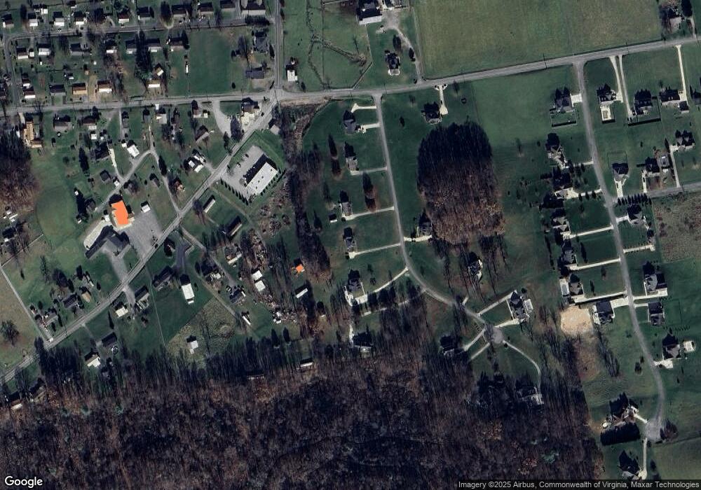
Map
Nearby Homes
- 19796 Spur Strap Rd
- Tbd Snaffle Bit Ln
- 19374 Benhams Rd
- TBD Benhams Rd
- 8492 Reedy Creek Rd
- 8464 Reedy Creek Rd
- 10357 Goldspier Dr
- 10292 Redwood Cir
- 21524 Benhams Rd
- Tbd Old Airport Rd
- 12338 Reedy Creek Rd
- 22126 Pinebrook Dr
- 21527 Campground Rd
- 390 Wallace Pike
- 200 Henrys Ln
- Tbd Wallace Pike
- TBD Highway Fifty-Eight
- 377 Elbert Way
- 11+ Acres Campground Rd
- 311 Brookdale Cir
- 19610 Serenity Ln
- 19638 Serenity Ln
- 19625 Serenity Ln
- 19590 Serenity Ln
- 19644 Serenity Ln
- 19823 Benhams Rd
- 19570 Serenity Ln
- 10127 Trading Post Ln
- TBD Tbd Serenity Ln
- 19839 Benhams Rd
- 19847 Benhams Rd
- 19641 Serenity Ln
- 19807 Benhams Rd
- 10 Serenity Ln
- 1,2,3,12 Serenity Ln
- 0 Serenity Ln
- 10124 Trading Post Ln
- 11 Serenity Ln
- 9 Serenity Ln
- 19662 Serenity Ln