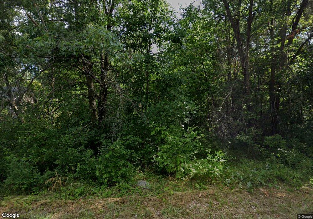
19632 Heights Circle Dr Big Rapids, MI 49307
Estimated Value: $13,000 - $72,000
--
Bed
--
Bath
--
Sq Ft
0.9
Acres
About This Home
This home is located at 19632 Heights Circle Dr, Big Rapids, MI 49307 and is currently estimated at $42,500. 19632 Heights Circle Dr is a home located in Mecosta County with nearby schools including Morley Stanwood Elementary School, Morley Stanwood Middle School, and Morley Stanwood High School.
Ownership History
Date
Name
Owned For
Owner Type
Purchase Details
Closed on
Aug 11, 2021
Sold by
Hayward Shawn M and Hayward Cynthia M
Bought by
Hayward John Leroy and Richard Douglas Dennis Iii
Current Estimated Value
Purchase Details
Closed on
Jul 30, 2021
Sold by
Stout Gary W and Stout Carolyn B
Bought by
Hayward Shawn M and Hayward Cynthia M
Purchase Details
Closed on
Sep 25, 2014
Sold by
Stout Duane C and Stout Donna
Bought by
Stout Gary W and Stout Carolyn B
Create a Home Valuation Report for This Property
The Home Valuation Report is an in-depth analysis detailing your home's value as well as a comparison with similar homes in the area
Home Values in the Area
Average Home Value in this Area
Purchase History
| Date | Buyer | Sale Price | Title Company |
|---|---|---|---|
| Hayward John Leroy | -- | None Available | |
| Hayward Shawn M | $5,000 | None Available | |
| Stout Gary W | -- | None Available | |
| Stout Duane C | $30,000 | None Available |
Source: Public Records
Tax History Compared to Growth
Tax History
| Year | Tax Paid | Tax Assessment Tax Assessment Total Assessment is a certain percentage of the fair market value that is determined by local assessors to be the total taxable value of land and additions on the property. | Land | Improvement |
|---|---|---|---|---|
| 2025 | $149 | $7,800 | $0 | $0 |
| 2024 | -- | $7,500 | $0 | $0 |
| 2023 | -- | $6,000 | $0 | $0 |
| 2022 | $0 | $6,000 | $0 | $0 |
| 2021 | -- | $6,000 | $0 | $0 |
| 2020 | -- | -- | $0 | $0 |
| 2019 | -- | -- | $0 | $0 |
| 2018 | -- | -- | $0 | $0 |
| 2017 | -- | -- | $0 | $0 |
| 2016 | -- | -- | $0 | $0 |
| 2014 | -- | -- | $0 | $0 |
| 2013 | -- | -- | $0 | $0 |
Source: Public Records
Map
Nearby Homes
- 11225 Birchpark Dr
- 20122 Hayes Rd
- 11621 Riverside Dr
- 18415 12 Mile Rd
- 18685 Kreig Dr
- 18480 1st St
- 20916 12 Mile Rd
- 0 006 007 185th
- 18642 Garfield Rd
- 12260 183rd Ave
- 18570 Garfield Rd
- 19665 13 Mile Rd
- 13421 Woodland Ct
- 10667 220th Ave
- 13420 Symonds Dr
- 19400 14 Mile Rd
- 8129 Old State Rd
- 14168 Trillium Ln
- Lot 15 Executive Dr
- Lot 14 Executive Dr
- 10826 Heights Circle Dr
- 19621 11 Mile Rd
- 19641 11 Mile Rd
- 19696 Heights Circle Dr
- 19693 Heights Circle Dr
- 19661 11 Mile Rd
- 19558 11 Mile Rd
- 19549 11 Mile Rd
- 10907 196th Ave
- 10843 196th Ave
- 10935 196th Ave
- 19630 11 Mile Rd
- 10811 196th Ave
- 10961 196th Ave
- 19681 11 Mile Rd
- 19721 11 Mile Rd
- 10785 196th Ave
- 10854 196th Ave
- 10854 196th Ave Unit 5
- 10908 196th Ave
