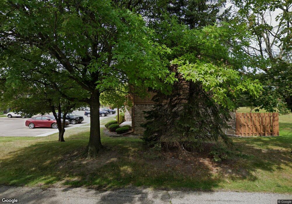
19632 Raleigh Cir S Unit 45 Southfield, MI 48076
Estimated Value: $150,000 - $181,000
2
Beds
2
Baths
1,118
Sq Ft
$146/Sq Ft
Est. Value
About This Home
This home is located at 19632 Raleigh Cir S Unit 45, Southfield, MI 48076 and is currently estimated at $163,099, approximately $145 per square foot. 19632 Raleigh Cir S Unit 45 is a home located in Oakland County with nearby schools including Alice M. Birney K-8 School, Mcintyre Elementary School, and Farber Hebrew Day School.
Ownership History
Date
Name
Owned For
Owner Type
Purchase Details
Closed on
Feb 14, 2012
Sold by
Oakland County Treasurer
Bought by
Murray Lakeshia
Current Estimated Value
Purchase Details
Closed on
Jul 24, 2007
Sold by
Malone Robert
Bought by
Wells Fargo Bank Na and Securitized Asset Backed Receivables Llc
Purchase Details
Closed on
Jan 26, 2005
Sold by
Lee Deborah Griffin
Bought by
Malone Robert
Home Financials for this Owner
Home Financials are based on the most recent Mortgage that was taken out on this home.
Original Mortgage
$112,410
Interest Rate
8.75%
Mortgage Type
Purchase Money Mortgage
Purchase Details
Closed on
Jan 18, 1996
Sold by
Mcentee Thomas W
Bought by
Griffin Deborah Lee
Create a Home Valuation Report for This Property
The Home Valuation Report is an in-depth analysis detailing your home's value as well as a comparison with similar homes in the area
Home Values in the Area
Average Home Value in this Area
Purchase History
| Date | Buyer | Sale Price | Title Company |
|---|---|---|---|
| Murray Lakeshia | $1,069 | None Available | |
| Wells Fargo Bank Na | $92,205 | None Available | |
| Malone Robert | $124,900 | Capital Title Ins Agency | |
| Griffin Deborah Lee | $74,000 | -- |
Source: Public Records
Mortgage History
| Date | Status | Borrower | Loan Amount |
|---|---|---|---|
| Previous Owner | Malone Robert | $112,410 | |
| Closed | Malone Robert | $6,245 |
Source: Public Records
Tax History Compared to Growth
Tax History
| Year | Tax Paid | Tax Assessment Tax Assessment Total Assessment is a certain percentage of the fair market value that is determined by local assessors to be the total taxable value of land and additions on the property. | Land | Improvement |
|---|---|---|---|---|
| 2022 | $1,283 | $55,870 | $11,900 | $43,970 |
| 2021 | $1,362 | $50,880 | $11,000 | $39,880 |
| 2020 | $1,178 | $49,430 | $6,900 | $42,530 |
| 2018 | $1,399 | $32,060 | $6,900 | $25,160 |
| 2015 | -- | $26,710 | $0 | $0 |
| 2014 | -- | $20,740 | $0 | $0 |
| 2011 | -- | $25,420 | $0 | $0 |
Source: Public Records
Map
Nearby Homes
- 19601 W 12 Mile Rd Unit 102
- 20141 Lacrosse Ave
- 20120 Covington Pkwy
- 28450 Tapert Dr
- 20351 Lacrosse Ave
- 21650 W 11 Mile Rd
- 18797 Wiltshire Blvd
- 29140 Candlewood Ln
- 27925 Arlington Dr
- 20345 Harbor Ln
- 29214 Candlewood Ln
- 27430 Evergreen Rd Unit 36
- 29662 Westbrook Pkwy
- 18830 San Quentin Dr
- 20780 Wayland St
- 29743 Chelmsford Rd
- 29484 Spring Hill Dr
- 29239 Somerset Dr
- 19360 W 11 Mile Rd
- 21140 Winchester St
- 19665 Raleigh Cir S Unit 32
- 28627 Regent Ct N Unit 113
- 19646 Raleigh Cir N Unit 70
- 19678 Raleigh Cir N Unit 75
- 28627 Regent Ct N
- 28623 Regent Ct N Unit 114
- 19675 Raleigh Cir S Unit 5, 30
- 28636 Regent Ct N Unit 16, 99
- 28537 Regent Ct S Unit 2, 124
- 19689 Raleigh Cir N Unit 9, 53
- 28588 Regent Ct S Unit 8
- 28531 Regent Ct S Unit 2, 125
- 28651 Regent Ct N Unit 110
- 28659 Regent Ct N
- 28665 Regent Ct N
- 28673 Regent Ct N Unit 107
- 28681 Regent Ct N Unit 106
- 28605 Regent Ct N Unit 117
- 28611 Regent Ct N
- 28619 Regent Ct N Unit 115