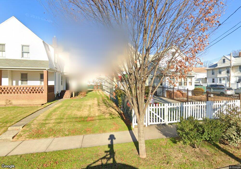
19633 89th Ave Hollis, NY 11423
Hollis NeighborhoodEstimated Value: $715,000 - $891,000
--
Bed
--
Bath
1,376
Sq Ft
$580/Sq Ft
Est. Value
About This Home
This home is located at 19633 89th Ave, Hollis, NY 11423 and is currently estimated at $797,604, approximately $579 per square foot. 19633 89th Ave is a home located in Queens County with nearby schools including P.S. 35 Nathaniel Woodhull, I.S. 238 Susan B Anthony Academy, and The Wellspring Schools.
Ownership History
Date
Name
Owned For
Owner Type
Purchase Details
Closed on
Oct 31, 2025
Sold by
Ramsadeen Chandra and Ramsadeen Ramjit
Bought by
Ramsadeen Living Trust
Current Estimated Value
Purchase Details
Closed on
Apr 7, 1997
Sold by
Rivera Abinado and Rivera Petronila
Bought by
Ramsadeen Ramjit and Ramsadeen Chandrowtie
Home Financials for this Owner
Home Financials are based on the most recent Mortgage that was taken out on this home.
Original Mortgage
$118,400
Interest Rate
8.08%
Mortgage Type
Purchase Money Mortgage
Create a Home Valuation Report for This Property
The Home Valuation Report is an in-depth analysis detailing your home's value as well as a comparison with similar homes in the area
Home Values in the Area
Average Home Value in this Area
Purchase History
| Date | Buyer | Sale Price | Title Company |
|---|---|---|---|
| Ramsadeen Living Trust | -- | -- | |
| Ramsadeen Ramjit | $148,000 | First American Title Ins Co |
Source: Public Records
Mortgage History
| Date | Status | Borrower | Loan Amount |
|---|---|---|---|
| Previous Owner | Ramsadeen Ramjit | $118,400 |
Source: Public Records
Tax History Compared to Growth
Tax History
| Year | Tax Paid | Tax Assessment Tax Assessment Total Assessment is a certain percentage of the fair market value that is determined by local assessors to be the total taxable value of land and additions on the property. | Land | Improvement |
|---|---|---|---|---|
| 2025 | $6,303 | $34,717 | $12,348 | $22,369 |
| 2024 | $6,316 | $32,784 | $11,706 | $21,078 |
| 2023 | $5,936 | $30,954 | $11,866 | $19,088 |
| 2022 | $5,550 | $36,000 | $16,560 | $19,440 |
| 2021 | $5,857 | $34,020 | $16,560 | $17,460 |
| 2020 | $5,828 | $34,020 | $14,700 | $19,320 |
| 2019 | $5,422 | $33,240 | $14,700 | $18,540 |
| 2018 | $4,961 | $25,795 | $12,514 | $13,281 |
| 2017 | $4,667 | $24,364 | $10,436 | $13,928 |
| 2016 | $4,561 | $24,364 | $10,436 | $13,928 |
| 2015 | $2,552 | $24,109 | $12,733 | $11,376 |
| 2014 | $2,552 | $22,767 | $13,792 | $8,975 |
Source: Public Records
Map
Nearby Homes
- 88-27 196th St
- 89-48 196th St
- 88-38 201st St
- 196-33 Foothill Ave
- 19633 Foothill Ave
- 90-35 198th St
- 8925 201st St
- 88-44 202nd St
- 196-35 Dunton Ave Unit 1
- 88-49 202nd St
- 87-44 Marengo St Unit 2A
- 87-24 Marengo St Unit 2B
- 87-16 Marengo St Unit 2B
- 92-22 195th Place
- 9051 201st St
- 9141 195th St
- 19515 Woodhull Ave
- 19511 Woodhull Ave
- 191-13 Jamaica Ave
- 198-02 Pompeii Ave Unit 1 B
- 19637 89th Ave
- 19629 89th Ave
- 197-01 89th Ave
- 197-07 89th Ave
- 19701 89th Ave
- 8838 197th St
- 19625 89th Ave
- 19703 89th Ave
- 89-02 197th St Unit 2
- 8834 197th St
- 19705 89th Ave
- 8835 197th St
- 88-30 197th St
- 19615 89th Ave
- 8830 197th St
- 19632 89th Ave
- 8902 197th St
- 88-28 197th St Unit 3rd fl
- 88-28 197th St Unit 2nd Fl
- 88-28 197th St