19633 Sligo Rd Freeport, OH 43973
Estimated Value: $151,000 - $199,000
2
Beds
2
Baths
910
Sq Ft
$182/Sq Ft
Est. Value
About This Home
This home is located at 19633 Sligo Rd, Freeport, OH 43973 and is currently estimated at $165,521, approximately $181 per square foot. 19633 Sligo Rd is a home located in Guernsey County with nearby schools including Buckeye Trail Elementary School, Buckeye Trail Middle School, and Buckeye Trail High School.
Ownership History
Date
Name
Owned For
Owner Type
Purchase Details
Closed on
Apr 29, 2011
Sold by
Reedy Fay E and Reedy Fay
Bought by
Laura Antony J
Current Estimated Value
Home Financials for this Owner
Home Financials are based on the most recent Mortgage that was taken out on this home.
Original Mortgage
$51,600
Outstanding Balance
$37,177
Interest Rate
6.17%
Mortgage Type
New Conventional
Estimated Equity
$128,344
Create a Home Valuation Report for This Property
The Home Valuation Report is an in-depth analysis detailing your home's value as well as a comparison with similar homes in the area
Purchase History
| Date | Buyer | Sale Price | Title Company |
|---|---|---|---|
| Laura Antony J | $64,500 | None Available |
Source: Public Records
Mortgage History
| Date | Status | Borrower | Loan Amount |
|---|---|---|---|
| Open | Laura Antony J | $51,600 |
Source: Public Records
Tax History
| Year | Tax Paid | Tax Assessment Tax Assessment Total Assessment is a certain percentage of the fair market value that is determined by local assessors to be the total taxable value of land and additions on the property. | Land | Improvement |
|---|---|---|---|---|
| 2025 | $686 | $37,986 | $12,338 | $25,648 |
| 2024 | $688 | $37,986 | $12,338 | $25,648 |
| 2023 | $691 | $33,320 | $10,822 | $22,498 |
| 2022 | $632 | $33,320 | $10,820 | $22,500 |
| 2021 | $609 | $33,320 | $10,820 | $22,500 |
| 2020 | $402 | $27,970 | $9,310 | $18,660 |
| 2019 | $398 | $27,970 | $9,310 | $18,660 |
| 2018 | $515 | $27,970 | $9,310 | $18,660 |
| 2017 | $275 | $24,270 | $8,100 | $16,170 |
| 2016 | $614 | $24,270 | $8,100 | $16,170 |
| 2015 | $614 | $24,270 | $8,100 | $16,170 |
| 2014 | -- | $17,520 | $6,300 | $11,220 |
| 2013 | $364 | $17,520 | $6,300 | $11,220 |
Source: Public Records
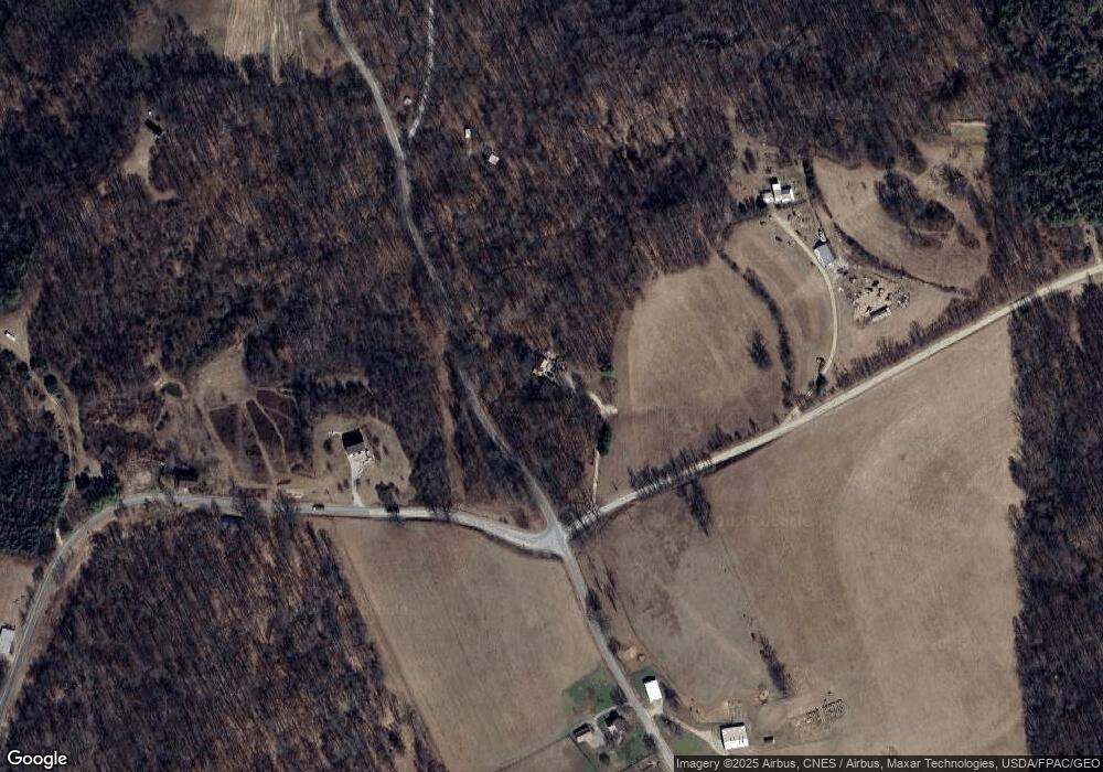
Map
Nearby Homes
- 18371 Sugartree Rd
- 6030 Atkinson Creek Rd SE
- 23033 Cadiz Rd
- 73353 Birmingham Rd
- 16965 Anderson Rd
- 15639 Grove Rd SE
- 217 S High St
- 226 E Main St
- 110 Dewey Ave
- 15216 Grove Rd SE
- 18579 Hobbler Rd
- 18579 Hobbler Ln
- 75940 Smyrna Rd
- 18513 Hobbler Ln
- 27720 Norris Rd
- 18010 Winterset Ln
- 75959 Vandalia Lot 113-114 Ln
- 80860 Davis St
- 18028 Winterset Ln
- 75959 Vandalia Ln Unit 433 & 434
Your Personal Tour Guide
Ask me questions while you tour the home.