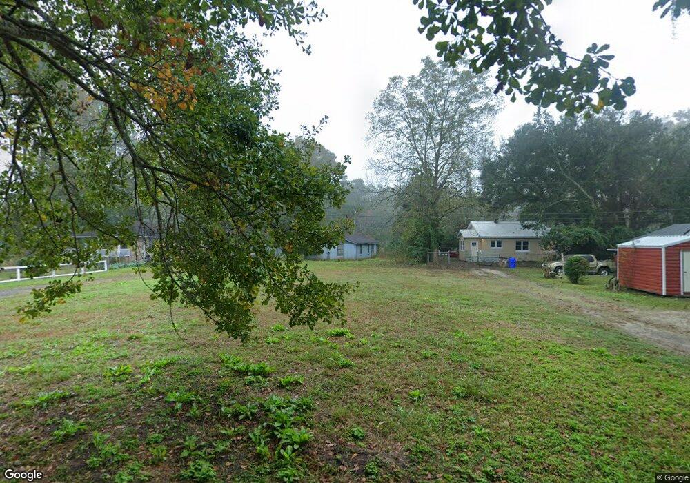
1964 Dawson Rd Charleston, SC 29412
James Island NeighborhoodEstimated Value: $477,000 - $547,000
3
Beds
1
Bath
1,460
Sq Ft
$346/Sq Ft
Est. Value
About This Home
This home is located at 1964 Dawson Rd, Charleston, SC 29412 and is currently estimated at $505,451, approximately $346 per square foot. 1964 Dawson Rd is a home located in Charleston County with nearby schools including Murray-LaSaine Montessori School, Harbor View Elementary School, and Camp Road Middle.
Ownership History
Date
Name
Owned For
Owner Type
Purchase Details
Closed on
Jul 5, 2017
Sold by
Drayton Benjamin
Bought by
Brown Irvin
Current Estimated Value
Purchase Details
Closed on
Aug 3, 2016
Sold by
Youngblood Karen D
Bought by
Brown Irvine
Purchase Details
Closed on
Aug 2, 2016
Sold by
Jones Donna
Bought by
Brown Irvin
Purchase Details
Closed on
Jul 30, 2016
Sold by
Brent Malisha A
Bought by
Brown Irvin
Purchase Details
Closed on
Mar 2, 2015
Sold by
Brown Green Mary
Bought by
Brown Irvin
Purchase Details
Closed on
Sep 12, 2006
Sold by
Harris Alice Carol
Bought by
Brown Irvin
Create a Home Valuation Report for This Property
The Home Valuation Report is an in-depth analysis detailing your home's value as well as a comparison with similar homes in the area
Home Values in the Area
Average Home Value in this Area
Purchase History
| Date | Buyer | Sale Price | Title Company |
|---|---|---|---|
| Brown Irvin | -- | None Available | |
| Brown Irvine | -- | -- | |
| Brown Irvin | -- | -- | |
| Brown Irvin | -- | -- | |
| Brown Irvin | -- | -- | |
| Brown Irvin | $20,000 | None Available | |
| Harris Alice Carol | -- | None Available | |
| Brown Dwayne | -- | None Available |
Source: Public Records
Tax History Compared to Growth
Tax History
| Year | Tax Paid | Tax Assessment Tax Assessment Total Assessment is a certain percentage of the fair market value that is determined by local assessors to be the total taxable value of land and additions on the property. | Land | Improvement |
|---|---|---|---|---|
| 2024 | $2,492 | $8,230 | $0 | $0 |
| 2023 | $2,492 | $8,230 | $0 | $0 |
| 2022 | $2,273 | $8,230 | $0 | $0 |
| 2021 | $2,252 | $8,230 | $0 | $0 |
| 2020 | $2,200 | $8,230 | $0 | $0 |
| 2019 | $530 | $2,770 | $0 | $0 |
| 2017 | $503 | $4,770 | $0 | $0 |
| 2016 | $717 | $4,770 | $0 | $0 |
| 2015 | $710 | $4,770 | $0 | $0 |
| 2014 | $659 | $0 | $0 | $0 |
| 2011 | -- | $0 | $0 | $0 |
Source: Public Records
Map
Nearby Homes
- 1916 Hollings Rd
- 475 Woodland Shores Rd
- 0 Lucky Rd Unit 24028810
- 612 Fleming Rd
- 1981 Central Park Rd
- 2128 Bradham Rd
- 1950 Bradham Rd
- 2134 Bradham Rd
- 521 W Wimbledon Dr
- 0 Folly Beach Rd Unit 21025250
- 340 Stefan Dr
- 2131 Pentland Dr
- 779 Riverland Dr
- 2138 Terrabrook Ln
- 679 & 683 Riley Rd
- 744 Minton Rd
- 746 Minton Rd
- 748 Minton Rd
- 750 Minton Rd
- 752 Minton Rd
- 1969 Dawson Rd
- 1975 Dawson Rd
- 1973 Dawson Rd
- 1973 Dawson Rd
- 0 Dawson Rd
- 1974 Dawson Rd
- 0 Dawson Ln
- 1963 Hollings Rd
- 1943 Hollings Rd
- 1963 Dawson Rd
- 0 Dawson St
- Lot 6 Daniel Whaley Rd
- 1980 Dawson Rd
- 1947 Hollings Rd
- 1975 Hollings Rd
- 1937 Hollings Rd
- 632 Riverland Dr
- 644 Daniel Whaley Dr
- 1981 Hollings Rd
- 1986 Dawson Rd