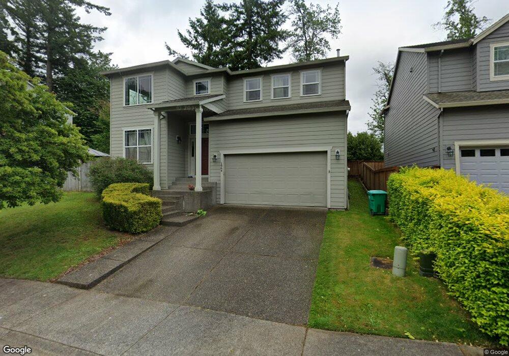
1964 SW 20th Ct Gresham, OR 97080
Gresham Butte NeighborhoodEstimated Value: $545,940 - $573,000
3
Beds
3
Baths
2,465
Sq Ft
$226/Sq Ft
Est. Value
About This Home
This home is located at 1964 SW 20th Ct, Gresham, OR 97080 and is currently estimated at $557,235, approximately $226 per square foot. 1964 SW 20th Ct is a home located in Multnomah County with nearby schools including Hollydale Elementary School, Dexter McCarty Middle School, and Gresham High School.
Ownership History
Date
Name
Owned For
Owner Type
Purchase Details
Closed on
Jan 15, 2008
Sold by
Weegar Allen D
Bought by
Moormann William and Moormann Lisa D
Current Estimated Value
Home Financials for this Owner
Home Financials are based on the most recent Mortgage that was taken out on this home.
Original Mortgage
$244,000
Outstanding Balance
$151,705
Interest Rate
5.96%
Mortgage Type
Purchase Money Mortgage
Estimated Equity
$405,530
Purchase Details
Closed on
Aug 27, 2002
Sold by
Centex Homes
Bought by
Weegar Allen D and Smith Weegar Laurie A
Home Financials for this Owner
Home Financials are based on the most recent Mortgage that was taken out on this home.
Original Mortgage
$189,114
Interest Rate
6.12%
Mortgage Type
Purchase Money Mortgage
Create a Home Valuation Report for This Property
The Home Valuation Report is an in-depth analysis detailing your home's value as well as a comparison with similar homes in the area
Home Values in the Area
Average Home Value in this Area
Purchase History
| Date | Buyer | Sale Price | Title Company |
|---|---|---|---|
| Moormann William | $305,000 | Transnation Title Agency Or | |
| Weegar Allen D | $236,393 | First American |
Source: Public Records
Mortgage History
| Date | Status | Borrower | Loan Amount |
|---|---|---|---|
| Open | Moormann William | $244,000 | |
| Previous Owner | Weegar Allen D | $189,114 | |
| Closed | Weegar Allen D | $47,278 |
Source: Public Records
Tax History
| Year | Tax Paid | Tax Assessment Tax Assessment Total Assessment is a certain percentage of the fair market value that is determined by local assessors to be the total taxable value of land and additions on the property. | Land | Improvement |
|---|---|---|---|---|
| 2025 | $6,388 | $313,920 | -- | -- |
| 2024 | $6,115 | $304,780 | -- | -- |
| 2023 | $5,571 | $295,910 | $0 | $0 |
| 2022 | $5,416 | $287,300 | $0 | $0 |
| 2021 | $5,279 | $278,940 | $0 | $0 |
| 2020 | $4,967 | $270,820 | $0 | $0 |
| 2019 | $4,837 | $262,940 | $0 | $0 |
| 2018 | $4,613 | $255,290 | $0 | $0 |
| 2017 | $4,425 | $247,860 | $0 | $0 |
| 2016 | $3,902 | $240,650 | $0 | $0 |
Source: Public Records
Map
Nearby Homes
- 1859 SW Angeline Ave
- 1829 SW 17th St
- 1441 SW 23rd Ct
- 2520 SW Towle Ave
- 1488 SW 17th Ct Unit N
- 1488 SW 17th Ct
- 1261 SW Binford Lake Pkwy
- 1744 SW Battaglia Ave
- 1333 SW 19th Dr
- 1960 SW 13th Ct
- 1963 SW Myers Place
- 1278 SW 27th Ct
- 1175 SW Chastain Dr
- 2791 SW Myers Dr
- 3120 SW Orchard Place
- 1320 SW 31st St
- 3198 SW 16th Cir
- 3506 SW Battaglia Ave
- 3503 SW Battaglia Ave
- 3512 SW Battaglia Ave
- 1958 SW 20th Ct
- 1965 SW Binford Lake Pkwy
- 1950 SW 20th Ct
- 1961 SW 20th Ct
- 1837 SW Binford Lake Pkwy
- 1984 SW 20th Ct
- 1944 SW 20th Ct
- 1935 SW Binfordlakeprkway
- 1935 SW Binford Lake Pkwy
- 2066 SW Heiney Rd
- 1915 SW Binford Lake Pkwy
- 1985 SW 20th Ct
- 1943 SW 20th Ct
- 1995 SW Binford Lake Pw
- 1995 SW Binford Lake Pkwy
- 1994 SW 20th Ct
- 2078 SW Heiney Rd
- 1916 SW 20th Ct
- 1974 SW 19th Terrace
- 1993 SW 20th Ct
Your Personal Tour Guide
Ask me questions while you tour the home.