19649 Bryant Ave Purcell, OK 73080
Estimated Value: $300,000 - $497,113
2
Beds
1
Bath
1,760
Sq Ft
$230/Sq Ft
Est. Value
About This Home
This home is located at 19649 Bryant Ave, Purcell, OK 73080 and is currently estimated at $404,371, approximately $229 per square foot. 19649 Bryant Ave is a home located in McClain County with nearby schools including Washington Elementary School, Washington Middle School, and Washington High School.
Ownership History
Date
Name
Owned For
Owner Type
Purchase Details
Closed on
Dec 29, 2023
Sold by
Hernandez Raul Marcos
Bought by
Morales Patricia
Current Estimated Value
Purchase Details
Closed on
Jul 11, 2022
Sold by
Lisa Baker
Bought by
Akin Deanna
Purchase Details
Closed on
Nov 5, 2008
Sold by
Akin Deanna L and Akin Mark L
Bought by
Akin Deanna L and Akin Mark L
Purchase Details
Closed on
Jan 27, 1995
Sold by
Williams Sidney
Bought by
Forster Hugh
Create a Home Valuation Report for This Property
The Home Valuation Report is an in-depth analysis detailing your home's value as well as a comparison with similar homes in the area
Purchase History
| Date | Buyer | Sale Price | Title Company |
|---|---|---|---|
| Morales Patricia | -- | None Listed On Document | |
| Akin Deanna | -- | None Listed On Document | |
| Akin Deanna L | -- | None Available | |
| Forster Hugh | $45,000 | -- |
Source: Public Records
Tax History
| Year | Tax Paid | Tax Assessment Tax Assessment Total Assessment is a certain percentage of the fair market value that is determined by local assessors to be the total taxable value of land and additions on the property. | Land | Improvement |
|---|---|---|---|---|
| 2025 | $2,621 | $25,670 | $2,384 | $23,286 |
| 2024 | $2,542 | $24,921 | $2,314 | $22,607 |
| 2023 | $2,542 | $24,196 | $1,326 | $22,870 |
| 2022 | $2,449 | $23,491 | $1,217 | $22,274 |
| 2021 | $2,043 | $22,807 | $1,176 | $21,631 |
| 2020 | $2,016 | $22,143 | $1,137 | $21,006 |
| 2019 | $1,980 | $21,499 | $1,121 | $20,378 |
| 2018 | $1,969 | $20,872 | $1,084 | $19,788 |
| 2017 | $1,931 | $20,264 | $979 | $19,285 |
| 2016 | $1,899 | $19,673 | $957 | $18,716 |
| 2015 | $1,686 | $19,101 | $1,017 | $18,084 |
| 2014 | $1,665 | $18,544 | $989 | $17,555 |
Source: Public Records
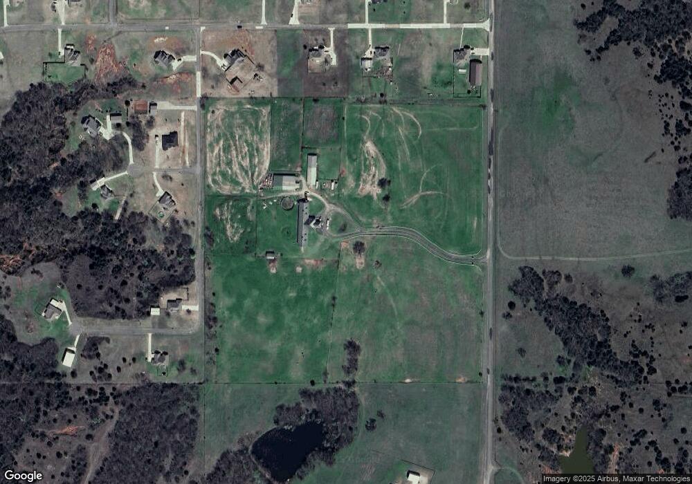
Map
Nearby Homes
- 20195 Wolf Creek Dr
- 20224 Lampkin Trail
- 20309 Lampkin Trail
- 20308 Lampkin Trail
- 20260 Lampkin Trail
- 21544 Ash Tree Ln
- 21392 Ash Tree Ln
- 21663 Trophy Ridge Dr
- 21637 Trophy Ridge Dr
- 21290 Ash Tree Ln
- 21387 Ash Tree Ln
- 20328 Three Oaks Way
- 40 201st ( Lot 14) St
- 20362 Three Oaks Way
- 40 201st ( Lot 9) St
- 40 201st ( Lot 13) St
- 20390 Three Oaks Way
- 22566 Ranch Rd
- 0 SE Ladd Ae & 210th St Unit Lot E
- 20251 208th St
- 21900 197th St
- 21669 Hill View Ct
- 21660 197th St
- 19786 Canyon Rock Rd
- 21920 197th St
- 21668 Bluff Point Ct
- 21968 197th St
- 19785 Canyon Rock Rd
- 21855 197th St
- 21670 Hill View Ct
- 21783 197th St
- 21897 197th St
- 21658 Hill View Ct
- 21963 197th St
- 19836 Rolling Meadows Ln
- 19403 Bryant Ave
- 21651 197th St
- 19888 Rolling Meadows Ln
- 21605 Bluff Point Ct
- 21558 197th St
Your Personal Tour Guide
Ask me questions while you tour the home.