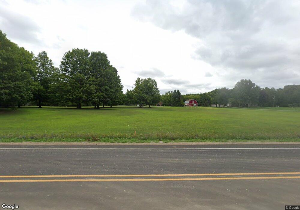
1965 76th St SW Byron Center, MI 49315
Estimated Value: $631,000 - $756,000
--
Bed
1
Bath
2,286
Sq Ft
$306/Sq Ft
Est. Value
About This Home
This home is located at 1965 76th St SW, Byron Center, MI 49315 and is currently estimated at $699,853, approximately $306 per square foot. 1965 76th St SW is a home located in Kent County with nearby schools including Marshall Elementary School, Robert L. Nickels Intermediate School, and Byron Center West Middle School.
Ownership History
Date
Name
Owned For
Owner Type
Purchase Details
Closed on
Jul 15, 2019
Sold by
Strohpaul Curtis Raymond and Estate Of Connie Ray Strohpaul
Bought by
Strohpaul Curtis R and Ratcrink Mary L
Current Estimated Value
Purchase Details
Closed on
Sep 16, 1998
Sold by
Eversdyk Peter E and Eversdyk Nancy J
Bought by
Gay Sttobpaul Connie and Gay Strobpaul
Create a Home Valuation Report for This Property
The Home Valuation Report is an in-depth analysis detailing your home's value as well as a comparison with similar homes in the area
Home Values in the Area
Average Home Value in this Area
Purchase History
| Date | Buyer | Sale Price | Title Company |
|---|---|---|---|
| Strohpaul Curtis R | -- | Sun Title Agency Of Mi Llc | |
| Gay Sttobpaul Connie | -- | -- | |
| Strohpaul Connie | -- | None Available |
Source: Public Records
Tax History Compared to Growth
Tax History
| Year | Tax Paid | Tax Assessment Tax Assessment Total Assessment is a certain percentage of the fair market value that is determined by local assessors to be the total taxable value of land and additions on the property. | Land | Improvement |
|---|---|---|---|---|
| 2025 | $4,492 | $400,000 | $0 | $0 |
| 2024 | $4,492 | $358,600 | $0 | $0 |
| 2023 | $4,296 | $313,700 | $0 | $0 |
| 2022 | $5,900 | $280,900 | $0 | $0 |
| 2021 | $5,743 | $261,600 | $0 | $0 |
| 2020 | $3,954 | $259,800 | $0 | $0 |
| 2019 | $5,669 | $245,700 | $0 | $0 |
| 2018 | $5,554 | $228,500 | $79,300 | $149,200 |
| 2017 | $5,474 | $206,500 | $0 | $0 |
| 2016 | $5,156 | $192,600 | $0 | $0 |
| 2015 | $5,122 | $192,600 | $0 | $0 |
| 2013 | -- | $165,000 | $0 | $0 |
Source: Public Records
Map
Nearby Homes
- 7609 Clementine Ave
- The Preston Plan at Alden Grove
- The Marley Plan at Alden Grove
- The Grayson Plan at Alden Grove
- The Crestview Plan at Alden Grove
- The Hadley Plan at Alden Grove
- The Maxwell Plan at Alden Grove
- The Stockton Plan at Alden Grove
- The Mayfair Plan at Alden Grove
- The Balsam Plan at Alden Grove
- The Newport Plan at Alden Grove
- The Sebastian Plan at Alden Grove
- The Jamestown Plan at Alden Grove
- The Georgetown Plan at Alden Grove
- The Fitzgerald Plan at Alden Grove
- The Sanibel Plan at Alden Grove
- The Wisteria Plan at Alden Grove
- The Hearthside Plan at Alden Grove
- 1752 Springwind Dr SW
- 1645 Springwind Dr SW
- 1923 76th St SW
- 2045 76th St SW
- 2039 76th St SW
- 2060 Whistlepipe Dr SW
- 1889 76th St SW
- 2082 Whistlepipe Dr SW
- 1909 76th St SW
- 2073 Whistlepipe Dr SW
- 2106 Whistlepipe Dr SW
- 2065 76th St SW
- 2105 Whistlepipe Dr SW
- 2128 Whistlepipe Dr SW
- 7506 Whistlepipe Ct SW
- 7518 Whistlepipe Ct SW
- 2117 Whistlepipe Dr SW
- 1847 76th St SW
- 2129 Whistlepipe Dr SW
- 2150 Whistlepipe Dr SW
- 2030 76th St SW
- 7494 Whistlepipe Ct SW
