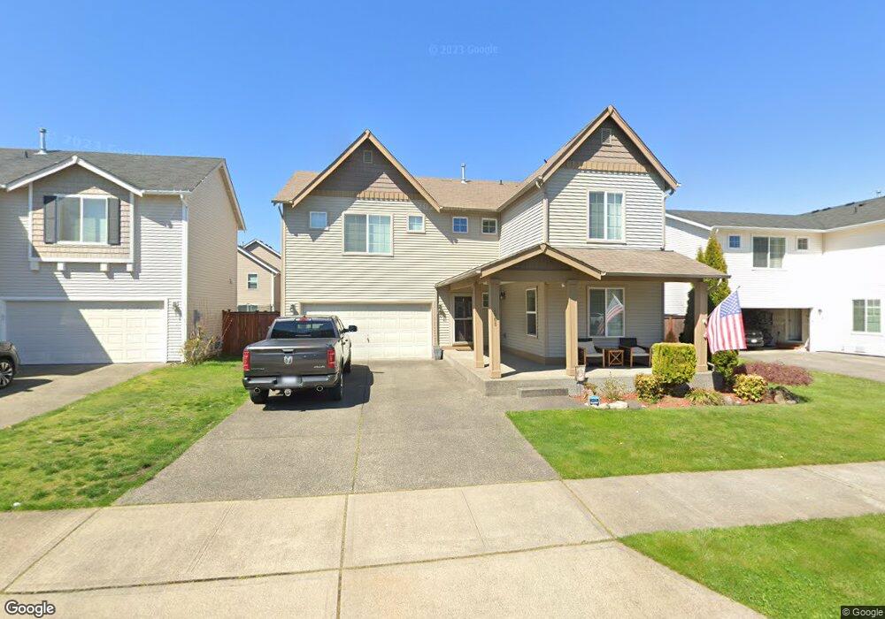
1965 Chaffee Ave Dupont, WA 98327
Estimated Value: $596,000 - $630,000
3
Beds
3
Baths
2,630
Sq Ft
$232/Sq Ft
Est. Value
About This Home
This home is located at 1965 Chaffee Ave, Dupont, WA 98327 and is currently estimated at $610,485, approximately $232 per square foot. 1965 Chaffee Ave is a home located in Pierce County with nearby schools including Chloe Clark Elementary School, Saltars Point Elementary School, and Pioneer Middle School.
Ownership History
Date
Name
Owned For
Owner Type
Purchase Details
Closed on
Jan 18, 2006
Sold by
The Quadrant Corp
Bought by
Ohno Eutemio R and Ohno Khampho Thammavongxay
Current Estimated Value
Home Financials for this Owner
Home Financials are based on the most recent Mortgage that was taken out on this home.
Original Mortgage
$221,652
Interest Rate
6.21%
Mortgage Type
Fannie Mae Freddie Mac
Create a Home Valuation Report for This Property
The Home Valuation Report is an in-depth analysis detailing your home's value as well as a comparison with similar homes in the area
Home Values in the Area
Average Home Value in this Area
Purchase History
| Date | Buyer | Sale Price | Title Company |
|---|---|---|---|
| Ohno Eutemio R | $277,065 | Chicago Title |
Source: Public Records
Mortgage History
| Date | Status | Borrower | Loan Amount |
|---|---|---|---|
| Previous Owner | Ohno Eutemio R | $221,652 |
Source: Public Records
Tax History Compared to Growth
Tax History
| Year | Tax Paid | Tax Assessment Tax Assessment Total Assessment is a certain percentage of the fair market value that is determined by local assessors to be the total taxable value of land and additions on the property. | Land | Improvement |
|---|---|---|---|---|
| 2025 | $4,324 | $589,100 | $231,300 | $357,800 |
| 2024 | $4,324 | $561,400 | $222,800 | $338,600 |
| 2023 | $4,324 | $537,400 | $215,300 | $322,100 |
| 2022 | $4,312 | $547,700 | $215,300 | $332,400 |
| 2021 | $4,096 | $406,900 | $136,800 | $270,100 |
| 2019 | $3,667 | $371,000 | $114,000 | $257,000 |
| 2018 | $3,942 | $358,700 | $114,000 | $244,700 |
| 2017 | $3,540 | $337,800 | $99,300 | $238,500 |
| 2016 | $3,381 | $306,000 | $83,800 | $222,200 |
| 2014 | $3,262 | $300,400 | $83,800 | $216,600 |
| 2013 | $3,262 | $277,600 | $85,400 | $192,200 |
Source: Public Records
Map
Nearby Homes
- 2357 Wallace St
- 2420 Simmons St
- 2702 Meyer St
- 2055 Garry Oaks Ave Unit B
- 1875 Mcneil Cir Unit E-1
- 1821 Mcneil Cir Unit D-3
- 1856 Spencer Ct Unit 12F
- 1607 Kincaid St Unit E-8
- 2176 McDonald Ave
- 1788 Cadborough Ln
- 1449 Bobs Hollow Ln
- 3073 Hoffman Hill Blvd
- 2160 Anderson Ave
- 2237 Tolmie St
- 2104 Palisade Blvd Unit B-7
- 2198 Palisade Blvd Unit C2
- 2147 Hammond Ave Unit B10
- 1625 Palisade Blvd
- 1375 Foreman Rd
- 1451 Thompson Cir Unit 4A
- 1981 Chaffee Ave
- 1974 Homan Ave
- 1933 Chaffee Ave
- 1952 Homan Ave
- 1988 Homan Ave
- 1926 Homan Ave
- 1962 Chaffee Ave
- 1978 Chaffee Ave
- 1917 Chaffee Ave
- 1946 Chaffee Ave
- 1984 Chaffee Ave
- 1930 Chaffee Ave
- 1910 Homan Ave
- 2350 Simmons St Unit C
- 2350 Simmons St Unit B
- 2350 Simmons St Unit A
- 001 Simmons St
- 2370 Simmons St
- 2370 Simmons St
- 2370 Simmons St Unit C