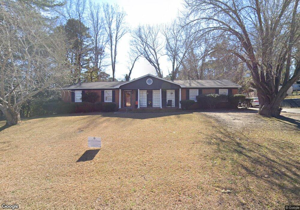
1965 Long Ridge Dr Macon, GA 31211
Estimated Value: $141,000 - $158,000
3
Beds
2
Baths
1,290
Sq Ft
$117/Sq Ft
Est. Value
About This Home
This home is located at 1965 Long Ridge Dr, Macon, GA 31211 and is currently estimated at $151,361, approximately $117 per square foot. 1965 Long Ridge Dr is a home located in Bibb County with nearby schools including Martin Luther King Jr. Elementary School, Appling Middle School, and Northeast High School.
Ownership History
Date
Name
Owned For
Owner Type
Purchase Details
Closed on
Jul 25, 2019
Sold by
Gainey Demetrice M
Bought by
Gainey Demetrice M and Gainey Marvin Keith
Current Estimated Value
Home Financials for this Owner
Home Financials are based on the most recent Mortgage that was taken out on this home.
Original Mortgage
$81,496
Outstanding Balance
$71,398
Interest Rate
3.82%
Mortgage Type
FHA
Estimated Equity
$79,963
Purchase Details
Closed on
Jul 24, 2019
Sold by
Neblett Blackmon Jovanni and Neblett Jovanni
Bought by
Gainey Demetrice M
Home Financials for this Owner
Home Financials are based on the most recent Mortgage that was taken out on this home.
Original Mortgage
$81,496
Outstanding Balance
$71,398
Interest Rate
3.82%
Mortgage Type
FHA
Estimated Equity
$79,963
Purchase Details
Closed on
Sep 12, 2003
Bought by
Neblett Jovanni
Create a Home Valuation Report for This Property
The Home Valuation Report is an in-depth analysis detailing your home's value as well as a comparison with similar homes in the area
Home Values in the Area
Average Home Value in this Area
Purchase History
| Date | Buyer | Sale Price | Title Company |
|---|---|---|---|
| Gainey Demetrice M | -- | None Available | |
| Gainey Demetrice M | $83,000 | None Available | |
| Neblett Jovanni | $88,000 | -- |
Source: Public Records
Mortgage History
| Date | Status | Borrower | Loan Amount |
|---|---|---|---|
| Open | Gainey Demetrice M | $81,496 |
Source: Public Records
Tax History Compared to Growth
Tax History
| Year | Tax Paid | Tax Assessment Tax Assessment Total Assessment is a certain percentage of the fair market value that is determined by local assessors to be the total taxable value of land and additions on the property. | Land | Improvement |
|---|---|---|---|---|
| 2025 | $888 | $43,138 | $7,920 | $35,218 |
| 2024 | $918 | $43,138 | $7,920 | $35,218 |
| 2023 | $461 | $43,138 | $7,920 | $35,218 |
| 2022 | $1,251 | $43,145 | $8,399 | $34,746 |
| 2021 | $1,113 | $36,299 | $7,303 | $28,996 |
| 2020 | $1,017 | $36,299 | $7,303 | $28,996 |
| 2019 | $1,290 | $32,957 | $7,303 | $25,654 |
| 2018 | $2,156 | $32,957 | $7,303 | $25,654 |
| 2017 | $1,235 | $32,957 | $7,303 | $25,654 |
| 2016 | $1,140 | $32,958 | $7,303 | $25,654 |
| 2015 | $1,614 | $32,958 | $7,303 | $25,654 |
| 2014 | $1,856 | $32,958 | $7,303 | $25,654 |
Source: Public Records
Map
Nearby Homes
- 1955 Long Ridge Dr
- 1968 Long Ridge Dr
- 1958 Long Ridge Dr
- 1941 Long Ridge Dr
- 1655 Huntley Ridge Dr
- 1661 Huntley Ridge Dr
- 1974 Long Ridge Dr
- 1919 Long Ridge Dr
- 1968 Clinton Rd
- 1986 Long Ridge Dr
- 1934 Long Ridge Dr
- 1898 Springwood Dr
- 1666 Huntley Ridge Dr
- 1981 Long Ridge Dr
- 1920 Long Ridge Dr
- 1897 Springwood Dr
- 1947 Wood Valley Rd
- 1973 Wood Valley Rd
- 1953 Wood Valley Rd
- 1931 Wood Valley Rd